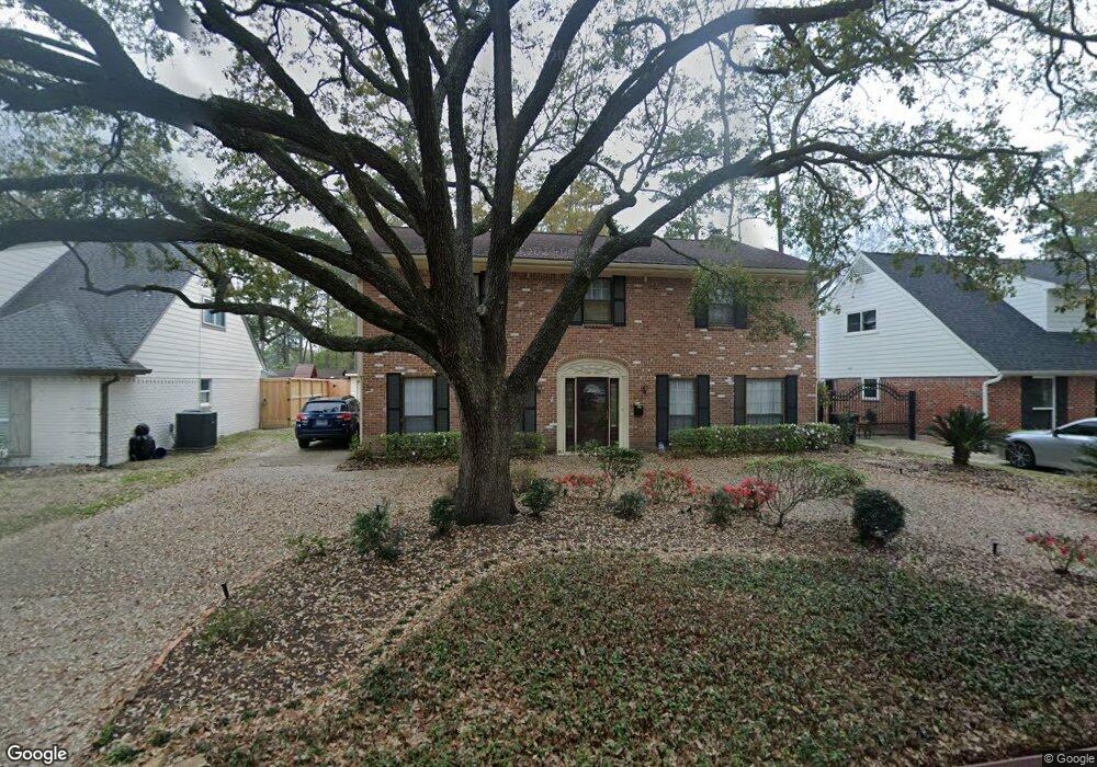
5015 Alba Rd Houston, TX 77018
Oak Forest-Garden Oaks NeighborhoodEstimated Value: $756,000 - $792,000
4
Beds
3
Baths
3,031
Sq Ft
$254/Sq Ft
Est. Value
About This Home
This home is located at 5015 Alba Rd, Houston, TX 77018 and is currently estimated at $769,575, approximately $253 per square foot. 5015 Alba Rd is a home located in Harris County with nearby schools including Durham Elementary School, Frank Black Middle School, and Waltrip High School.
Ownership History
Date
Name
Owned For
Owner Type
Purchase Details
Closed on
Jul 8, 1998
Sold by
Phillips Dana M
Bought by
Corbett Christopher and Corbett Ella Correll
Current Estimated Value
Home Financials for this Owner
Home Financials are based on the most recent Mortgage that was taken out on this home.
Original Mortgage
$152,000
Outstanding Balance
$31,322
Interest Rate
7.08%
Mortgage Type
Purchase Money Mortgage
Estimated Equity
$738,253
Purchase Details
Closed on
Mar 10, 1997
Sold by
Cook Robert Louis and Cook Della J
Bought by
Phillips Dana M
Home Financials for this Owner
Home Financials are based on the most recent Mortgage that was taken out on this home.
Original Mortgage
$92,500
Interest Rate
7.65%
Mortgage Type
Purchase Money Mortgage
Create a Home Valuation Report for This Property
The Home Valuation Report is an in-depth analysis detailing your home's value as well as a comparison with similar homes in the area
Home Values in the Area
Average Home Value in this Area
Purchase History
| Date | Buyer | Sale Price | Title Company |
|---|---|---|---|
| Corbett Christopher | -- | Regency Title | |
| Phillips Dana M | -- | -- |
Source: Public Records
Mortgage History
| Date | Status | Borrower | Loan Amount |
|---|---|---|---|
| Open | Corbett Christopher | $152,000 | |
| Previous Owner | Phillips Dana M | $92,500 |
Source: Public Records
Tax History Compared to Growth
Tax History
| Year | Tax Paid | Tax Assessment Tax Assessment Total Assessment is a certain percentage of the fair market value that is determined by local assessors to be the total taxable value of land and additions on the property. | Land | Improvement |
|---|---|---|---|---|
| 2025 | $2,528 | $577,725 | $356,000 | $221,725 |
| 2024 | $2,528 | $606,363 | $356,000 | $250,363 |
| 2023 | $2,528 | $560,582 | $320,400 | $240,182 |
| 2022 | $11,475 | $521,136 | $320,400 | $200,736 |
| 2021 | $11,167 | $479,134 | $320,400 | $158,734 |
| 2020 | $10,673 | $440,738 | $267,000 | $173,738 |
| 2019 | $11,209 | $442,955 | $277,500 | $165,455 |
| 2018 | $4,316 | $443,498 | $277,500 | $165,998 |
| 2017 | $10,079 | $456,456 | $277,500 | $178,956 |
| 2016 | $9,163 | $456,456 | $277,500 | $178,956 |
| 2015 | $3,531 | $455,162 | $277,500 | $177,662 |
| 2014 | $3,531 | $355,703 | $231,250 | $124,453 |
Source: Public Records
Map
Nearby Homes
- 950 Del Norte St
- 1012 Candlelight Ln
- 5123 Redemption Cir
- 927 S Lacey Garden Loop
- 5106 Prosperity Cir
- 949 Lilly Flower Ln
- 913 Lehman St
- 5121 E Lacey Garden Loop
- 1161 Eden Park Ln
- 968 Ford Pines Ln
- 911 Lehman St
- 964 Ford Pines Ln
- 4762 Martin St
- 4742 Martin St
- 1029 Martin St
- 1118 Del Norte St
- 1130 Bethlehem St
- 1037 Cheshire Ln
- 5227 Brinkman Ct
- 4854 Brinkman St