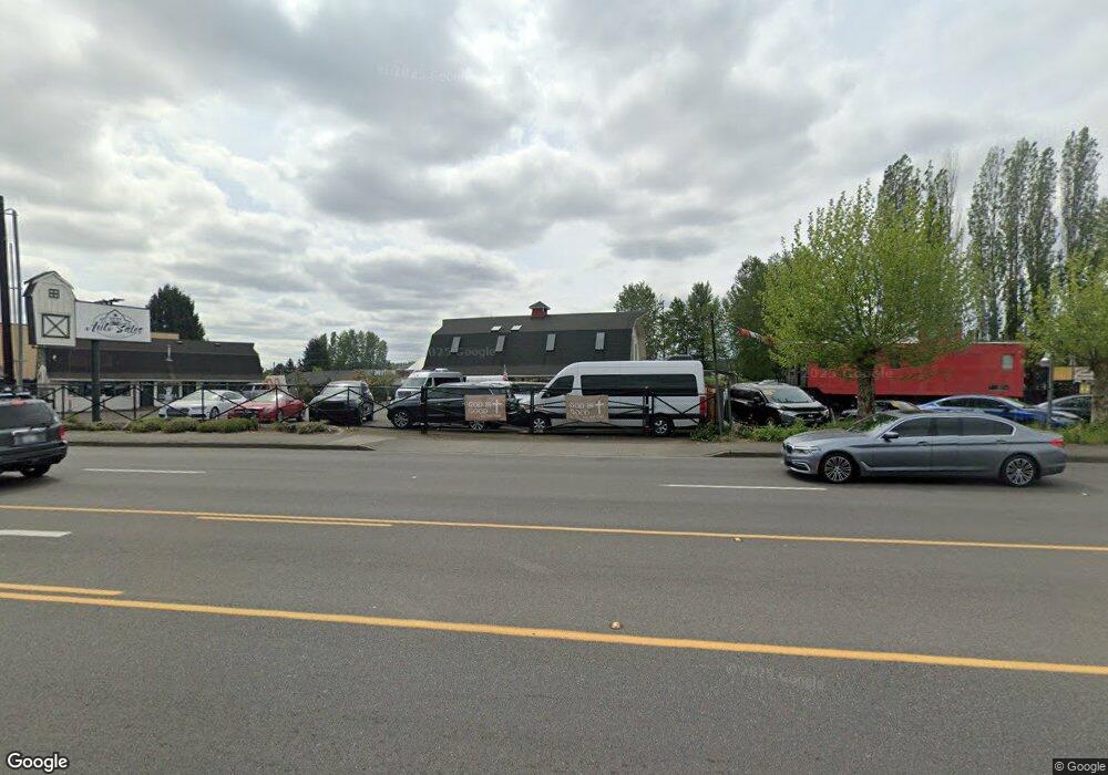
5015 Auburn Way N Auburn, WA 98002
North Auburn NeighborhoodEstimated Value: $2,086,155
3
Beds
2
Baths
3,770
Sq Ft
$553/Sq Ft
Est. Value
About This Home
This home is located at 5015 Auburn Way N, Auburn, WA 98002 and is currently estimated at $2,086,155, approximately $553 per square foot. 5015 Auburn Way N is a home located in King County with nearby schools including Evergreen Heights Elementary School, Cascade Middle School, and Auburn High School.
Ownership History
Date
Name
Owned For
Owner Type
Purchase Details
Closed on
Dec 5, 2017
Sold by
Ladson Jim G and Ladson Jerry G
Bought by
Auburn Red Barn Inc
Current Estimated Value
Home Financials for this Owner
Home Financials are based on the most recent Mortgage that was taken out on this home.
Original Mortgage
$900,000
Outstanding Balance
$757,721
Interest Rate
3.94%
Estimated Equity
$1,328,434
Purchase Details
Closed on
Mar 23, 1998
Sold by
Hauge Cornelius J and Hauge Shirley Ann
Bought by
Ladson Jim G and Ladson Jerry G
Home Financials for this Owner
Home Financials are based on the most recent Mortgage that was taken out on this home.
Original Mortgage
$405,000
Interest Rate
7.02%
Create a Home Valuation Report for This Property
The Home Valuation Report is an in-depth analysis detailing your home's value as well as a comparison with similar homes in the area
Home Values in the Area
Average Home Value in this Area
Purchase History
| Date | Buyer | Sale Price | Title Company |
|---|---|---|---|
| Auburn Red Barn Inc | $1,200,000 | First Amer Title Ins Co Natl | |
| Ladson Jim G | -- | Old Republic T | |
| Ladson Jim G | $475,000 | Old Republic Title Ltd |
Source: Public Records
Mortgage History
| Date | Status | Borrower | Loan Amount |
|---|---|---|---|
| Open | Auburn Red Barn Inc | $900,000 | |
| Previous Owner | Ladson Jim G | $405,000 |
Source: Public Records
Tax History Compared to Growth
Tax History
| Year | Tax Paid | Tax Assessment Tax Assessment Total Assessment is a certain percentage of the fair market value that is determined by local assessors to be the total taxable value of land and additions on the property. | Land | Improvement |
|---|---|---|---|---|
| 2024 | $7,974 | $650,500 | $477,100 | $173,400 |
| 2023 | $6,347 | $601,700 | $477,100 | $124,600 |
| 2022 | $7,044 | $527,300 | $421,000 | $106,300 |
| 2021 | $7,535 | $510,000 | $421,000 | $89,000 |
| 2020 | $8,067 | $518,700 | $421,000 | $97,700 |
| 2018 | $8,404 | $558,200 | $392,900 | $165,300 |
| 2017 | $8,005 | $526,100 | $392,900 | $133,200 |
| 2016 | $7,490 | $501,100 | $336,800 | $164,300 |
| 2015 | $6,968 | $499,100 | $336,800 | $162,300 |
| 2014 | -- | $449,100 | $336,800 | $112,300 |
| 2013 | -- | $473,500 | $336,800 | $136,700 |
Source: Public Records
Map
Nearby Homes
- 37 XX 49th Ave S
- 1312 51st Place NE Unit 305
- 1317 52nd St NE
- 1058 43rd Ct NE
- 1840 Central Place S Unit B10
- 1840 Central Place S Unit H89
- 1810 Maple Ln Unit M78
- 1814 Maple Ln Unit 31
- 1804 Maple Ln Unit B11
- 4916 Pike St NE
- 1720 Maple Ln Unit 11
- 1720 Maple Ln Unit 33
- 1601 Maple Ln Unit D1-D6
- 3601 I St NE
- 1540 Maple Ln Unit 35
- 1529 Maple Ln Unit L2-4
- 422 S 262nd St
- 3611 I St NE Unit 424
- 3611 I St NE Unit 162
- 3611 I St NE Unit 301