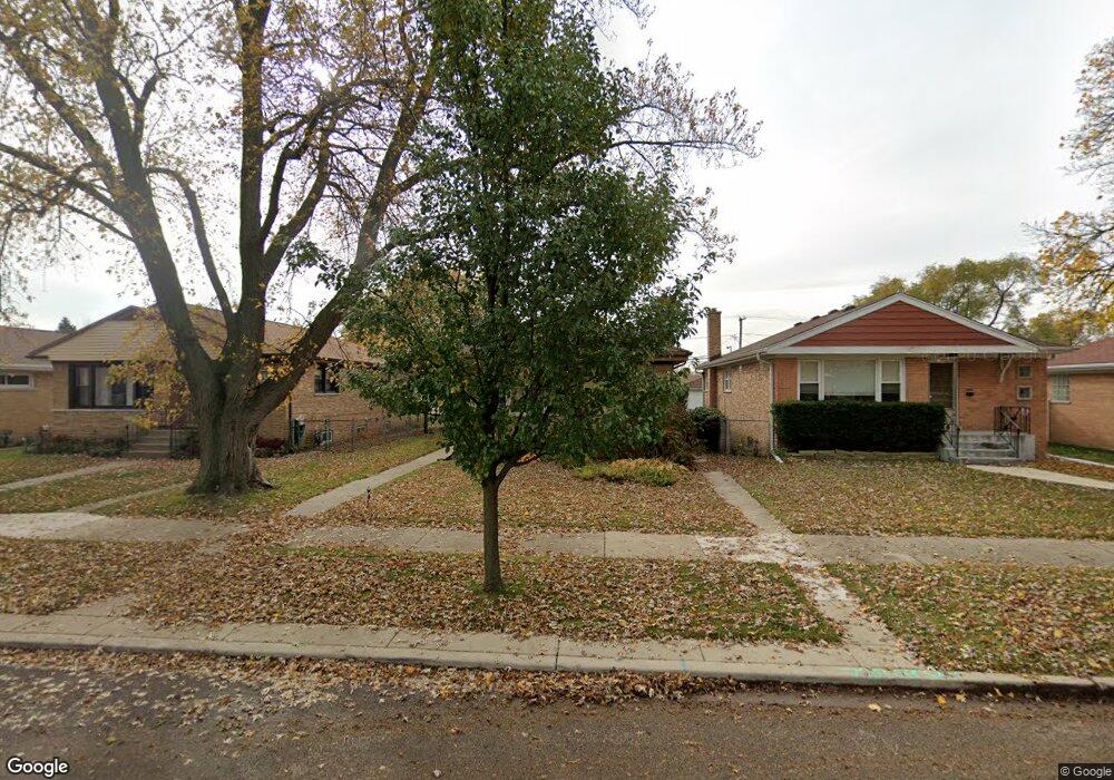
5015 Elm St Skokie, IL 60077
Southwest Skokie NeighborhoodEstimated Value: $380,000 - $458,000
3
Beds
2
Baths
1,264
Sq Ft
$335/Sq Ft
Est. Value
About This Home
This home is located at 5015 Elm St, Skokie, IL 60077 and is currently estimated at $423,020, approximately $334 per square foot. 5015 Elm St is a home located in Cook County with nearby schools including Madison Elementary School, Thomas Edison Elementary School, and Lincoln Junior High School.
Ownership History
Date
Name
Owned For
Owner Type
Purchase Details
Closed on
Oct 31, 1994
Sold by
Valenta Vladimir and Valenta Margot
Bought by
Lasserre Pierre and Barraud Maryline
Current Estimated Value
Home Financials for this Owner
Home Financials are based on the most recent Mortgage that was taken out on this home.
Original Mortgage
$130,000
Interest Rate
8.12%
Create a Home Valuation Report for This Property
The Home Valuation Report is an in-depth analysis detailing your home's value as well as a comparison with similar homes in the area
Home Values in the Area
Average Home Value in this Area
Purchase History
| Date | Buyer | Sale Price | Title Company |
|---|---|---|---|
| Lasserre Pierre | $165,000 | Standard Title |
Source: Public Records
Mortgage History
| Date | Status | Borrower | Loan Amount |
|---|---|---|---|
| Closed | Lasserre Pierre | $130,000 |
Source: Public Records
Tax History Compared to Growth
Tax History
| Year | Tax Paid | Tax Assessment Tax Assessment Total Assessment is a certain percentage of the fair market value that is determined by local assessors to be the total taxable value of land and additions on the property. | Land | Improvement |
|---|---|---|---|---|
| 2024 | $8,999 | $32,170 | $6,448 | $25,722 |
| 2023 | $8,962 | $32,170 | $6,448 | $25,722 |
| 2022 | $8,962 | $32,170 | $6,448 | $25,722 |
| 2021 | $8,054 | $25,569 | $3,968 | $21,601 |
| 2020 | $8,079 | $25,569 | $3,968 | $21,601 |
| 2019 | $8,133 | $28,730 | $3,968 | $24,762 |
| 2018 | $6,959 | $22,873 | $3,596 | $19,277 |
| 2017 | $7,012 | $22,873 | $3,596 | $19,277 |
| 2016 | $7,131 | $23,542 | $3,596 | $19,946 |
| 2015 | $6,259 | $20,151 | $3,100 | $17,051 |
| 2014 | $6,137 | $20,151 | $3,100 | $17,051 |
| 2013 | $6,198 | $20,151 | $3,100 | $17,051 |
Source: Public Records
Map
Nearby Homes
- 8534 Terminal Ave
- 5001 Madison St Unit 3A
- 5109 Greenleaf St
- 8232 Niles Center Rd Unit 304
- 8232 Niles Center Rd Unit 202
- 8232 Niles Center Rd Unit 317
- 8230 Elmwood St Unit 405
- 8605 Laramie Ave
- 4814 Elm St
- 4811 Main St
- 8440 Skokie Blvd Unit 103
- 8210 Elmwood Ave Unit 110
- 8500 Skokie Blvd Unit 3A
- 8524 Skokie Blvd Unit 3E
- 5148 Cleveland St
- 8461 Gross Point Rd
- 4739 Washington St
- 8464 Gross Point Rd
- 4901 Carol Unit F St
- 8717 Gross Point Rd