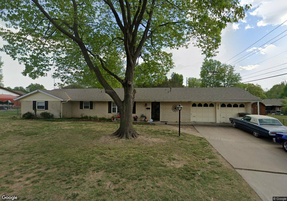
5017 Bridle Rd Bartlesville, OK 74006
Estimated Value: $68,000 - $217,000
3
Beds
3
Baths
1,615
Sq Ft
$77/Sq Ft
Est. Value
About This Home
This home is located at 5017 Bridle Rd, Bartlesville, OK 74006 and is currently estimated at $124,667, approximately $77 per square foot. 5017 Bridle Rd is a home located in Washington County with nearby schools including Ranch Heights Elementary School, Madison Middle School, and Bartlesville High School.
Ownership History
Date
Name
Owned For
Owner Type
Purchase Details
Closed on
Jan 2, 2025
Sold by
Blevins George
Bought by
William N Livingston And Esther M Livingston and Livingston
Current Estimated Value
Purchase Details
Closed on
Oct 7, 2008
Sold by
Huxley Carleen
Bought by
Enterprises B E
Purchase Details
Closed on
Dec 28, 2004
Sold by
Lawson Carl L Living Trust
Purchase Details
Closed on
Feb 11, 2003
Sold by
Lawson Carl L Living Trust
Purchase Details
Closed on
Apr 18, 1997
Sold by
Hinman Charles R and Hinman Constance
Create a Home Valuation Report for This Property
The Home Valuation Report is an in-depth analysis detailing your home's value as well as a comparison with similar homes in the area
Home Values in the Area
Average Home Value in this Area
Purchase History
| Date | Buyer | Sale Price | Title Company |
|---|---|---|---|
| William N Livingston And Esther M Livingston | -- | None Listed On Document | |
| William N Livingston And Esther M Livingston | -- | None Listed On Document | |
| Enterprises B E | $95,000 | None Available | |
| -- | -- | -- | |
| -- | $89,000 | -- | |
| -- | -- | -- |
Source: Public Records
Tax History Compared to Growth
Tax History
| Year | Tax Paid | Tax Assessment Tax Assessment Total Assessment is a certain percentage of the fair market value that is determined by local assessors to be the total taxable value of land and additions on the property. | Land | Improvement |
|---|---|---|---|---|
| 2025 | $1,704 | $14,617 | $1,800 | $12,817 |
| 2024 | $1,704 | $14,191 | $1,800 | $12,391 |
| 2023 | $1,704 | $13,516 | $1,800 | $11,716 |
| 2022 | $1,619 | $13,516 | $1,800 | $11,716 |
| 2021 | $1,587 | $13,516 | $1,800 | $11,716 |
| 2020 | $1,623 | $13,516 | $1,800 | $11,716 |
| 2019 | $1,605 | $13,362 | $1,800 | $11,562 |
| 2018 | $1,578 | $13,203 | $1,746 | $11,457 |
| 2017 | $1,538 | $12,573 | $1,531 | $11,042 |
| 2016 | $1,375 | $11,975 | $1,327 | $10,648 |
| 2015 | $1,325 | $11,405 | $1,133 | $10,272 |
| 2014 | $1,342 | $11,405 | $1,133 | $10,272 |
Source: Public Records
Map
Nearby Homes
- 1500 Harris Dr
- 1521 Lariat Dr
- 1435 Lariat Dr
- 1354 Harris Dr
- 1425 S Madison Blvd
- 5269 Nowata Rd Unit O102
- 5217 Nowata Rd Unit 203C
- 5217 Nowata Rd Unit C204
- 1412 Meadow Ln
- 5229 Nowata Rd Unit F101
- 5239 Nowata Rd Unit H102
- 1250 Macklyn Ln
- 1267 Guinn Ln
- 1222 Lariat Dr
- 1242 May Ln
- 1264 Guinn Ln
- 1258 Guinn Ln
- 1724 SE East Dr
- 1206 Saddle Ln
- 1401 SE Greystone Ave