5017 Pacific Grove Dr Las Vegas, NV 89130
North Cheyenne NeighborhoodEstimated Value: $420,000 - $507,000
3
Beds
2
Baths
2,007
Sq Ft
$232/Sq Ft
Est. Value
About This Home
This home is located at 5017 Pacific Grove Dr, Las Vegas, NV 89130 and is currently estimated at $465,337, approximately $231 per square foot. 5017 Pacific Grove Dr is a home located in Clark County with nearby schools including Ernest May Elementary School, Theron L Swainston Middle School, and Shadow Ridge High School.
Ownership History
Date
Name
Owned For
Owner Type
Purchase Details
Closed on
Feb 25, 2016
Sold by
Tessier Frederick and Tessier Madeleine
Bought by
The Maderick Trust
Current Estimated Value
Purchase Details
Closed on
Jul 27, 2012
Sold by
Anderson Donna and White Charles F
Bought by
Tessier Frederick and Tessier Madeleine
Purchase Details
Closed on
Sep 19, 2011
Sold by
White Charles F
Bought by
White Charles F and The Charles F White Sr Family Trust
Purchase Details
Closed on
Nov 1, 2000
Sold by
White Charles F and White Jeanne L
Bought by
White Charles F and White Jeanne L
Home Financials for this Owner
Home Financials are based on the most recent Mortgage that was taken out on this home.
Original Mortgage
$123,600
Interest Rate
5.99%
Purchase Details
Closed on
Oct 6, 1998
Sold by
White Charles F and White Jeanne L
Bought by
White Charles F and White Jeanne L
Create a Home Valuation Report for This Property
The Home Valuation Report is an in-depth analysis detailing your home's value as well as a comparison with similar homes in the area
Home Values in the Area
Average Home Value in this Area
Purchase History
| Date | Buyer | Sale Price | Title Company |
|---|---|---|---|
| The Maderick Trust | -- | None Available | |
| Tessier Frederick | $165,000 | First American Title Paseo | |
| White Charles F | -- | None Available | |
| White Charles F | -- | Nevada Title Company | |
| White Charles F | -- | -- |
Source: Public Records
Mortgage History
| Date | Status | Borrower | Loan Amount |
|---|---|---|---|
| Previous Owner | White Charles F | $123,600 |
Source: Public Records
Tax History Compared to Growth
Tax History
| Year | Tax Paid | Tax Assessment Tax Assessment Total Assessment is a certain percentage of the fair market value that is determined by local assessors to be the total taxable value of land and additions on the property. | Land | Improvement |
|---|---|---|---|---|
| 2025 | $1,924 | $96,463 | $37,100 | $59,363 |
| 2024 | $1,923 | $96,463 | $37,100 | $59,363 |
| 2023 | $1,923 | $94,095 | $36,750 | $57,345 |
| 2022 | $1,867 | $84,563 | $31,500 | $53,063 |
| 2021 | $1,813 | $75,872 | $24,850 | $51,022 |
| 2020 | $1,757 | $77,184 | $26,250 | $50,934 |
| 2019 | $1,706 | $73,554 | $23,100 | $50,454 |
| 2018 | $1,656 | $69,441 | $20,300 | $49,141 |
| 2017 | $2,313 | $70,551 | $20,300 | $50,251 |
| 2016 | $1,569 | $64,056 | $13,300 | $50,756 |
| 2015 | $1,565 | $50,816 | $10,500 | $40,316 |
| 2014 | $1,519 | $44,975 | $12,250 | $32,725 |
Source: Public Records
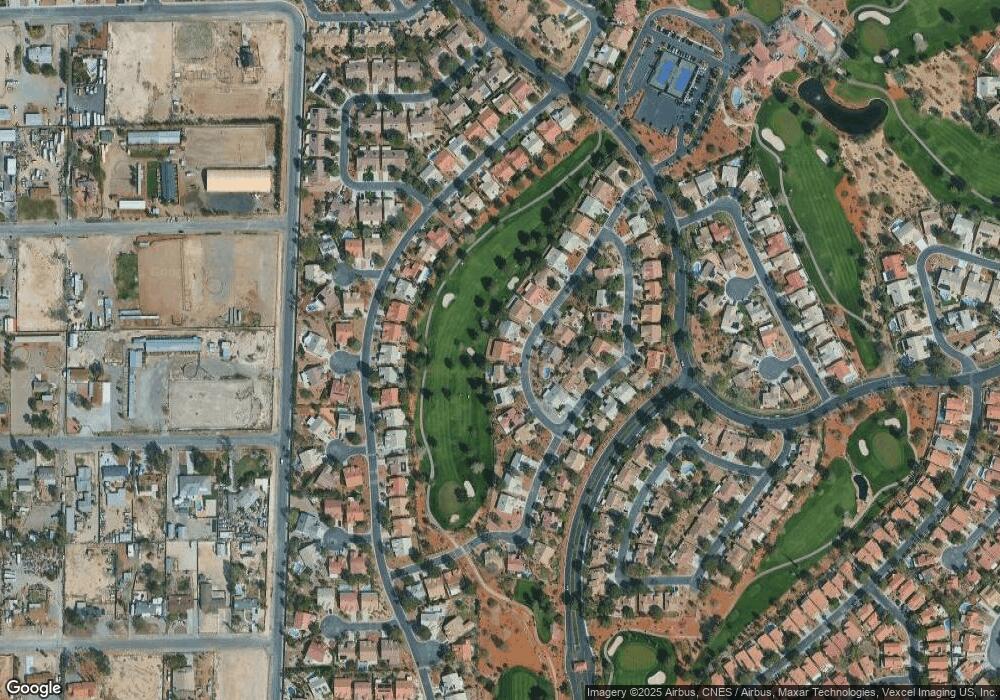
Map
Nearby Homes
- 5600 Segolilly Cir
- 5605 Bay Shore Cir
- 5404 Corkseed Ct
- 4816 Fiesta Lakes St
- 4817 Friar Ln
- 4808 Fiesta Lakes St
- 4801 Fiesta Lakes St
- 5236 Las Cruces Dr
- 4837 Maryvale Dr
- 5204 Rim View Ln
- 5213 Tamanar Dr
- 5213 Palm View Dr
- 4708 Royal Sunset Ct
- 4701 Royal Sunset Ct
- 5620 N Jones Blvd
- 4708 English Ivy Ct
- 5213 Red Glory Dr
- 5260 N Jones Blvd
- 5216 Desert Star Dr
- 5416 Sweet Shade St Unit 8
- 5013 Pacific Grove Dr
- 5021 Pacific Grove Dr
- 5025 Pacific Grove Dr
- 5009 Pacific Grove Dr Unit 1
- 5020 Pacific Grove Dr
- 5024 Pacific Grove Dr
- 5005 Pacific Grove Dr
- 5001 Rancho Bernardo Way
- 5005 Rancho Bernardo Way
- 5009 Rancho Bernardo Way
- 5009 Rancho Bernardo Way Unit HOME
- 5028 Pacific Grove Dr
- 5033 Pacific Grove Dr
- 5001 Pacific Grove Dr
- 5013 Rancho Bernardo Way
- 5105 Mandrake Ln
- 5101 Pacific Grove Dr
- 4937 Rancho Bernardo Way
- 5024 Linkside Dr
- 5016 Linkside Dr