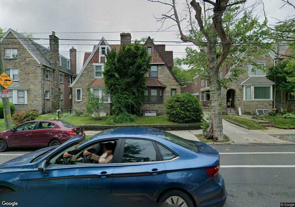
5018 Castor Ave Philadelphia, PA 19124
Lawncrest NeighborhoodEstimated Value: $255,000 - $287,135
4
Beds
1
Bath
1,752
Sq Ft
$158/Sq Ft
Est. Value
About This Home
This home is located at 5018 Castor Ave, Philadelphia, PA 19124 and is currently estimated at $276,534, approximately $157 per square foot. 5018 Castor Ave is a home located in Philadelphia County with nearby schools including Frankford High School, The Philadelphia Charter School for the Arts & Sciences, and Northwood Academy Charter School.
Ownership History
Date
Name
Owned For
Owner Type
Purchase Details
Closed on
Sep 26, 2001
Sold by
Cubbage George W and Cubbage Ruth D
Bought by
Mayo Leonard L and Mayo Lola M
Current Estimated Value
Home Financials for this Owner
Home Financials are based on the most recent Mortgage that was taken out on this home.
Original Mortgage
$80,000
Outstanding Balance
$30,710
Interest Rate
6.93%
Estimated Equity
$245,824
Create a Home Valuation Report for This Property
The Home Valuation Report is an in-depth analysis detailing your home's value as well as a comparison with similar homes in the area
Home Values in the Area
Average Home Value in this Area
Purchase History
| Date | Buyer | Sale Price | Title Company |
|---|---|---|---|
| Mayo Leonard L | $129,000 | -- |
Source: Public Records
Mortgage History
| Date | Status | Borrower | Loan Amount |
|---|---|---|---|
| Open | Mayo Leonard L | $80,000 |
Source: Public Records
Tax History Compared to Growth
Tax History
| Year | Tax Paid | Tax Assessment Tax Assessment Total Assessment is a certain percentage of the fair market value that is determined by local assessors to be the total taxable value of land and additions on the property. | Land | Improvement |
|---|---|---|---|---|
| 2026 | $3,322 | $281,000 | $56,200 | $224,800 |
| 2025 | $3,322 | $281,000 | $56,200 | $224,800 |
| 2024 | $3,322 | $281,000 | $56,200 | $224,800 |
| 2023 | $3,322 | $237,300 | $47,460 | $189,840 |
| 2022 | $2,692 | $192,300 | $47,460 | $144,840 |
| 2021 | $2,361 | $0 | $0 | $0 |
| 2020 | $2,361 | $0 | $0 | $0 |
| 2019 | $2,266 | $0 | $0 | $0 |
| 2018 | $2,244 | $0 | $0 | $0 |
| 2017 | $2,244 | $0 | $0 | $0 |
| 2016 | $1,824 | $0 | $0 | $0 |
| 2015 | -- | $0 | $0 | $0 |
| 2014 | -- | $160,300 | $48,388 | $111,912 |
| 2012 | -- | $24,416 | $3,820 | $20,596 |
Source: Public Records
Map
Nearby Homes
- 4046 E Roosevelt Blvd
- 5505 Loretto Ave
- 1048 Bridge St
- 1859 Harrison St
- 1052 Allengrove St
- 5640 Miriam Rd
- 926 Foulkrod St
- 5659 Miriam Rd
- 5661 Miriam Rd
- 1204 Pratt St
- 1137 Bridge St
- 894 Granite St
- 1208 Haworth St
- 934 Brill St
- 1218 Pratt St
- 1220 Pratt St
- 880 Granite St
- 1214 Haworth St
- 934 E Sanger St
- 991 Carver St
- 5020 Castor Ave
- 5016 Castor Ave
- 5022 Castor Ave
- 5014 Castor Ave
- 997 E Godfrey Ave
- 995 E Godfrey Ave
- 5114 Castor Ave
- 1001 Haworth St
- 1000 Dyre St
- 991 E Godfrey Ave
- 5116 Castor Ave
- 1003 Haworth St
- 957 Dyre St
- 5118 Castor Ave
- 996 E Godfrey Ave
- 5010 Castor Ave
- 994 E Godfrey Ave
- 992 E Godfrey Ave
- 998 E Godfrey Ave
- 988 E Godfrey Ave