5018 N State Highway 67 Sedalia, CO 80135
Estimated Value: $779,960 - $926,000
2
Beds
1
Bath
1,440
Sq Ft
$580/Sq Ft
Est. Value
About This Home
This home is located at 5018 N State Highway 67, Sedalia, CO 80135 and is currently estimated at $835,320, approximately $580 per square foot. 5018 N State Highway 67 is a home located in Douglas County with nearby schools including Sedalia Elementary School, Castle Rock Middle School, and Castle View High School.
Ownership History
Date
Name
Owned For
Owner Type
Purchase Details
Closed on
Jun 24, 1991
Sold by
Carlson William John Eric and Carlson Janis Dawn
Bought by
Devers Lawrence A and Devers Louise
Current Estimated Value
Purchase Details
Closed on
Sep 23, 1988
Sold by
Millar John C and Millar Kathy
Bought by
Carlson William John Eric and Carlson Janis Dawn
Purchase Details
Closed on
Apr 22, 1970
Sold by
Hier William M and Hier Grace Jane
Bought by
Miller John C and Miller Kathy
Create a Home Valuation Report for This Property
The Home Valuation Report is an in-depth analysis detailing your home's value as well as a comparison with similar homes in the area
Home Values in the Area
Average Home Value in this Area
Purchase History
| Date | Buyer | Sale Price | Title Company |
|---|---|---|---|
| Devers Lawrence A | $96,000 | -- | |
| Carlson William John Eric | $74,000 | -- | |
| Miller John C | $5,500 | -- |
Source: Public Records
Tax History Compared to Growth
Tax History
| Year | Tax Paid | Tax Assessment Tax Assessment Total Assessment is a certain percentage of the fair market value that is determined by local assessors to be the total taxable value of land and additions on the property. | Land | Improvement |
|---|---|---|---|---|
| 2024 | $3,549 | $53,610 | $28,940 | $24,670 |
| 2023 | $4,148 | $53,610 | $28,940 | $24,670 |
| 2022 | $3,044 | $38,430 | $21,290 | $17,140 |
| 2021 | $3,171 | $38,430 | $21,290 | $17,140 |
| 2020 | $2,736 | $33,930 | $16,330 | $17,600 |
| 2019 | $2,748 | $33,930 | $16,330 | $17,600 |
| 2018 | $2,278 | $27,990 | $12,880 | $15,110 |
| 2017 | $2,105 | $27,990 | $12,880 | $15,110 |
| 2016 | $2,014 | $26,220 | $13,930 | $12,290 |
| 2015 | $1,032 | $26,220 | $13,930 | $12,290 |
| 2014 | $1,767 | $20,880 | $9,950 | $10,930 |
Source: Public Records
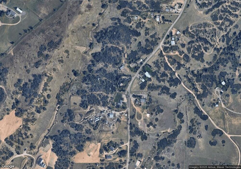
Map
Nearby Homes
- 3120 Bears Den Dr
- 3013 Bears Den Dr
- 3330 Tweet Place
- 2367 Keep Dr
- 3248 Tweet Place Unit Parcel 9
- 6751 Cherokee Dr
- 4279 Sanctuary Way
- 2810 Bartizan Ln Unit 19
- 3878 Turret Ln Unit 37
- 2814 Charlford Ln
- 5740 Lambert Ranch Trail
- 2301 Keep Dr Unit 46
- 2327 Keep Dr
- 2360 Charlford Ln Unit 60
- 6555 Meadowbrook Ln
- 7037 W Meadowbrook Ln
- 810 N Perry Park Rd
- 4985 Bear Paw Dr
- 3091 Craig Ct
- 7225 Box Canyon Rd
- 5020 N State Highway 67
- 5032 N State Highway 67
- 5022 N State Highway 67
- 5023 N State Highway 67
- 5024 N State Highway 67
- 5004 N State Highway 67
- 5012 N State Highway 67
- 5028 N State Highway 67
- 5028 N State Highway 67
- 5010 N State Highway 67
- 5026 N State Highway 67
- 5014 N State Highway 67
- 5036 N State Highway 67
- 5003 N State Highway 67
- 4702 N State Highway 67
- 4804 N State Highway 67
- 4804 N State Highway 67
- 5042 N State Highway 67
- 5038 N State Highway 67
- 5016 N State Highway 67