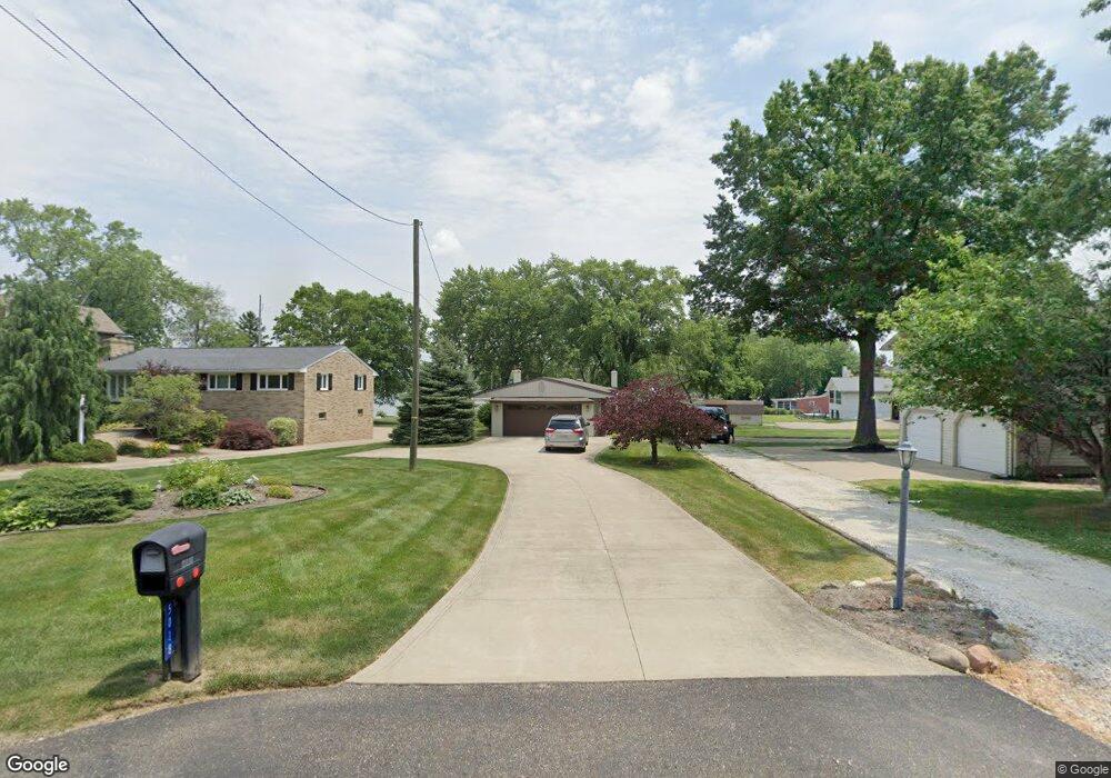
5018 West Blvd NW Canton, OH 44718
Lake Cable NeighborhoodEstimated Value: $342,000 - $589,000
2
Beds
2
Baths
1,411
Sq Ft
$315/Sq Ft
Est. Value
About This Home
This home is located at 5018 West Blvd NW, Canton, OH 44718 and is currently estimated at $444,197, approximately $314 per square foot. 5018 West Blvd NW is a home located in Stark County with nearby schools including Lake Cable Elementary School, Jackson Memorial Middle School, and Jackson High School.
Ownership History
Date
Name
Owned For
Owner Type
Purchase Details
Closed on
Apr 17, 2019
Sold by
The Douglas W Ruble Revocable Trust
Bought by
The Joann R Ruble Revocable Trust
Current Estimated Value
Purchase Details
Closed on
Aug 15, 2005
Sold by
Ruble Douglas W and Ruble Joann R
Bought by
Ruble Joanne R
Purchase Details
Closed on
Sep 30, 1996
Sold by
Whiting Donald E
Bought by
Ruble Douglas W and Ruble Joann
Create a Home Valuation Report for This Property
The Home Valuation Report is an in-depth analysis detailing your home's value as well as a comparison with similar homes in the area
Home Values in the Area
Average Home Value in this Area
Purchase History
| Date | Buyer | Sale Price | Title Company |
|---|---|---|---|
| The Joann R Ruble Revocable Trust | -- | None Available | |
| Ruble Joanne R | -- | -- | |
| Ruble Douglas W | -- | -- | |
| Ruble Douglas W | $207,500 | -- |
Source: Public Records
Tax History Compared to Growth
Tax History
| Year | Tax Paid | Tax Assessment Tax Assessment Total Assessment is a certain percentage of the fair market value that is determined by local assessors to be the total taxable value of land and additions on the property. | Land | Improvement |
|---|---|---|---|---|
| 2025 | -- | $153,060 | $88,970 | $64,090 |
| 2024 | -- | $153,060 | $88,970 | $64,090 |
| 2023 | $5,749 | $124,710 | $79,100 | $45,610 |
| 2022 | $700 | $124,710 | $79,100 | $45,610 |
| 2021 | $5,763 | $124,710 | $79,100 | $45,610 |
| 2020 | $5,347 | $107,630 | $68,220 | $39,410 |
| 2019 | $5,150 | $107,630 | $68,220 | $39,410 |
| 2018 | $5,176 | $107,630 | $68,220 | $39,410 |
| 2017 | $4,721 | $94,540 | $56,950 | $37,590 |
| 2016 | $4,752 | $94,540 | $56,950 | $37,590 |
| 2015 | $4,810 | $94,540 | $56,950 | $37,590 |
| 2014 | $402 | $83,830 | $50,470 | $33,360 |
| 2013 | $2,166 | $83,830 | $50,470 | $33,360 |
Source: Public Records
Map
Nearby Homes
- 5011 West Blvd NW
- 5055 West Blvd NW
- 5155 Fleetwood Ave NW
- 5433 Fleetwood Ave NW
- 0 Hollyhock Ave NW
- 4710 Brunnerdale Ave NW
- 5309 S Island Dr NW
- 5550 West Blvd NW
- 6422 Pebble Beach Dr NW
- 0 Stoneywood Cir NW Unit 5051952
- 0 Armandale Ave NW Unit 5052422
- 0 Armandale Ave NW Unit 5052421
- 0 Armandale Ave NW Unit 5051954
- 6422 Stoneywood Cir NW
- 5957 Century St NW
- 6446 Tallwood Cir NW
- 5691 Governors Ave NW
- 5636 Gray Fox Dr NW
- 5555 Stuber Dr NW
- 5412 Downingsgate Cir NW
- 5022 West Blvd NW
- 5030 West Blvd NW
- 5014 West Blvd NW
- 5847 Fulton Dr NW
- 5839 Fulton Dr NW
- 5036 West Blvd NW
- 5833 Fulton Dr NW
- 5908 W Shore Dr NW
- 5913 Fulton Dr NW
- 5825 Fulton Dr NW
- 5021 West Blvd NW
- 5029 West Blvd NW
- 5035 West Blvd NW
- 5821 Fulton Dr NW
- 5905 W Shore Dr NW
- 5911 W Shore Dr NW
- 5927 Fulton Dr NW
- 5043 West Blvd NW
- 5815 Fulton Dr NW
- 5943 Fulton Dr NW