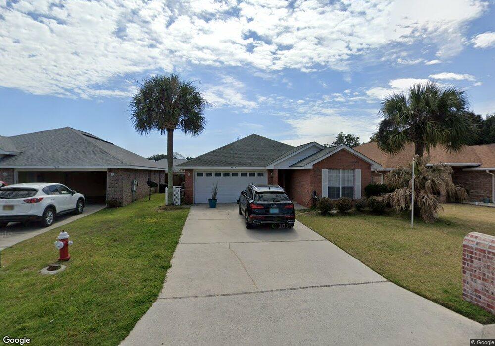
5019 Cocoa Dr Pensacola, FL 32526
Estimated Value: $252,081 - $285,000
--
Bed
2
Baths
1,651
Sq Ft
$164/Sq Ft
Est. Value
About This Home
This home is located at 5019 Cocoa Dr, Pensacola, FL 32526 and is currently estimated at $270,020, approximately $163 per square foot. 5019 Cocoa Dr is a home located in Escambia County with nearby schools including Bellview Elementary School, Bellview Middle School, and Pine Forest High School.
Ownership History
Date
Name
Owned For
Owner Type
Purchase Details
Closed on
Jan 29, 2008
Sold by
Adams Homes Of Northwest Florida Inc
Bought by
Fernandez Kristian R and Rodriguez Maite
Current Estimated Value
Home Financials for this Owner
Home Financials are based on the most recent Mortgage that was taken out on this home.
Original Mortgage
$155,230
Outstanding Balance
$98,222
Interest Rate
6.12%
Mortgage Type
Purchase Money Mortgage
Estimated Equity
$171,798
Create a Home Valuation Report for This Property
The Home Valuation Report is an in-depth analysis detailing your home's value as well as a comparison with similar homes in the area
Home Values in the Area
Average Home Value in this Area
Purchase History
| Date | Buyer | Sale Price | Title Company |
|---|---|---|---|
| Fernandez Kristian R | $163,400 | None Available |
Source: Public Records
Mortgage History
| Date | Status | Borrower | Loan Amount |
|---|---|---|---|
| Open | Fernandez Kristian R | $155,230 |
Source: Public Records
Tax History Compared to Growth
Tax History
| Year | Tax Paid | Tax Assessment Tax Assessment Total Assessment is a certain percentage of the fair market value that is determined by local assessors to be the total taxable value of land and additions on the property. | Land | Improvement |
|---|---|---|---|---|
| 2024 | $1,447 | $137,601 | -- | -- |
| 2023 | $1,447 | $133,594 | $0 | $0 |
| 2022 | $1,408 | $129,703 | $0 | $0 |
| 2021 | $1,395 | $125,926 | $0 | $0 |
| 2020 | $1,361 | $124,188 | $0 | $0 |
| 2019 | $1,331 | $121,396 | $0 | $0 |
| 2018 | $1,322 | $119,133 | $0 | $0 |
| 2017 | $1,314 | $116,683 | $0 | $0 |
| 2016 | $1,295 | $114,284 | $0 | $0 |
| 2015 | $1,278 | $113,490 | $0 | $0 |
| 2014 | $1,262 | $112,590 | $0 | $0 |
Source: Public Records
Map
Nearby Homes
- 6437 Sarasota St
- 5127 Cocoa Dr
- 321 Loveland Cir
- 4032 Glenway Dr
- 3076 Flintlock Dr
- 3086 Flintlock Dr
- 1039 Brownfield Rd
- 5196 Zachary Blvd
- 5130 Bankhead Dr
- 6265 N Blue Angel Pkwy
- 5205 Bankhead Dr
- 5920 Pawnee Dr
- 5314 Othell Way
- 6368 Footprint Dr
- 6032 Brylex Ln Unit 18A
- 915 Sammy Way
- 6290 Footprint Dr
- 3280 Wasatch Range Loop
- 7085 Mobile Hwy
- 7332 Tannehill Dr
- 5025 Cocoa Dr
- 5031 Cocoa Dr
- 5016 Port St Joe St
- 5010 Port St Joe St
- 5021 Port St Joe St
- 5037 Cocoa Dr
- 5007 Cocoa Dr
- 5022 Port St Joe St
- 338218 Tampa Dr
- 6500 Tampa Dr
- 5043 Cocoa Dr
- 5028 Port St Joe St
- 5001 Cocoa Dr
- 6506 Tampa Dr
- 0 Sarasota St
- 5049 Cocoa Dr
- 6486 Sarasota St
- 5034 Port St Joe St
- 6512 Tampa Dr
- 0 Cocoa Dr