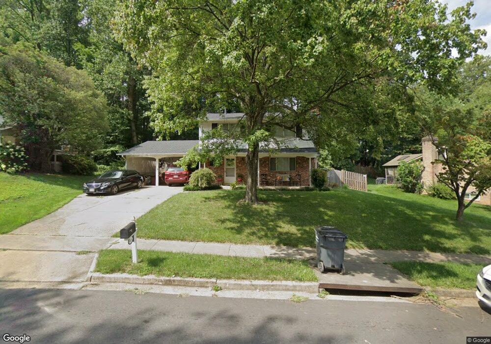
5019 Swinton Dr Fairfax, VA 22032
Estimated Value: $808,210 - $872,000
4
Beds
3
Baths
1,590
Sq Ft
$527/Sq Ft
Est. Value
About This Home
This home is located at 5019 Swinton Dr, Fairfax, VA 22032 and is currently estimated at $837,803, approximately $526 per square foot. 5019 Swinton Dr is a home located in Fairfax County with nearby schools including Laurel Ridge Elementary School, James W Robinson, Jr. Secondary School, and St Anthony Academy.
Ownership History
Date
Name
Owned For
Owner Type
Purchase Details
Closed on
May 23, 2005
Sold by
Blalock Ronald Charles
Bought by
Khan Moin A
Current Estimated Value
Home Financials for this Owner
Home Financials are based on the most recent Mortgage that was taken out on this home.
Original Mortgage
$424,000
Outstanding Balance
$222,637
Interest Rate
5.95%
Mortgage Type
New Conventional
Estimated Equity
$615,166
Create a Home Valuation Report for This Property
The Home Valuation Report is an in-depth analysis detailing your home's value as well as a comparison with similar homes in the area
Home Values in the Area
Average Home Value in this Area
Purchase History
| Date | Buyer | Sale Price | Title Company |
|---|---|---|---|
| Khan Moin A | $530,000 | -- |
Source: Public Records
Mortgage History
| Date | Status | Borrower | Loan Amount |
|---|---|---|---|
| Open | Khan Moin A | $424,000 |
Source: Public Records
Tax History Compared to Growth
Tax History
| Year | Tax Paid | Tax Assessment Tax Assessment Total Assessment is a certain percentage of the fair market value that is determined by local assessors to be the total taxable value of land and additions on the property. | Land | Improvement |
|---|---|---|---|---|
| 2025 | $8,173 | $769,270 | $287,000 | $482,270 |
| 2024 | $8,173 | $705,450 | $282,000 | $423,450 |
| 2023 | $7,857 | $696,240 | $282,000 | $414,240 |
| 2022 | $7,251 | $634,100 | $257,000 | $377,100 |
| 2021 | $7,013 | $597,620 | $237,000 | $360,620 |
| 2020 | $6,665 | $563,120 | $222,000 | $341,120 |
| 2019 | $6,454 | $545,370 | $217,000 | $328,370 |
| 2018 | $6,128 | $532,860 | $217,000 | $315,860 |
| 2017 | $5,964 | $513,660 | $207,000 | $306,660 |
| 2016 | $5,670 | $489,460 | $192,000 | $297,460 |
| 2015 | $5,462 | $489,460 | $192,000 | $297,460 |
| 2014 | $5,306 | $476,510 | $182,000 | $294,510 |
Source: Public Records
Map
Nearby Homes
- 10017 Whitefield St
- 9755 Abington Ct
- 4773 Farndon Ct
- 9896 Becket Ct
- 4768 Farndon Ct
- 5207 Stonington Dr
- 9883 Becket Ct
- 5207 Mornington Ct
- 10212 Provincetown Ct
- 5006 Lone Oak Place
- 10476 Malone Ct
- 10116 Dundalk St
- 10462 Malone Ct
- 10255 Braddock Rd
- 10444 Malone Ct
- 10271 Braddock Rd
- 10134 Red Spruce Rd
- 10425 Carriagepark Ct
- 9717 Commonwealth Blvd
- 5313 Stonington Dr
- 5017 Swinton Dr
- 5021 Swinton Dr
- 4902 Wycliff Ln
- 10179 Wavell Rd
- 10177 Wavell Rd
- 5015 Swinton Dr
- 4906 Wycliff Ln
- 5016 Swinton Dr
- 10175 Wavell Rd
- 10183 Wavell Rd
- 5013 Swinton Dr
- 4900 Wycliff Ln
- 4908 Wycliff Ln
- 5012 Swinton Dr
- 5023 Swinton Dr
- 10187 Wavell Rd
- 10173 Wavell Rd
- 4905 Wycliff Ln
- 4901 Wycliff Ln
- 10176 Wavell Rd