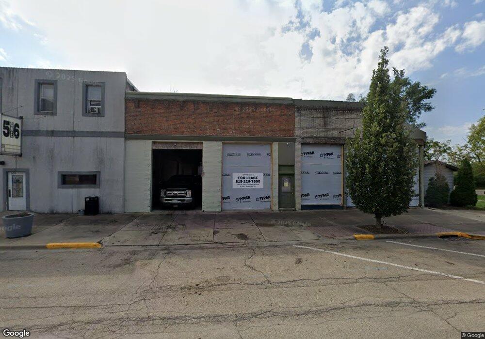
502 1st St La Salle, IL 61301
Estimated Value: $64,204
--
Bed
--
Bath
4,740
Sq Ft
$14/Sq Ft
Est. Value
About This Home
This home is located at 502 1st St, La Salle, IL 61301 and is currently priced at $64,204, approximately $13 per square foot. 502 1st St is a home located in LaSalle County with nearby schools including Northwest Elementary School, Lincoln Junior High School, and Trinity Catholic Academy.
Ownership History
Date
Name
Owned For
Owner Type
Purchase Details
Closed on
Aug 15, 2023
Sold by
Pey Gregory H
Bought by
M Bird Estates Llc
Current Estimated Value
Home Financials for this Owner
Home Financials are based on the most recent Mortgage that was taken out on this home.
Original Mortgage
$240,000
Outstanding Balance
$236,039
Interest Rate
8.5%
Mortgage Type
Commercial
Purchase Details
Closed on
Sep 15, 2015
Sold by
Prystash William D
Bought by
Prey Gregory H
Purchase Details
Closed on
Jul 16, 2015
Sold by
Prystash William Dan
Bought by
Prystash William D
Create a Home Valuation Report for This Property
The Home Valuation Report is an in-depth analysis detailing your home's value as well as a comparison with similar homes in the area
Home Values in the Area
Average Home Value in this Area
Purchase History
| Date | Buyer | Sale Price | Title Company |
|---|---|---|---|
| M Bird Estates Llc | $1,000 | None Available | |
| Prey Gregory H | $40,000 | -- | |
| Prystash William D | -- | -- |
Source: Public Records
Mortgage History
| Date | Status | Borrower | Loan Amount |
|---|---|---|---|
| Open | M Bird Estates Llc | $240,000 |
Source: Public Records
Tax History Compared to Growth
Tax History
| Year | Tax Paid | Tax Assessment Tax Assessment Total Assessment is a certain percentage of the fair market value that is determined by local assessors to be the total taxable value of land and additions on the property. | Land | Improvement |
|---|---|---|---|---|
| 2024 | $1,405 | $13,951 | $11,621 | $2,330 |
| 2023 | $1,426 | $13,951 | $11,621 | $2,330 |
| 2022 | $1,366 | $13,161 | $10,963 | $2,198 |
| 2021 | $1,408 | $13,161 | $10,963 | $2,198 |
| 2020 | $1,417 | $13,161 | $10,963 | $2,198 |
| 2019 | $1,425 | $13,161 | $10,963 | $2,198 |
| 2018 | $1,432 | $13,161 | $10,963 | $2,198 |
| 2017 | $1,373 | $13,161 | $10,963 | $2,198 |
| 2016 | $1,379 | $13,161 | $10,963 | $2,198 |
| 2015 | $1,313 | $13,161 | $10,963 | $2,198 |
| 2012 | -- | $13,161 | $10,963 | $2,198 |
Source: Public Records
Map
Nearby Homes