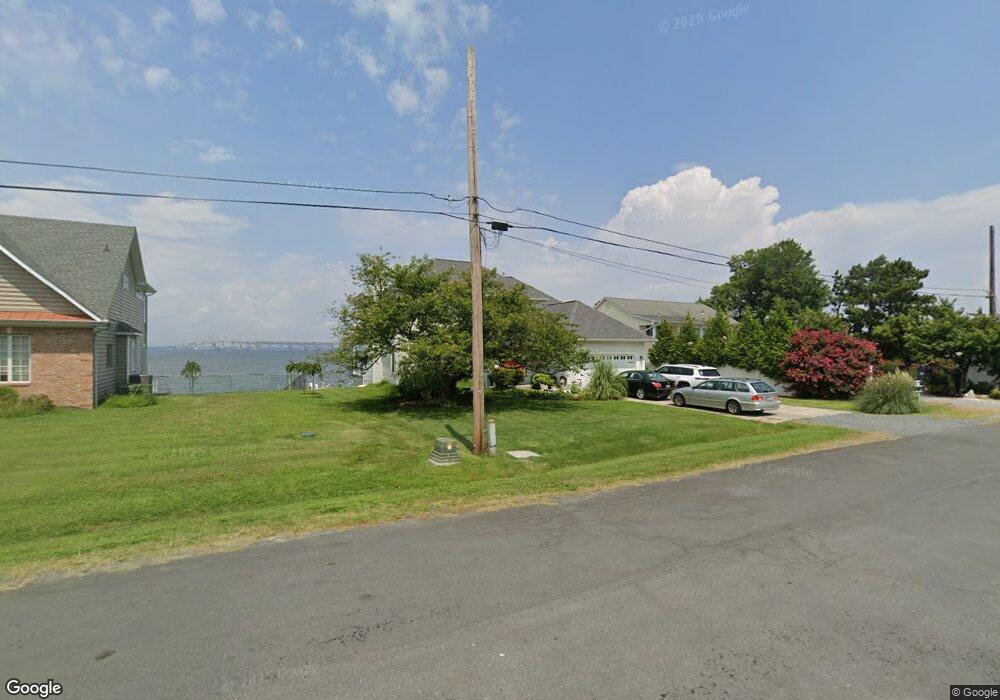
502 Bayside Dr Stevensville, MD 21666
Estimated Value: $1,272,190 - $1,812,000
--
Bed
3
Baths
3,012
Sq Ft
$497/Sq Ft
Est. Value
About This Home
This home is located at 502 Bayside Dr, Stevensville, MD 21666 and is currently estimated at $1,496,298, approximately $496 per square foot. 502 Bayside Dr is a home located in Queen Anne's County with nearby schools including Matapeake Elementary School, Matapeake Middle School, and Kent Island High School.
Ownership History
Date
Name
Owned For
Owner Type
Purchase Details
Closed on
May 18, 2016
Sold by
Higgins James and Masengale Debra L
Bought by
Brown Richard W and Brown Dian L
Current Estimated Value
Home Financials for this Owner
Home Financials are based on the most recent Mortgage that was taken out on this home.
Original Mortgage
$680,000
Interest Rate
3.59%
Mortgage Type
Commercial
Purchase Details
Closed on
Sep 23, 2004
Sold by
King Connie S
Bought by
Higgins James
Purchase Details
Closed on
Dec 19, 2000
Sold by
Juchno Edwin A
Bought by
King Connie S
Create a Home Valuation Report for This Property
The Home Valuation Report is an in-depth analysis detailing your home's value as well as a comparison with similar homes in the area
Home Values in the Area
Average Home Value in this Area
Purchase History
| Date | Buyer | Sale Price | Title Company |
|---|---|---|---|
| Brown Richard W | $980,000 | Passport Title Services Llc | |
| Higgins James | $1,160,000 | -- | |
| King Connie S | $269,900 | -- |
Source: Public Records
Mortgage History
| Date | Status | Borrower | Loan Amount |
|---|---|---|---|
| Closed | Brown Richard W | $680,000 | |
| Closed | Higgins James | -- |
Source: Public Records
Tax History Compared to Growth
Tax History
| Year | Tax Paid | Tax Assessment Tax Assessment Total Assessment is a certain percentage of the fair market value that is determined by local assessors to be the total taxable value of land and additions on the property. | Land | Improvement |
|---|---|---|---|---|
| 2025 | $8,979 | $953,133 | $0 | $0 |
| 2024 | $8,499 | $902,267 | $0 | $0 |
| 2023 | $8,020 | $851,400 | $455,000 | $396,400 |
| 2022 | $8,020 | $851,400 | $455,000 | $396,400 |
| 2021 | $8,513 | $851,400 | $455,000 | $396,400 |
| 2020 | $8,513 | $887,600 | $430,000 | $457,600 |
| 2019 | $8,353 | $870,967 | $0 | $0 |
| 2018 | $8,194 | $854,333 | $0 | $0 |
| 2017 | $8,034 | $837,700 | $0 | $0 |
| 2016 | -- | $837,700 | $0 | $0 |
| 2015 | $7,726 | $837,700 | $0 | $0 |
| 2014 | $7,726 | $967,600 | $0 | $0 |
Source: Public Records
Map
Nearby Homes
- 802 Broadcreek Dr
- 312 William Way
- 306 Irene Way
- 412 Bay City Rd
- 418 Bay City Rd
- 526 Victoria Dr
- 410 Stafford Rd
- 103 Irene Way
- 0 Sunset Wharf Lot D-3 Unit MDQA2010280
- 0 Sunset Wharf Lot D-1 Unit MDQA2010276
- 298 Moorings Cir
- 914 Chesapeake Dr
- 1000 Chesapeake Dr
- 312 Topside Dr Unit 223
- 858 Moorings Cir Unit 11
- 349 Topside Dr
- 119 Keenan Way
- 111 Keenan Way
- 736 Moorings Cir Unit 35
- 241 Jessica Lyn Ave
- 500 Bayside Dr
- 506 Bayside Dr
- 501 Bayside Dr
- 900 Broadcreek Dr
- 503 Bayside Dr
- 806 Broadcreek Dr
- 514 Bayside Dr
- 505 Bayside Dr
- 804 Broadcreek Dr
- 704 Broadcreek Dr
- 507 Bayside Dr
- 801 Broadcreek Dr
- 518 Bayside Dr
- 509 Bayside Dr
- 504 Zaidee Ln
- 800 Broadcreek Dr
- 511 Bayside Dr
- 506 Zaidee Ln
- 710 Broadcreek Dr
- 513 Bayside Dr