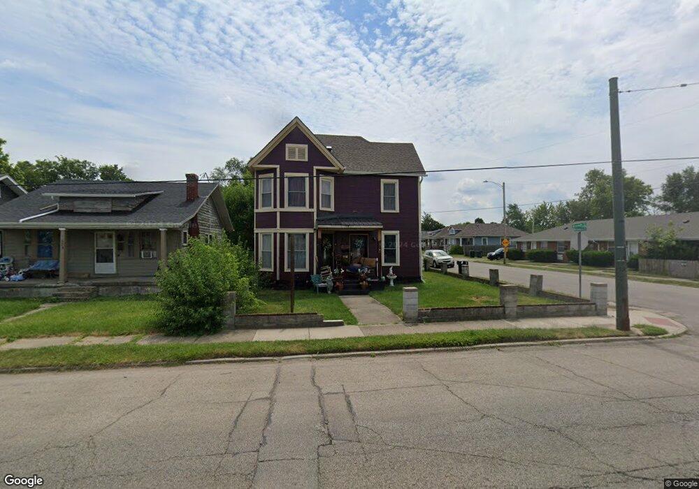
502 Brandt St Dayton, OH 45404
Old North Dayton NeighborhoodEstimated Value: $124,391 - $216,000
3
Beds
1
Bath
1,736
Sq Ft
$88/Sq Ft
Est. Value
About This Home
This home is located at 502 Brandt St, Dayton, OH 45404 and is currently estimated at $153,348, approximately $88 per square foot. 502 Brandt St is a home located in Montgomery County with nearby schools including Kiser Elementary, Ruskin Elementary School, and Pathway School of Discovery.
Ownership History
Date
Name
Owned For
Owner Type
Purchase Details
Closed on
Jul 23, 2003
Sold by
Household Realty Corp
Bought by
Maldonado Douglas M and Maldonado Martie L
Current Estimated Value
Home Financials for this Owner
Home Financials are based on the most recent Mortgage that was taken out on this home.
Original Mortgage
$41,715
Interest Rate
4.69%
Mortgage Type
Purchase Money Mortgage
Purchase Details
Closed on
Nov 7, 2002
Sold by
Woodworth Michael A
Bought by
Mortgage Electronic Registration Systems and Household Realty Corp
Purchase Details
Closed on
Oct 17, 2002
Sold by
Woodworth Michael A
Bought by
Household Realty Corp
Purchase Details
Closed on
Jun 30, 2000
Sold by
Feruccio Bier
Bought by
Woodworth Michael A
Home Financials for this Owner
Home Financials are based on the most recent Mortgage that was taken out on this home.
Original Mortgage
$77,500
Interest Rate
8.64%
Create a Home Valuation Report for This Property
The Home Valuation Report is an in-depth analysis detailing your home's value as well as a comparison with similar homes in the area
Home Values in the Area
Average Home Value in this Area
Purchase History
| Date | Buyer | Sale Price | Title Company |
|---|---|---|---|
| Maldonado Douglas M | $46,400 | -- | |
| Mortgage Electronic Registration Systems | $42,000 | -- | |
| Household Realty Corp | $42,000 | -- | |
| Woodworth Michael A | $77,500 | -- |
Source: Public Records
Mortgage History
| Date | Status | Borrower | Loan Amount |
|---|---|---|---|
| Closed | Maldonado Douglas M | $41,715 | |
| Previous Owner | Woodworth Michael A | $77,500 |
Source: Public Records
Tax History Compared to Growth
Tax History
| Year | Tax Paid | Tax Assessment Tax Assessment Total Assessment is a certain percentage of the fair market value that is determined by local assessors to be the total taxable value of land and additions on the property. | Land | Improvement |
|---|---|---|---|---|
| 2024 | $1,059 | $18,680 | $3,370 | $15,310 |
| 2023 | $1,059 | $18,680 | $3,370 | $15,310 |
| 2022 | $1,165 | $15,920 | $2,880 | $13,040 |
| 2021 | $1,157 | $15,900 | $2,880 | $13,020 |
| 2020 | $1,156 | $15,900 | $2,880 | $13,020 |
| 2019 | $1,019 | $12,570 | $2,420 | $10,150 |
| 2018 | $1,021 | $12,570 | $2,420 | $10,150 |
| 2017 | $1,013 | $12,570 | $2,420 | $10,150 |
| 2016 | $996 | $11,740 | $2,310 | $9,430 |
| 2015 | $942 | $11,740 | $2,310 | $9,430 |
| 2014 | $942 | $11,740 | $2,310 | $9,430 |
| 2012 | -- | $14,250 | $4,910 | $9,340 |
Source: Public Records
Map
Nearby Homes
- 544 Brandt St
- 1304 Valley St
- 1083 Valley St
- 1020 Saint Adelbert Ave
- 175 Rita St
- 304 Alaska St
- 129 Rita St
- 240 Alaska St
- 233 Alton Ave
- 188 Alton Ave
- 1815 Warner Ave
- 111 Alaska St
- 159 Alton Ave Unit 157
- 144 Alton Ave
- 70 Baltimore St
- 260 Grove Ave
- 96 Notre Dame Ave
- 329 Grove Ave
- 82 Notre Dame Ave
- 36 Baltimore St