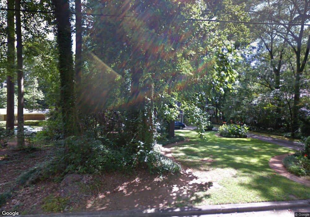
502 Brook Cir Griffin, GA 30224
Spalding County NeighborhoodEstimated Value: $346,000 - $424,000
5
Beds
3
Baths
2,464
Sq Ft
$150/Sq Ft
Est. Value
About This Home
This home is located at 502 Brook Cir, Griffin, GA 30224 and is currently estimated at $368,910, approximately $149 per square foot. 502 Brook Cir is a home located in Spalding County with nearby schools including Futral Road Elementary School, Rehoboth Road Middle School, and Spalding High School.
Ownership History
Date
Name
Owned For
Owner Type
Purchase Details
Closed on
Dec 11, 1991
Sold by
Hamilton Thomas G and Hamilton Judith K
Bought by
Hamilton Judith K
Current Estimated Value
Purchase Details
Closed on
Jun 12, 1980
Sold by
Caswell Ii Robert John and Caswell Sally S
Bought by
Hamilton Thomas G and Hamilton Judith K
Purchase Details
Closed on
Jun 18, 1973
Sold by
Rice Robert L and Rice Artz
Bought by
Caswell Ii Robert John and Caswell Sally S
Purchase Details
Closed on
Jun 1, 1968
Sold by
Cheatham John H
Bought by
Rice Robert L and Rice Artz
Purchase Details
Closed on
Oct 13, 1964
Sold by
Barnes S Grantland
Bought by
Cheatham John H
Create a Home Valuation Report for This Property
The Home Valuation Report is an in-depth analysis detailing your home's value as well as a comparison with similar homes in the area
Home Values in the Area
Average Home Value in this Area
Purchase History
| Date | Buyer | Sale Price | Title Company |
|---|---|---|---|
| Hamilton Judith K | -- | -- | |
| Hamilton Thomas G | $52,900 | -- | |
| Caswell Ii Robert John | $55,000 | -- | |
| Rice Robert L | $34,000 | -- | |
| Cheatham John H | $3,900 | -- |
Source: Public Records
Tax History Compared to Growth
Tax History
| Year | Tax Paid | Tax Assessment Tax Assessment Total Assessment is a certain percentage of the fair market value that is determined by local assessors to be the total taxable value of land and additions on the property. | Land | Improvement |
|---|---|---|---|---|
| 2024 | $2,871 | $108,442 | $20,000 | $88,442 |
| 2023 | $2,871 | $108,442 | $20,000 | $88,442 |
| 2022 | $2,845 | $99,271 | $20,000 | $79,271 |
| 2021 | $2,582 | $87,935 | $20,000 | $67,935 |
| 2020 | $2,582 | $87,935 | $20,000 | $67,935 |
| 2019 | $2,181 | $68,997 | $20,000 | $48,997 |
| 2018 | $2,358 | $65,876 | $20,000 | $45,876 |
| 2017 | $2,297 | $65,876 | $20,000 | $45,876 |
| 2016 | $2,333 | $65,876 | $20,000 | $45,876 |
| 2015 | $2,371 | $65,876 | $20,000 | $45,876 |
| 2014 | $2,436 | $65,876 | $20,000 | $45,876 |
Source: Public Records
Map
Nearby Homes
- 18 Terracedale Ct
- 304 Tilney Ave
- 40 Terrace St
- 406 E Solomon St
- 303 E Broadway St
- 505 Kincaid Ave
- 108 Jackson Ln
- 203 N 1st St
- 821 Bel Air Cir
- 524 Kincaid Ave
- 523 S 6th St
- 234 N 2nd St
- 541 S 6th St
- 831 Bel Air Cir
- 818 Hillcrest Ave
- 715 E Chappell St
- 706 Maple Dr
- 714 Maple Dr
- 911 Clayton St
- 550 S Hill St