502 Chickentown Rd Somerset, PA 15501
Estimated Value: $211,528 - $372,000
3
Beds
2
Baths
1,550
Sq Ft
$168/Sq Ft
Est. Value
About This Home
This home is located at 502 Chickentown Rd, Somerset, PA 15501 and is currently estimated at $259,882, approximately $167 per square foot. 502 Chickentown Rd is a home with nearby schools including Maple Ridge Elementary School, Eagle View Elementary School, and Somerset Area Junior/Senior High School.
Ownership History
Date
Name
Owned For
Owner Type
Purchase Details
Closed on
Nov 1, 2019
Sold by
Marker Ricky D and Marker Erika J
Bought by
Minnick Alex Thomas
Current Estimated Value
Home Financials for this Owner
Home Financials are based on the most recent Mortgage that was taken out on this home.
Original Mortgage
$140,000
Outstanding Balance
$123,164
Interest Rate
3.6%
Mortgage Type
New Conventional
Estimated Equity
$136,718
Purchase Details
Closed on
Apr 21, 2005
Sold by
Estnick Mamie M
Bought by
Marker Ricky D and Marker Erika J
Create a Home Valuation Report for This Property
The Home Valuation Report is an in-depth analysis detailing your home's value as well as a comparison with similar homes in the area
Home Values in the Area
Average Home Value in this Area
Purchase History
| Date | Buyer | Sale Price | Title Company |
|---|---|---|---|
| Minnick Alex Thomas | $175,000 | Chicago Title Insurance Co | |
| Marker Ricky D | -- | None Available |
Source: Public Records
Mortgage History
| Date | Status | Borrower | Loan Amount |
|---|---|---|---|
| Open | Minnick Alex Thomas | $140,000 |
Source: Public Records
Tax History Compared to Growth
Tax History
| Year | Tax Paid | Tax Assessment Tax Assessment Total Assessment is a certain percentage of the fair market value that is determined by local assessors to be the total taxable value of land and additions on the property. | Land | Improvement |
|---|---|---|---|---|
| 2025 | $2,700 | $43,710 | $0 | $0 |
| 2024 | $2,700 | $43,710 | $0 | $0 |
| 2023 | $2,624 | $43,710 | $0 | $0 |
| 2022 | $2,544 | $43,710 | $0 | $0 |
| 2021 | $2,477 | $43,710 | $0 | $0 |
| 2020 | $2,477 | $43,710 | $0 | $0 |
| 2019 | $2,477 | $43,710 | $0 | $0 |
| 2018 | $2,476 | $43,710 | $7,460 | $36,250 |
| 2017 | $2,476 | $43,710 | $7,460 | $36,250 |
| 2016 | -- | $43,710 | $7,460 | $36,250 |
| 2015 | -- | $43,700 | $7,455 | $36,245 |
| 2014 | -- | $43,700 | $7,455 | $36,245 |
Source: Public Records
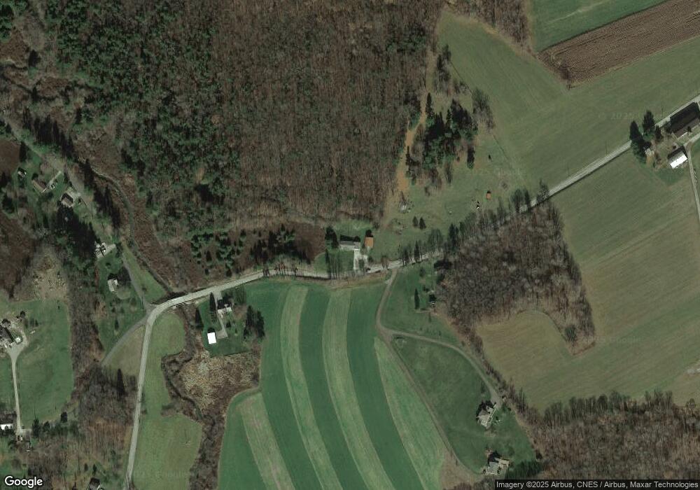
Map
Nearby Homes
- 2100 Water Level Rd
- 1275 Greenhill Ln
- 870 Deer Path Ln
- 1501 Maplehurst Dr
- 1402 Brierwood Dr
- Lot 2 Overlook Dr
- 0 Overlook Dr Unit 2 96025858
- 1303 Brierwood Dr
- 0 Piedmont Rd
- 880 Lansberry Ct
- 840 Lansberry Ct
- 112 Duncan Dr
- 742 S Edgewood Ave (Rear)
- 0 Patton St
- 949 Smith St
- 878 Tayman Ave
- 549 W Race St
- 908 S Park Ave
- 502 Ssr3017
- 475 Chickentown Rd
- 551 Chickentown Rd
- 163 Wind Drift Ln
- 215 Wind Drift Ln
- 591 Poverty Hollow Rd
- 579 Poverty Hollow Rd
- 549 Poverty Hollow Rd
- 630 Chickentown Rd
- 406 Rooster Rd
- 647 Chickentown Rd
- 407 Rooster Rd
- 646 Chickentown Rd
- 659 Chickentown Rd
- 510 Poverty Hollow Rd
- 389 Rooster Rd
- 404 Rooster Rd
- 0 Rooster Road Lot
- 345 Chickentown Rd
- 214 Shady Hollow Rd