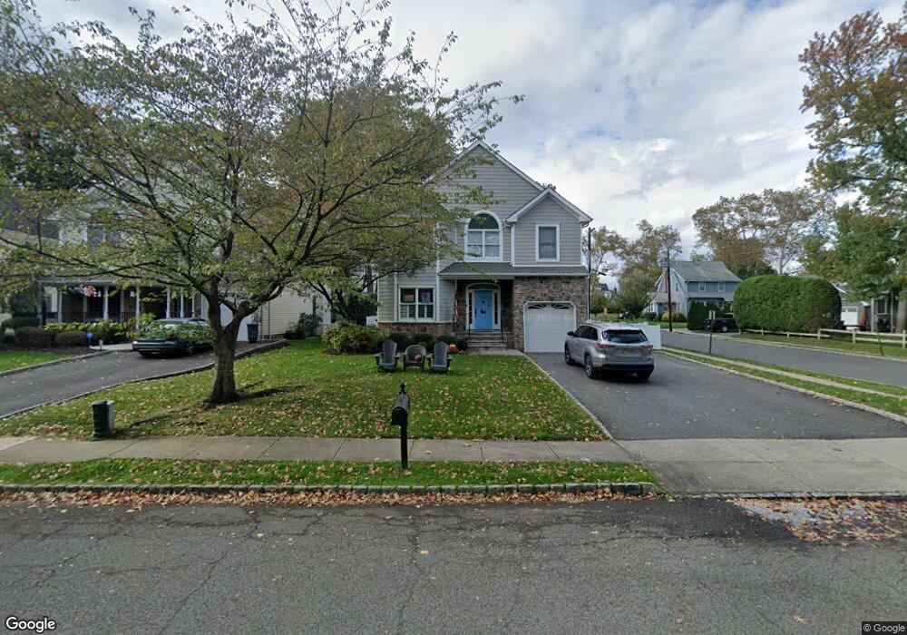
502 Codding Rd Westfield, NJ 07090
Estimated Value: $1,147,000 - $1,634,000
4
Beds
3
Baths
2,605
Sq Ft
$545/Sq Ft
Est. Value
About This Home
This home is located at 502 Codding Rd, Westfield, NJ 07090 and is currently estimated at $1,419,296, approximately $544 per square foot. 502 Codding Rd is a home located in Union County with nearby schools including McKinley Elementary School, Edison Intermediate School, and Westfield Senior High School.
Ownership History
Date
Name
Owned For
Owner Type
Purchase Details
Closed on
Mar 5, 2010
Sold by
Houck Robert and Houck Dana
Bought by
Murphy Michael and Murphy Kerry
Current Estimated Value
Home Financials for this Owner
Home Financials are based on the most recent Mortgage that was taken out on this home.
Original Mortgage
$628,000
Interest Rate
5.03%
Mortgage Type
New Conventional
Purchase Details
Closed on
Aug 24, 2001
Sold by
Emanuel Savas and Emanuel Olga
Bought by
Cfgr Llc
Create a Home Valuation Report for This Property
The Home Valuation Report is an in-depth analysis detailing your home's value as well as a comparison with similar homes in the area
Home Values in the Area
Average Home Value in this Area
Purchase History
| Date | Buyer | Sale Price | Title Company |
|---|---|---|---|
| Murphy Michael | $785,000 | First American Title Ins Co | |
| Cfgr Llc | $350,000 | -- |
Source: Public Records
Mortgage History
| Date | Status | Borrower | Loan Amount |
|---|---|---|---|
| Previous Owner | Murphy Michael | $628,000 |
Source: Public Records
Tax History
| Year | Tax Paid | Tax Assessment Tax Assessment Total Assessment is a certain percentage of the fair market value that is determined by local assessors to be the total taxable value of land and additions on the property. | Land | Improvement |
|---|---|---|---|---|
| 2025 | $19,351 | $859,300 | $390,800 | $468,500 |
| 2024 | $18,956 | $859,300 | $390,800 | $468,500 |
| 2023 | $18,956 | $859,300 | $390,800 | $468,500 |
| 2022 | $18,561 | $859,300 | $390,800 | $468,500 |
| 2021 | $18,587 | $859,300 | $390,800 | $468,500 |
| 2020 | $18,544 | $859,300 | $390,800 | $468,500 |
| 2019 | $18,475 | $859,300 | $390,800 | $468,500 |
| 2018 | $18,724 | $201,400 | $58,200 | $143,200 |
| 2017 | $18,621 | $201,400 | $58,200 | $143,200 |
| 2016 | $18,184 | $201,400 | $58,200 | $143,200 |
| 2015 | $17,822 | $201,400 | $58,200 | $143,200 |
| 2014 | $17,234 | $201,400 | $58,200 | $143,200 |
Source: Public Records
Map
Nearby Homes
- 606 Dorian Rd
- 523 Trinity Place
- 249 Hyslip Ave
- 23 Stoneleigh Park
- 514 Downer St
- 232 Hazel Ave
- 555 Shackamaxon Dr
- 652 W Broad St
- 207 N Scotch Plains Ave
- 941 South Ave W
- 215 Ross Place Unit J
- 756 Clarence St
- 320 Highgate Ave
- 203 Ross Place
- 722 Rahway Ave
- 645 Roosevelt St
- 1030 South Ave W
- 260 Prospect St Unit C12
- 119 Lamberts Mill Rd
- 4 Cowperthwaite Square
Your Personal Tour Guide
Ask me questions while you tour the home.