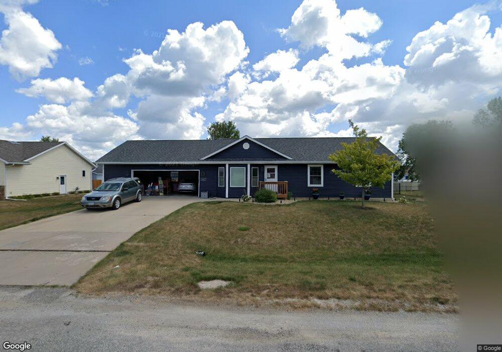
502 D Ave Atkins, IA 52206
Estimated Value: $304,292 - $330,000
3
Beds
3
Baths
1,302
Sq Ft
$240/Sq Ft
Est. Value
About This Home
This home is located at 502 D Ave, Atkins, IA 52206 and is currently estimated at $312,073, approximately $239 per square foot. 502 D Ave is a home located in Benton County with nearby schools including Benton Community Senior High School.
Ownership History
Date
Name
Owned For
Owner Type
Purchase Details
Closed on
Jul 31, 2008
Sold by
Aldrich Hilyard H and Aldrich Amy M
Bought by
Neff Christopher G and Neff Christine L
Current Estimated Value
Home Financials for this Owner
Home Financials are based on the most recent Mortgage that was taken out on this home.
Original Mortgage
$162,000
Outstanding Balance
$104,741
Interest Rate
6.37%
Mortgage Type
Adjustable Rate Mortgage/ARM
Estimated Equity
$207,332
Create a Home Valuation Report for This Property
The Home Valuation Report is an in-depth analysis detailing your home's value as well as a comparison with similar homes in the area
Purchase History
| Date | Buyer | Sale Price | Title Company |
|---|---|---|---|
| Neff Christopher G | $162,000 | None Available |
Source: Public Records
Mortgage History
| Date | Status | Borrower | Loan Amount |
|---|---|---|---|
| Open | Neff Christopher G | $162,000 |
Source: Public Records
Tax History
| Year | Tax Paid | Tax Assessment Tax Assessment Total Assessment is a certain percentage of the fair market value that is determined by local assessors to be the total taxable value of land and additions on the property. | Land | Improvement |
|---|---|---|---|---|
| 2025 | $3,592 | $275,100 | $44,100 | $231,000 |
| 2024 | $3,592 | $253,000 | $43,300 | $209,700 |
| 2023 | $3,388 | $253,000 | $43,300 | $209,700 |
| 2022 | $2,872 | $215,200 | $34,700 | $180,500 |
| 2021 | $2,872 | $185,300 | $34,700 | $150,600 |
| 2020 | $2,502 | $178,400 | $29,700 | $148,700 |
| 2019 | $2,508 | $178,400 | $29,700 | $148,700 |
| 2018 | $2,462 | $177,500 | $26,800 | $150,700 |
| 2017 | $2,462 | $177,500 | $26,800 | $150,700 |
| 2016 | $2,406 | $162,300 | $24,800 | $137,500 |
| 2015 | $2,406 | $162,300 | $24,800 | $137,500 |
| 2014 | $2,264 | $152,200 | $0 | $0 |
Source: Public Records
Map
Nearby Homes
- 405 D Ave
- 516 Prairie Hill Dr
- 622 Prairie Hill Dr
- 88 Main Ave
- 205 2nd Ave
- 534 Cedar Ridge Rd
- 314 1st St
- 332 2nd St
- 329 2nd St
- 89 Cardinal Ave
- 0 Benton Linn Rd Unit NOC6335107
- 3097 69th St
- 0 Benton Linn Rd
- 0 70th St & 29th Ave
- 2573 Linn Benton Rd
- 7806 Hillsboro Dr SW
- 2502 Prairie Knoll Ct NW
- 7602 Country Ridge Dr NW
- 7515 Country Brook Dr NW
- 7913 Crossroads Dr SW
Your Personal Tour Guide
Ask me questions while you tour the home.