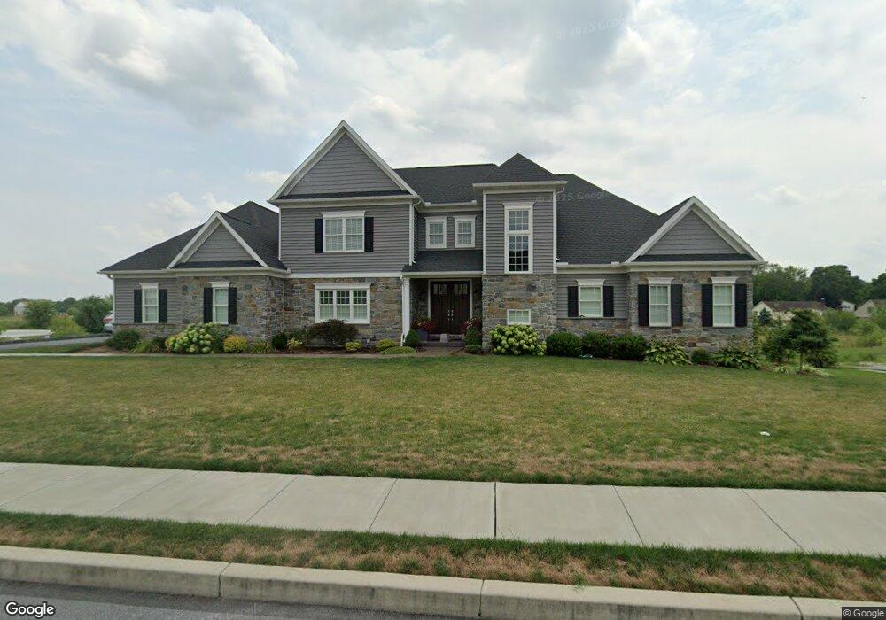
502 Delp Rd Unit 11 Lancaster, PA 17601
Bloomingdale NeighborhoodEstimated Value: $961,000 - $1,130,000
4
Beds
4
Baths
4,083
Sq Ft
$257/Sq Ft
Est. Value
About This Home
This home is located at 502 Delp Rd Unit 11, Lancaster, PA 17601 and is currently estimated at $1,049,493, approximately $257 per square foot. 502 Delp Rd Unit 11 is a home located in Lancaster County with nearby schools including Nitrauer School, Landis Run Intermediate School, and Manheim Township Middle School.
Ownership History
Date
Name
Owned For
Owner Type
Purchase Details
Closed on
Nov 30, 2018
Sold by
Costello David and Costello Sara
Bought by
Weeber Pamela Z and Weeber Richard C
Current Estimated Value
Purchase Details
Closed on
Oct 26, 2018
Sold by
Costello David and Costello Sara
Bought by
Costello David and Costello Sara
Purchase Details
Closed on
Nov 10, 2017
Sold by
Landis Valley Holdings Lp
Bought by
Costello Dave and Costello Sara
Create a Home Valuation Report for This Property
The Home Valuation Report is an in-depth analysis detailing your home's value as well as a comparison with similar homes in the area
Home Values in the Area
Average Home Value in this Area
Purchase History
| Date | Buyer | Sale Price | Title Company |
|---|---|---|---|
| Weeber Pamela Z | $190,000 | First American Abstract Of P | |
| Costello David | -- | None Available | |
| Costello Dave | $525,000 | None Available |
Source: Public Records
Tax History Compared to Growth
Tax History
| Year | Tax Paid | Tax Assessment Tax Assessment Total Assessment is a certain percentage of the fair market value that is determined by local assessors to be the total taxable value of land and additions on the property. | Land | Improvement |
|---|---|---|---|---|
| 2025 | $13,019 | $601,700 | $147,300 | $454,400 |
| 2024 | $13,019 | $601,700 | $147,300 | $454,400 |
| 2023 | $12,680 | $601,700 | $147,300 | $454,400 |
| 2022 | $12,466 | $601,700 | $147,300 | $454,400 |
| 2021 | $12,188 | $601,700 | $147,300 | $454,400 |
| 2020 | $2,710 | $133,800 | $133,800 | $0 |
| 2019 | $2,684 | $133,800 | $133,800 | $0 |
| 2018 | $2,022 | $133,800 | $133,800 | $0 |
| 2017 | $1,204 | $47,300 | $47,300 | $0 |
| 2016 | $1,204 | $47,300 | $47,300 | $0 |
| 2015 | $302 | $47,300 | $47,300 | $0 |
| 2014 | $882 | $47,300 | $47,300 | $0 |
Source: Public Records
Map
Nearby Homes
- 539 Sierra Ln
- 406 Teddy Ave
- 514 Dolly Dr
- 614 Dolly Dr
- 446 Valleybrook Dr Unit 446
- 354 Valleybrook Dr
- 1916 Geraldson Dr
- 2380 Lititz Pike
- 13 Alderwood Way
- 2737 Long Farm Ln
- 81 Buch Ave
- 2028 Melody Ln Unit 6
- 2024 Melody Ln Unit 7
- 2020 Melody Ln Unit 8
- 2016 Melody Ln Unit 9
- 2012 Melody Ln
- 2012 Melody Ln Unit 10
- 90 Delp Rd
- 60 Waverly Ave
- 131 Greenview Dr