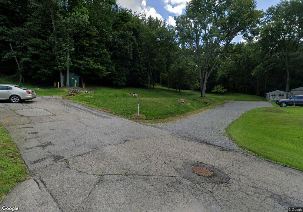
502 Denver Ave New Castle, PA 16101
Estimated Value: $28,464 - $148,000
3
Beds
1
Bath
1,348
Sq Ft
$69/Sq Ft
Est. Value
About This Home
This home is located at 502 Denver Ave, New Castle, PA 16101 and is currently estimated at $93,116, approximately $69 per square foot. 502 Denver Ave is a home located in Lawrence County with nearby schools including New Castle Junior/Senior High School, St. Vitus School, and Wesleyan Methodist Academy.
Ownership History
Date
Name
Owned For
Owner Type
Purchase Details
Closed on
Jan 22, 2020
Sold by
Lawrence County Land Bank
Bought by
Krzysik John H
Current Estimated Value
Purchase Details
Closed on
Dec 9, 2019
Sold by
The 502 Denver Street Realty Trust
Bought by
Lawrence County Land Bank
Purchase Details
Closed on
Jul 2, 2009
Sold by
Moore Patricia
Bought by
The 502 Denver Street Realty Trust
Purchase Details
Closed on
Oct 27, 2007
Sold by
Cox Michael A
Bought by
Moore Patricia
Purchase Details
Closed on
Oct 12, 2005
Sold by
The Tax Claim Bureau Of Lawrence County
Bought by
Cox Michael A
Create a Home Valuation Report for This Property
The Home Valuation Report is an in-depth analysis detailing your home's value as well as a comparison with similar homes in the area
Home Values in the Area
Average Home Value in this Area
Purchase History
| Date | Buyer | Sale Price | Title Company |
|---|---|---|---|
| Krzysik John H | $150 | None Available | |
| Lawrence County Land Bank | -- | None Available | |
| The 502 Denver Street Realty Trust | $1,000 | None Available | |
| Moore Patricia | $15,390 | None Available | |
| Cox Michael A | $1,600 | None Available |
Source: Public Records
Tax History Compared to Growth
Tax History
| Year | Tax Paid | Tax Assessment Tax Assessment Total Assessment is a certain percentage of the fair market value that is determined by local assessors to be the total taxable value of land and additions on the property. | Land | Improvement |
|---|---|---|---|---|
| 2025 | $44 | $700 | $700 | $0 |
| 2024 | $44 | $700 | $700 | $0 |
| 2023 | $44 | $700 | $700 | $0 |
| 2022 | $44 | $700 | $700 | $0 |
| 2021 | $42 | $700 | $700 | $0 |
| 2020 | $537 | $0 | $0 | $0 |
| 2019 | $537 | $13,500 | $3,100 | $10,400 |
| 2018 | $537 | $13,500 | $3,100 | $10,400 |
| 2017 | $525 | $13,500 | $3,100 | $10,400 |
| 2016 | $252 | $13,500 | $3,100 | $10,400 |
| 2015 | $252 | $13,500 | $3,100 | $10,400 |
| 2014 | $252 | $13,500 | $3,100 | $10,400 |
Source: Public Records
Map
Nearby Homes
- 422 Galbreath St
- 1902 Hamilton St
- 1714 Hamilton St
- 1512 Grimes St
- 413 Electric St
- 517 Electric St
- 510 Waldo St
- 1603 Morris St
- 107,109,111 E Long Ave
- 459 E Long Ave
- 1310 Pennsylvania Ave
- 1810 Tony St
- 709 Arlington Ave
- 1111 Pollock Ave
- 311 E Reynolds St
- 726 Arlington Ave
- 1112 Pollock Ave
- 1112 Summit St
- 622 E Reynolds St
- 19 W Terrace Ave
- 420 Denver Ave
- 501 Denver Ave
- 421 Denver Ave
- 509 Denver Ave
- 419 Denver Ave
- 412 Denver Ave
- 504 Galbreath St
- 506 Galbreath St
- 434 Galbreath St
- 411 Denver Ave
- 508 Galbreath St
- 412 Carl St
- 432 Galbreath St
- 510 Galbreath St
- 409 Denver Ave
- 430 Galbreath St
- 407 Denver Ave
- 514 Galbreath St
- 1809 Hamilton St
- 1807 Hamilton St
