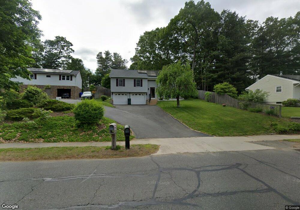
502 Dwight Rd Springfield, MA 01108
Forest Park NeighborhoodEstimated Value: $365,000 - $370,221
About This Home
This home is located at 502 Dwight Rd, Springfield, MA 01108 and is currently estimated at $366,555, approximately $225 per square foot. 502 Dwight Rd is a home located in Hampden County with nearby schools including Alice B. Beal Elementary School, Forest Park Middle School, and High School Of Commerce.
Ownership History
We collect this data history from publicly available records. To have your information removed, we recommend requesting removal directly through your county’s website.
Purchase Details
Purchase Details
Purchase Details
Home Financials for this Owner
Home Financials are based on the most recent Mortgage that was taken out on this home.Purchase Details
Purchase Details
Purchase Details
Home Values in the Area
Average Home Value in this Area
Purchase History
We collect this data history from publicly available records. To have your information removed, we recommend requesting removal directly through your county’s website.
| Date | Buyer | Sale Price | Title Company |
|---|---|---|---|
| $185,000 | -- | ||
| $226,918 | -- | ||
| $253,000 | -- | ||
| $32,500 | -- | ||
| $27,000 | -- | ||
| $19,000 | -- |
Mortgage History
We collect this data history from publicly available records. To have your information removed, we recommend requesting removal directly through your county’s website.
| Date | Status | Borrower | Loan Amount |
|---|---|---|---|
| Open | $93,000 | ||
| Previous Owner | $50,600 |
Tax History
We collect this data history from publicly available records. To have your information removed, we recommend requesting removal directly through your county’s website.
| Year | Tax Paid | Tax Assessment Tax Assessment Total Assessment is a certain percentage of the fair market value that is determined by local assessors to be the total taxable value of land and additions on the property. | Land | Improvement |
|---|---|---|---|---|
| 2025 | $4,765 | $303,900 | $53,500 | $250,400 |
| 2024 | $4,673 | $291,000 | $53,500 | $237,500 |
| 2023 | $4,639 | $272,100 | $45,200 | $226,900 |
| 2022 | $3,802 | $202,000 | $45,200 | $156,800 |
| 2021 | $3,861 | $204,300 | $41,100 | $163,200 |
| 2020 | $3,844 | $196,800 | $41,100 | $155,700 |
| 2019 | $3,849 | $195,600 | $41,100 | $154,500 |
| 2018 | $3,964 | $201,400 | $41,100 | $160,300 |
| 2017 | $3,560 | $181,100 | $39,700 | $141,400 |
| 2016 | $3,647 | $185,500 | $39,700 | $145,800 |
| 2015 | $3,556 | $180,800 | $39,700 | $141,100 |
Map
- 497 Dwight Rd
- 7 Bunker Cir
- 32 Crestmont St
- 328 Hartwick St
- 31 Crawford Cir
- 16 Fenimore Blvd
- 38 Donald Ave
- 48 Weymouth St
- 0 Donald Ave
- 52 Burns Meadow Unit 52
- 143 Braeburn Rd
- 20 Entrybrook Dr
- 1051 Converse St
- 82 Churchill Dr
- 115 Jamestown Dr
- 80 Yorktown Dr Unit 80
- 115 Williamsburg Dr
- 26 Thompson St
- 83 Waterman Ave
- 23 Thompson St
- 492 Dwight Rd
- 512 Dwight Rd
- 484 Dwight Rd
- 505 Dwight Rd
- 5 Putting Green Cir
- 547 Tiffany St
- 489 Dwight Rd
- 526 Dwight Rd
- 531 Tiffany St
- 539 Tiffany St
- 474 Dwight Rd
- 16 Putting Green Cir
- 40 E Drumlin Rd
- 34 E Drumlin Rd
- 523 Tiffany St
- 48 E Drumlin Rd
- 527 Dwight Rd
- 475 Dwight Rd
- 56 E Drumlin Rd
- 15 Putting Green Cir
Ask me questions while you tour the home.