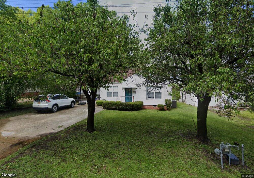
502 E 12th St SMacKover, AR 71762
Estimated Value: $71,000 - $108,000
Studio
2
Baths
1,545
Sq Ft
$55/Sq Ft
Est. Value
About This Home
This home is located at 502 E 12th St, SMacKover, AR 71762 and is currently estimated at $85,281, approximately $55 per square foot. 502 E 12th St is a home located in Union County with nearby schools including Smackover Elementary School, Norphlet Middle School, and Smackover High School.
Ownership History
Date
Name
Owned For
Owner Type
Purchase Details
Closed on
Jul 8, 2014
Sold by
Jpmorgan Chase Bank Na
Bought by
Seymour Kim M and Seymour John D
Current Estimated Value
Purchase Details
Closed on
Apr 19, 2013
Bought by
Jp Morgan Chase Bank
Purchase Details
Closed on
May 18, 2007
Sold by
Bethen William T and Bethen Crystal
Bought by
Snow Terry R and Snow Amanda
Home Financials for this Owner
Home Financials are based on the most recent Mortgage that was taken out on this home.
Original Mortgage
$82,620
Interest Rate
6.16%
Mortgage Type
New Conventional
Purchase Details
Closed on
Feb 5, 1999
Bought by
Frachiseur Norweida and 508 E. 13Th St.
Purchase Details
Closed on
Jan 1, 1992
Bought by
Hopkins Donalda Ann
Create a Home Valuation Report for This Property
The Home Valuation Report is an in-depth analysis detailing your home's value as well as a comparison with similar homes in the area
Purchase History
| Date | Buyer | Sale Price | Title Company |
|---|---|---|---|
| Seymour Kim M | $39,500 | -- | |
| Jp Morgan Chase Bank | -- | -- | |
| Snow Terry R | $76,000 | Proffesional Land Title Comp | |
| Frachiseur Norweida | $37,000 | -- | |
| Hopkins Donalda Ann | -- | -- |
Source: Public Records
Mortgage History
| Date | Status | Borrower | Loan Amount |
|---|---|---|---|
| Previous Owner | Snow Terry R | $82,620 |
Source: Public Records
Tax History
| Year | Tax Paid | Tax Assessment Tax Assessment Total Assessment is a certain percentage of the fair market value that is determined by local assessors to be the total taxable value of land and additions on the property. | Land | Improvement |
|---|---|---|---|---|
| 2025 | $618 | $11,460 | $1,000 | $10,460 |
| 2024 | $618 | $11,460 | $1,000 | $10,460 |
| 2023 | $618 | $11,460 | $1,000 | $10,460 |
| 2022 | $597 | $11,070 | $1,000 | $10,070 |
| 2021 | $597 | $11,070 | $1,000 | $10,070 |
| 2020 | $597 | $11,070 | $1,000 | $10,070 |
| 2019 | $597 | $11,070 | $1,000 | $10,070 |
| 2018 | $597 | $11,070 | $1,000 | $10,070 |
| 2017 | $553 | $10,430 | $1,000 | $9,430 |
| 2016 | $553 | $10,430 | $1,000 | $9,430 |
| 2015 | $553 | $10,430 | $1,000 | $9,430 |
| 2014 | $553 | $10,430 | $1,000 | $9,430 |
Source: Public Records
Map
Nearby Homes
- 0 Poplar
- Lots 2-3 Poplar St
- 300 W 7th St
- 1203 Pine Cir
- 172 Lisbon Rd
- Hwy 160 Unit LotWP001
- 000 Hwy 160
- 544 N Tate Rd
- 2025 O Rear Rd
- 580 O Rear Cutoff
- 217 Walter Dr
- 191 Charlie Vance Rd
- 5053 Lisbon Rd
- 0 Highway 75-20 Unit 24032576
- 740 Agnes Rd
- 526 Meadow Ln
- 1.4 Acres Victor Dumas Rd
- 140 Ouachita 497
- 4258 Calion Hwy
- 208 Mockingbird Ln
Your Personal Tour Guide
Ask me questions while you tour the home.