Estimated Value: $260,449 - $299,000
2
Beds
2
Baths
1,822
Sq Ft
$155/Sq Ft
Est. Value
About This Home
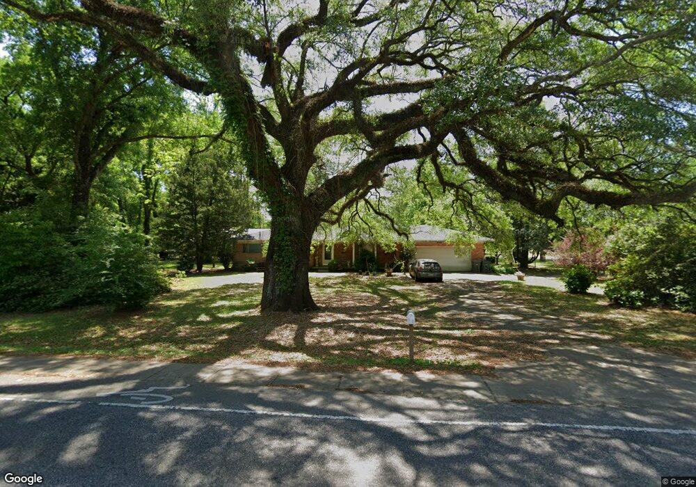
This home is located at 502 E Michigan Ave, Foley, AL 36535 and is currently estimated at $282,112, approximately $154 per square foot. 502 E Michigan Ave is a home located in Baldwin County with nearby schools including Florence Mathis Elementary School, Foley Middle School, and Foley High School.
Ownership History
Date
Name
Owned For
Owner Type
Purchase Details
Closed on
Dec 22, 2006
Sold by
Phillips John W and Phillips Linda A
Bought by
Brown Derek W and Brown Diana L
Current Estimated Value
Home Financials for this Owner
Home Financials are based on the most recent Mortgage that was taken out on this home.
Original Mortgage
$140,000
Outstanding Balance
$83,145
Interest Rate
6.19%
Mortgage Type
New Conventional
Estimated Equity
$198,967
Create a Home Valuation Report for This Property
The Home Valuation Report is an in-depth analysis detailing your home's value as well as a comparison with similar homes in the area
Home Values in the Area
Average Home Value in this Area
Purchase History
| Date | Buyer | Sale Price | Title Company |
|---|---|---|---|
| Brown Derek W | -- | None Available |
Source: Public Records
Mortgage History
| Date | Status | Borrower | Loan Amount |
|---|---|---|---|
| Open | Brown Derek W | $140,000 |
Source: Public Records
Tax History Compared to Growth
Tax History
| Year | Tax Paid | Tax Assessment Tax Assessment Total Assessment is a certain percentage of the fair market value that is determined by local assessors to be the total taxable value of land and additions on the property. | Land | Improvement |
|---|---|---|---|---|
| 2024 | $746 | $23,960 | $2,600 | $21,360 |
| 2023 | $750 | $24,100 | $3,080 | $21,020 |
| 2022 | $611 | $19,880 | $0 | $0 |
| 2021 | $490 | $16,220 | $0 | $0 |
| 2020 | $445 | $14,860 | $0 | $0 |
| 2019 | $433 | $14,480 | $0 | $0 |
| 2018 | $393 | $13,280 | $0 | $0 |
| 2017 | $373 | $12,660 | $0 | $0 |
| 2016 | $349 | $11,940 | $0 | $0 |
| 2015 | $341 | $11,700 | $0 | $0 |
| 2014 | $309 | $10,720 | $0 | $0 |
| 2013 | -- | $10,140 | $0 | $0 |
Source: Public Records
Map
Nearby Homes
- 1123 Pheasant Cir
- 1724 Partridge St
- 1093 Pheasant Cir
- 1096 Pheasant Cir
- Plan 1525 at Heritage Landing
- Plan 1348 at Heritage Landing
- Plan 1635-C at Heritage Landing
- Plan 2200 at Heritage Landing
- Plan 1820-2 at Heritage Landing
- Plan 1425 at Heritage Landing
- Plan 1717 at Heritage Landing
- Plan 1900 at Heritage Landing
- Plan 2020 at Heritage Landing
- 1420 Plymouth Dr
- 1338 Plymouth Dr
- 0 S Poplar St Unit 340047
- 637 Revere St
- 624 Mayflower Dr
- 627 Mayflower Dr
- 628 Mayflower Dr
- 1321 S Poplar St
- 505 E Michigan Ave
- 506 E Michigan Ave
- 507 E Michigan Ave
- 509 E Michigan Ave
- 511 E Michigan Ave
- 503 E Michigan Ave
- 510 E Michigan Ave
- 501 E Michigan Ave
- 514 E Michigan Ave
- 402 E Michigan Ave
- 508 Loblolly Ct
- 506 Loblolly Ct
- 506 Loblolly Ct
- 510 Loblolly Ct
- 504 Loblolly Ct
- 515 E Michigan Ave
- 512 Loblolly Ct
- 400 E Michigan Ave
- 516 E Michigan Ave