502 Harvest Commons Westport, CT 06880
Staples NeighborhoodEstimated Value: $1,155,000 - $1,407,000
2
Beds
4
Baths
2,141
Sq Ft
$604/Sq Ft
Est. Value
About This Home
This home is located at 502 Harvest Commons, Westport, CT 06880 and is currently estimated at $1,292,129, approximately $603 per square foot. 502 Harvest Commons is a home located in Fairfield County with nearby schools including Long Lots School, Bedford Middle School, and Staples High School.
Ownership History
Date
Name
Owned For
Owner Type
Purchase Details
Closed on
Nov 26, 2020
Sold by
Sachs Ronnie B
Bought by
Ronnie Bershad Sachs Ret
Current Estimated Value
Purchase Details
Closed on
Jun 15, 2001
Sold by
Bigelow Lori
Bought by
Bershad Ronnie
Home Financials for this Owner
Home Financials are based on the most recent Mortgage that was taken out on this home.
Original Mortgage
$275,000
Interest Rate
6.63%
Create a Home Valuation Report for This Property
The Home Valuation Report is an in-depth analysis detailing your home's value as well as a comparison with similar homes in the area
Home Values in the Area
Average Home Value in this Area
Purchase History
| Date | Buyer | Sale Price | Title Company |
|---|---|---|---|
| Ronnie Bershad Sachs Ret | -- | None Available | |
| Ronnie Bershad Sachs Ret | -- | None Available | |
| Bershad Ronnie | $500,000 | -- | |
| Bershad Ronnie | $500,000 | -- |
Source: Public Records
Mortgage History
| Date | Status | Borrower | Loan Amount |
|---|---|---|---|
| Previous Owner | Bershad Ronnie | $245,000 | |
| Previous Owner | Bershad Ronnie | $273,000 | |
| Previous Owner | Bershad Ronnie | $275,000 |
Source: Public Records
Tax History Compared to Growth
Tax History
| Year | Tax Paid | Tax Assessment Tax Assessment Total Assessment is a certain percentage of the fair market value that is determined by local assessors to be the total taxable value of land and additions on the property. | Land | Improvement |
|---|---|---|---|---|
| 2025 | $9,441 | $500,600 | $0 | $500,600 |
| 2024 | $9,321 | $500,600 | $0 | $500,600 |
| 2023 | $9,186 | $500,600 | $0 | $500,600 |
| 2022 | $9,046 | $500,600 | $0 | $500,600 |
| 2021 | $9,046 | $500,600 | $0 | $500,600 |
| 2020 | $8,535 | $538,100 | $0 | $538,100 |
| 2019 | $9,072 | $538,100 | $0 | $538,100 |
| 2018 | $9,072 | $538,100 | $0 | $538,100 |
| 2017 | $9,072 | $538,100 | $0 | $538,100 |
| 2016 | $9,072 | $538,100 | $0 | $538,100 |
| 2015 | $8,965 | $495,600 | $0 | $495,600 |
| 2014 | $8,891 | $495,600 | $0 | $495,600 |
Source: Public Records
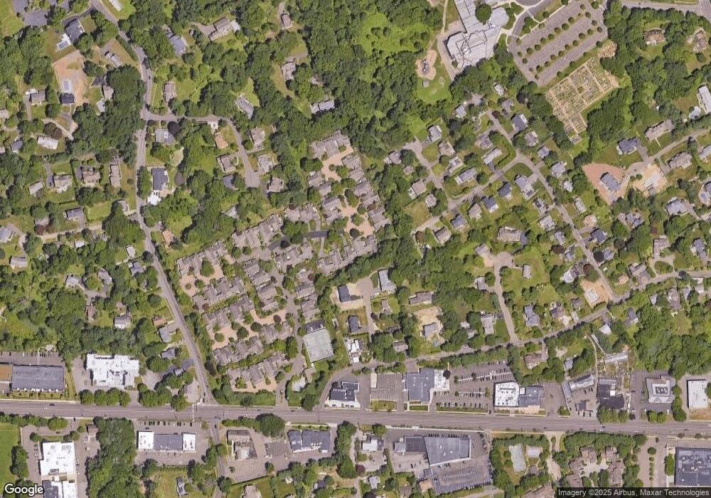
Map
Nearby Homes
- 402 Harvest Commons Unit 402
- 40 Maple Ave N
- 7 Morningside Ln
- 86 Old Rd
- 20 Morningside Dr S
- 26 Morningside Dr S
- 22 Morningside Dr S
- 1 Coastal Ct
- 107 Old Rd
- 36 Maple Ave S
- 4 Burr Farms Rd
- 7 High Gate Rd
- 16 Burr School Rd
- 4 Jennings Ct
- 144 Lansdowne Unit 144
- 125 Old Rd
- 9 Burr Farms Rd
- 10 Debra Ln
- 6 Sunny Acres Ln
- 61 Clapboard Hill Rd
- 504 Harvest Commons
- 506 Harvest Commons
- 508 Harvest Commons
- 510 Harvest Commons
- 522 Harvest Common
- 512 Harvest Commons
- 514 Harvest Commons
- 516 Harvest Commons
- 515 Harvest Common
- 511 Harvest Common
- 520 Harvest Common
- 517 Harvest Common
- 518 Harvest Common
- 506 Harvest Common Unit 506
- 508 Harvest Common Unit 508
- 512 Harvest Common Unit 512
- 513 Harvest Common
- 504 Harvest Common Unit 504
- 513 Harvest Common Unit 513