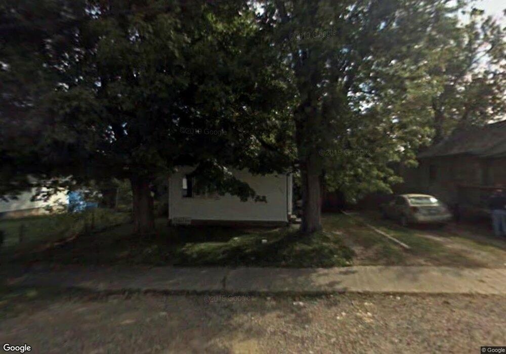
502 Howard St Mansfield, OH 44903
Estimated Value: $39,000 - $83,000
3
Beds
--
Bath
526
Sq Ft
$115/Sq Ft
Est. Value
About This Home
This home is located at 502 Howard St, Mansfield, OH 44903 and is currently estimated at $60,556, approximately $115 per square foot. 502 Howard St is a home located in Richland County with nearby schools including Foundation Academy, Mansfield Elective Academy, and Interactive Media & Construction (IMAC) Academy.
Ownership History
Date
Name
Owned For
Owner Type
Purchase Details
Closed on
Jan 19, 2023
Sold by
Kososky Thomas J
Bought by
Jefferey Tammy
Current Estimated Value
Purchase Details
Closed on
Oct 31, 2002
Sold by
Johnston Donald R
Bought by
Kososky Thomas J
Purchase Details
Closed on
Dec 6, 1993
Sold by
Johnston Linda E
Bought by
Johnston Linda E
Create a Home Valuation Report for This Property
The Home Valuation Report is an in-depth analysis detailing your home's value as well as a comparison with similar homes in the area
Home Values in the Area
Average Home Value in this Area
Purchase History
| Date | Buyer | Sale Price | Title Company |
|---|---|---|---|
| Jefferey Tammy | $14,000 | None Listed On Document | |
| Jefferey Tammy | $14,000 | -- | |
| Kososky Thomas J | $12,000 | -- | |
| Johnston Linda E | $10,000 | -- |
Source: Public Records
Tax History Compared to Growth
Tax History
| Year | Tax Paid | Tax Assessment Tax Assessment Total Assessment is a certain percentage of the fair market value that is determined by local assessors to be the total taxable value of land and additions on the property. | Land | Improvement |
|---|---|---|---|---|
| 2024 | $450 | $8,950 | $1,530 | $7,420 |
| 2023 | $429 | $8,950 | $1,530 | $7,420 |
| 2022 | $393 | $6,880 | $1,390 | $5,490 |
| 2021 | $396 | $6,880 | $1,390 | $5,490 |
| 2020 | $405 | $6,880 | $1,390 | $5,490 |
| 2019 | $449 | $6,880 | $1,390 | $5,490 |
| 2018 | $443 | $6,880 | $1,390 | $5,490 |
| 2017 | $431 | $6,880 | $1,390 | $5,490 |
| 2016 | $479 | $7,410 | $2,190 | $5,220 |
| 2015 | $479 | $7,410 | $2,190 | $5,220 |
| 2014 | $451 | $7,410 | $2,190 | $5,220 |
| 2012 | $364 | $7,800 | $2,310 | $5,490 |
Source: Public Records
Map
Nearby Homes
- 512 Burns St
- 426 Mcpherson St
- 0 Highway 30
- 0 State Route 314 Unit 9069650
- 0 State Route 314 Unit 9067316
- 0 State Route 314 Unit 225021979
- 0 Voegele Ave Unit Lot 6048, 6049, 6
- 283 Bulkley Ave
- 371 Bell St
- 269 Parkway Dr
- 237 Helen Ave
- 362-364 W 6th St
- 526 Bowman St
- 212 Penn Ave
- 185 Rowland Ave
- 156 Buckingham Ave Unit 158
- 743 Bowman St
- 170 Western Ave
- 282 W 5th St
- 120 Gettings Place