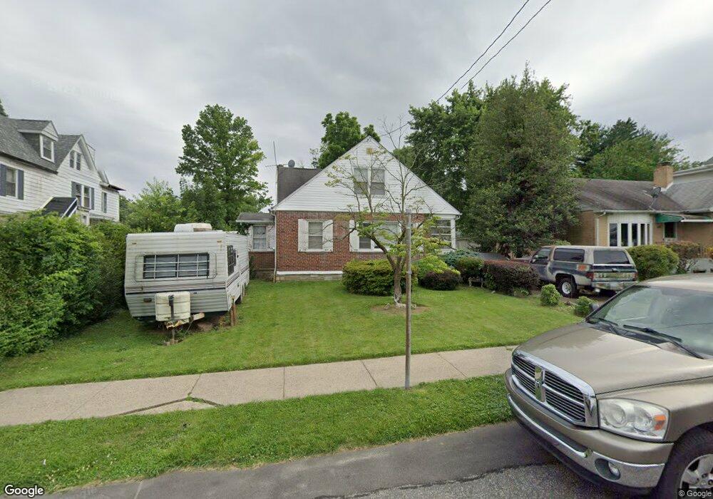
502 Independence Ave Philadelphia, PA 19126
East Oak Lane NeighborhoodEstimated Value: $286,000 - $325,000
--
Bed
--
Bath
1,653
Sq Ft
$184/Sq Ft
Est. Value
About This Home
This home is located at 502 Independence Ave, Philadelphia, PA 19126 and is currently estimated at $304,695, approximately $184 per square foot. 502 Independence Ave is a home located in Philadelphia County with nearby schools including Thomas K. Finletter School, Samuel Fels High School, and Eugenio Maria de Hostos Charter School.
Ownership History
Date
Name
Owned For
Owner Type
Purchase Details
Closed on
Aug 12, 2000
Sold by
Webster Richard J and Webster Joseph G
Bought by
Brutley Brenda and Jenkins Derrick C
Current Estimated Value
Home Financials for this Owner
Home Financials are based on the most recent Mortgage that was taken out on this home.
Original Mortgage
$114,059
Outstanding Balance
$40,322
Interest Rate
8.06%
Mortgage Type
FHA
Estimated Equity
$264,373
Create a Home Valuation Report for This Property
The Home Valuation Report is an in-depth analysis detailing your home's value as well as a comparison with similar homes in the area
Home Values in the Area
Average Home Value in this Area
Purchase History
| Date | Buyer | Sale Price | Title Company |
|---|---|---|---|
| Brutley Brenda | $115,000 | First American Title Ins Co |
Source: Public Records
Mortgage History
| Date | Status | Borrower | Loan Amount |
|---|---|---|---|
| Open | Brutley Brenda | $114,059 |
Source: Public Records
Tax History Compared to Growth
Tax History
| Year | Tax Paid | Tax Assessment Tax Assessment Total Assessment is a certain percentage of the fair market value that is determined by local assessors to be the total taxable value of land and additions on the property. | Land | Improvement |
|---|---|---|---|---|
| 2026 | $3,036 | $279,100 | $55,820 | $223,280 |
| 2025 | $3,036 | $279,100 | $55,820 | $223,280 |
| 2024 | $3,036 | $279,100 | $55,820 | $223,280 |
| 2023 | $3,036 | $216,900 | $43,380 | $173,520 |
| 2022 | $2,070 | $171,900 | $43,380 | $128,520 |
| 2021 | $2,700 | $0 | $0 | $0 |
| 2020 | $2,700 | $0 | $0 | $0 |
| 2019 | $2,510 | $0 | $0 | $0 |
| 2018 | $2,730 | $0 | $0 | $0 |
| 2017 | $2,982 | $0 | $0 | $0 |
| 2016 | $2,562 | $0 | $0 | $0 |
| 2015 | $2,452 | $0 | $0 | $0 |
| 2014 | -- | $213,000 | $72,454 | $140,546 |
| 2012 | -- | $23,136 | $4,225 | $18,911 |
Source: Public Records
Map
Nearby Homes
- 702 Oak Lane Ave
- 417 66th Ave
- 512 Crest Ave
- 6733 N 8th St
- 6846 N 7th St
- 7208 Chestnut Ave
- 7301 Chestnut Ave
- 7301 Coventry Ave Unit 502
- 6409 N 7th St
- 6588 W Walnut Park Dr
- 6605 Lawnton Ave
- 900 Valley Rd Unit D-203
- 6803 N 12th St
- 6210 N Fairhill St
- 1203 68th Ave
- 1007 Valley Rd
- 441 W Godfrey Ave
- 1010 W Chelten Ave
- 204 Lenape Ave
- 6607 N 13th St
- 504 Independence Ave
- 500 Independence Ave
- 506 Independence Ave
- 508 Independence Ave
- 505 Independence Ave
- 515 67th Ave
- 517 67th Ave
- 519 67th Ave
- 510 Independence Ave
- 507 Independence Ave
- 521 67th Ave
- 511 67th Ave
- 509 67th Ave
- 523 67th Ave
- 507 67th Ave
- 509 Independence Ave
- 525 67th Ave
- 515 Independence Ave
- 505 67th Ave
- 517 Independence Ave