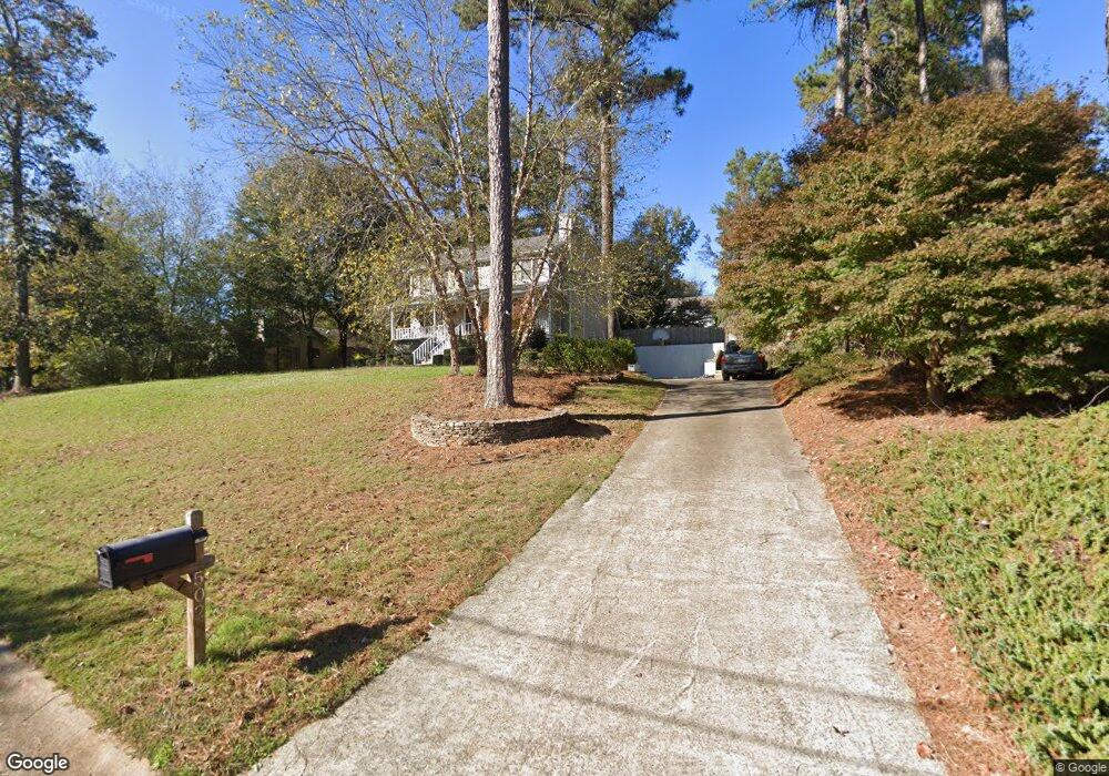
502 Kay Rd Woodstock, GA 30188
Union Hill NeighborhoodEstimated Value: $393,000 - $456,000
3
Beds
3
Baths
2,128
Sq Ft
$199/Sq Ft
Est. Value
About This Home
This home is located at 502 Kay Rd, Woodstock, GA 30188 and is currently estimated at $424,223, approximately $199 per square foot. 502 Kay Rd is a home located in Cherokee County with nearby schools including Johnston Elementary School, Mill Creek Middle School, and River Ridge High School.
Ownership History
Date
Name
Owned For
Owner Type
Purchase Details
Closed on
Dec 29, 1997
Sold by
Page Charles E and Page Chandra
Bought by
Barfield Roy A and Barfield Alanna J
Current Estimated Value
Home Financials for this Owner
Home Financials are based on the most recent Mortgage that was taken out on this home.
Original Mortgage
$118,250
Outstanding Balance
$19,270
Interest Rate
7.2%
Estimated Equity
$404,953
Create a Home Valuation Report for This Property
The Home Valuation Report is an in-depth analysis detailing your home's value as well as a comparison with similar homes in the area
Home Values in the Area
Average Home Value in this Area
Purchase History
| Date | Buyer | Sale Price | Title Company |
|---|---|---|---|
| Barfield Roy A | $124,500 | -- |
Source: Public Records
Mortgage History
| Date | Status | Borrower | Loan Amount |
|---|---|---|---|
| Open | Barfield Roy A | $118,250 |
Source: Public Records
Tax History Compared to Growth
Tax History
| Year | Tax Paid | Tax Assessment Tax Assessment Total Assessment is a certain percentage of the fair market value that is determined by local assessors to be the total taxable value of land and additions on the property. | Land | Improvement |
|---|---|---|---|---|
| 2025 | $3,511 | $151,100 | $32,000 | $119,100 |
| 2024 | $3,495 | $151,500 | $32,000 | $119,500 |
| 2023 | $2,298 | $115,300 | $23,600 | $91,700 |
| 2022 | $2,697 | $112,060 | $23,600 | $88,460 |
| 2021 | $2,877 | $110,220 | $17,200 | $93,020 |
| 2020 | $2,747 | $104,500 | $17,200 | $87,300 |
| 2019 | $2,663 | $100,920 | $16,000 | $84,920 |
| 2018 | $2,495 | $93,160 | $16,000 | $77,160 |
| 2017 | $2,450 | $226,200 | $15,200 | $75,280 |
| 2016 | $2,332 | $211,200 | $12,400 | $72,080 |
| 2015 | $2,026 | $178,000 | $12,400 | $58,800 |
| 2014 | $1,897 | $166,700 | $12,400 | $54,280 |
Source: Public Records
Map
Nearby Homes
- 711 Evans St
- 707 Evans St
- 5830 Mill Creek Ln
- 2875 Trickum Rd
- 218 Haleys Ct
- 106 Thornwood Dr
- 126 Highlands Dr Unit 1
- 120 Sweetbriar Farm Rd
- 0 O Hara Dr Unit 8443973
- 0 O Hara Dr Unit 6064833
- 524 S Holly Springs Rd
- 161 Stoney Creek Pkwy
- 414 New Park Dr
- 147 Madison Bend
- 512 S Holly Springs Rd
- 133 Madison Bend
- 157 Springwater Trace
- 614 Springharbor Dr
- 325 Braswell Ct
- 505 Lost Creek Dr