502 Keeneland Ave Woodstock, GA 30189
Estimated Value: $491,002 - $496,000
4
Beds
3
Baths
2,369
Sq Ft
$208/Sq Ft
Est. Value
About This Home
This home is located at 502 Keeneland Ave, Woodstock, GA 30189 and is currently estimated at $493,501, approximately $208 per square foot. 502 Keeneland Ave is a home located in Cherokee County with nearby schools including Woodstock Elementary School, Woodstock Middle School, and Woodstock High School.
Ownership History
Date
Name
Owned For
Owner Type
Purchase Details
Closed on
Jun 1, 2009
Sold by
Ward Ricky C and Ward Tracy L
Bought by
Brown Christopher T and Brown Roselyn I
Current Estimated Value
Home Financials for this Owner
Home Financials are based on the most recent Mortgage that was taken out on this home.
Original Mortgage
$213,560
Outstanding Balance
$135,148
Interest Rate
4.8%
Mortgage Type
FHA
Estimated Equity
$358,353
Purchase Details
Closed on
Sep 26, 2002
Sold by
Pulte Hm Corp
Bought by
Ward Ricky C and Ward Tracy
Home Financials for this Owner
Home Financials are based on the most recent Mortgage that was taken out on this home.
Original Mortgage
$179,089
Interest Rate
6.27%
Mortgage Type
VA
Create a Home Valuation Report for This Property
The Home Valuation Report is an in-depth analysis detailing your home's value as well as a comparison with similar homes in the area
Home Values in the Area
Average Home Value in this Area
Purchase History
| Date | Buyer | Sale Price | Title Company |
|---|---|---|---|
| Brown Christopher T | $217,500 | -- | |
| Ward Ricky C | $181,900 | -- |
Source: Public Records
Mortgage History
| Date | Status | Borrower | Loan Amount |
|---|---|---|---|
| Open | Brown Christopher T | $213,560 | |
| Previous Owner | Ward Ricky C | $179,089 |
Source: Public Records
Tax History Compared to Growth
Tax History
| Year | Tax Paid | Tax Assessment Tax Assessment Total Assessment is a certain percentage of the fair market value that is determined by local assessors to be the total taxable value of land and additions on the property. | Land | Improvement |
|---|---|---|---|---|
| 2024 | $4,213 | $180,160 | $34,000 | $146,160 |
| 2023 | $458 | $177,080 | $33,200 | $143,880 |
| 2022 | $3,666 | $143,960 | $28,000 | $115,960 |
| 2021 | $2,823 | $119,320 | $23,960 | $95,360 |
| 2020 | $3,271 | $106,840 | $21,200 | $85,640 |
| 2019 | $2,461 | $101,240 | $19,200 | $82,040 |
| 2018 | $2,460 | $97,160 | $18,000 | $79,160 |
| 2017 | $2,374 | $232,600 | $18,000 | $75,040 |
| 2016 | $2,228 | $216,400 | $18,000 | $68,560 |
| 2015 | $2,030 | $195,500 | $17,200 | $61,000 |
| 2014 | $1,888 | $181,400 | $17,200 | $55,360 |
Source: Public Records
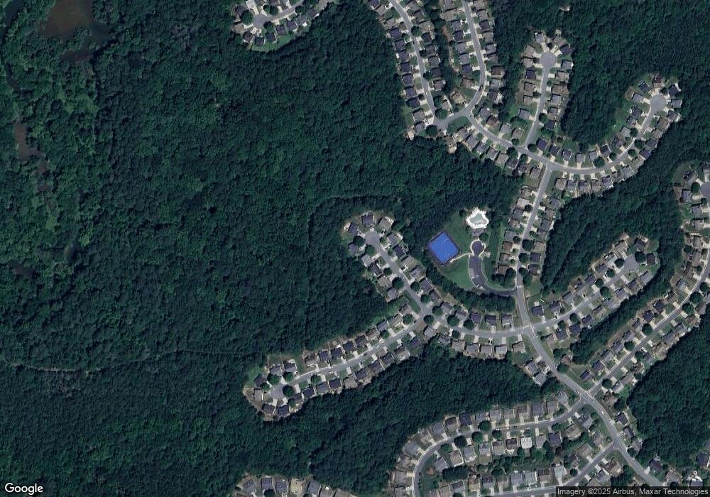
Map
Nearby Homes
- 505 Keeneland Ave
- 622 Keeneland Terrace
- 581 Ashland Pkwy Unit 1
- 186 Wallnut Hall Cir
- 518 Wallnut Hall Cove
- 900 Santa Anita Dr
- 103 Whirlaway Place Unit 5
- 240 Ashland Dr
- 122 Santa Anita Trail
- 824 Hillcrest Ln
- 3525 Stone Cliff Way
- 2295 Ansley Ct
- 3511 Stone Cliff Way
- 3607 Broken Arrow Dr Unit I
- 559 Fairway Dr
- 505 Knoll Pointe
- 1307 Cobblestone Ln
- 504 Keeneland Ave
- 500 Keeneland Ave
- 506 Keeneland Ave Unit 7B
- 501 Keeneland Ave
- 508 Keeneland Ave
- 503 Keeneland Ave
- 507 Keeneland Ave Unit GA0015
- 507 Keeneland Ave
- 507 Keeneland Ave
- 507 Keeneland Ave
- 507 Keeneland Ave Unit GA00155
- 510 Keeneland Ave Unit 7B
- 511 Keeneland Ave
- 600 Keeneland Terrace Unit 7B
- 602 Keeneland Terrace Unit 7
- 604 Keeneland Terrace
- 513 Keeneland Ave
- 606 Keeneland Terrace Unit 7
- 608 Keeneland Terrace
- 610 Keeneland Terrace