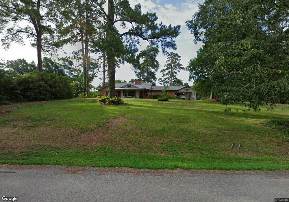
502 Leslie Ln Lufkin, TX 75901
Estimated Value: $247,000 - $280,000
--
Bed
8
Baths
2,100
Sq Ft
$125/Sq Ft
Est. Value
About This Home
This home is located at 502 Leslie Ln, Lufkin, TX 75901 and is currently estimated at $262,502, approximately $125 per square foot. 502 Leslie Ln is a home located in Angelina County with nearby schools including Burley Primary School, Slack Elementary School, and Lufkin Middle School.
Ownership History
Date
Name
Owned For
Owner Type
Purchase Details
Closed on
Nov 18, 2009
Sold by
Ramsey Monte L
Bought by
Ramsey Monte L and Ramsey Kathryn A
Current Estimated Value
Home Financials for this Owner
Home Financials are based on the most recent Mortgage that was taken out on this home.
Original Mortgage
$40,000
Interest Rate
4.83%
Mortgage Type
Purchase Money Mortgage
Create a Home Valuation Report for This Property
The Home Valuation Report is an in-depth analysis detailing your home's value as well as a comparison with similar homes in the area
Home Values in the Area
Average Home Value in this Area
Purchase History
| Date | Buyer | Sale Price | Title Company |
|---|---|---|---|
| Ramsey Monte L | -- | Security & Guaranty Abstract |
Source: Public Records
Mortgage History
| Date | Status | Borrower | Loan Amount |
|---|---|---|---|
| Closed | Ramsey Monte L | $40,000 |
Source: Public Records
Tax History Compared to Growth
Tax History
| Year | Tax Paid | Tax Assessment Tax Assessment Total Assessment is a certain percentage of the fair market value that is determined by local assessors to be the total taxable value of land and additions on the property. | Land | Improvement |
|---|---|---|---|---|
| 2025 | $4,542 | $230,010 | $37,680 | $192,330 |
| 2024 | $4,129 | $226,250 | $37,680 | $188,570 |
| 2023 | $3,569 | $223,870 | $37,680 | $186,190 |
| 2022 | $3,719 | $191,690 | $21,240 | $170,450 |
| 2021 | $3,656 | $150,320 | $21,240 | $129,080 |
| 2020 | $3,316 | $134,940 | $21,240 | $113,700 |
| 2019 | $3,507 | $134,940 | $21,240 | $113,700 |
| 2018 | $2,672 | $131,010 | $21,240 | $109,770 |
| 2017 | $2,672 | $124,810 | $21,240 | $103,570 |
| 2016 | $2,871 | $120,420 | $21,240 | $99,180 |
| 2015 | $2,247 | $120,420 | $21,240 | $99,180 |
| 2014 | $2,247 | $119,110 | $21,240 | $97,870 |
Source: Public Records
Map
Nearby Homes
- lot 1 Leslie Ln
- lot 3 Leslie Ln
- lot 2 Leslie Ln
- TBD Irving Dr
- 13.29 acres Joyce Ln
- 1604 Lilac Ave
- 4515 Farm-To-market 841
- 0 Farm-To-market 841
- 4311 Farm-To-market 841
- ID 13148 Farm-To-market 841
- 3749 Fm 841
- 106 Oakwood Dr
- 165 Preston St
- 132 Preston St
- 701 Sandybrook Dr
- R97410 Carrell Rd
- 301 Sandybrook Dr
- 319 Sandybrook Dr
- 307 Sandybrook Dr
- 313 Sandybrook Dr
- 602 Leslie Ln
- 701 Saint lo St
- 702 Saint lo St
- 108 Aviranches St
- 108 Avranches St
- 706 Leslie Ln
- 705 Saint lo St
- 704 Saint lo St
- 107 Avranches St
- 1114 Leslie Ln
- Lot 4 Leslie Ln
- 000 Leslie Ln
- 701 Leslie Ln
- 109 Avranches St
- 109 Aviranches St
- 107 Aviranches St
- 802 Leslie Ln
- 802 Saint lo St
- 2701 E Denman Ave
- 803 Saint lo St