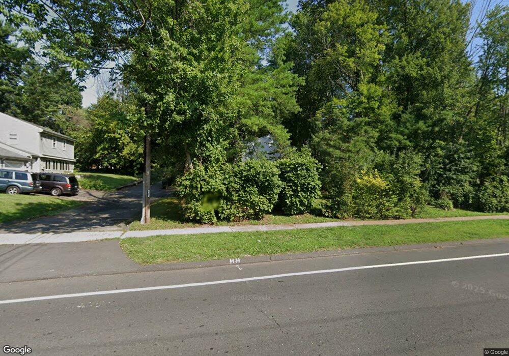
502 Main St Newington, CT 06111
Estimated Value: $351,000 - $419,752
3
Beds
3
Baths
1,288
Sq Ft
$310/Sq Ft
Est. Value
About This Home
This home is located at 502 Main St, Newington, CT 06111 and is currently estimated at $398,688, approximately $309 per square foot. 502 Main St is a home located in Hartford County with nearby schools including Elizabeth Green School, Martin Kellogg Middle School, and Newington High School.
Ownership History
Date
Name
Owned For
Owner Type
Purchase Details
Closed on
Mar 2, 2022
Sold by
Tekula Joan M
Bought by
Joan M Tekula Ret
Current Estimated Value
Purchase Details
Closed on
Aug 8, 1997
Sold by
Burt Charles G and Burt Jean K
Bought by
Sheffield Edward D and Sheffield Anne P
Home Financials for this Owner
Home Financials are based on the most recent Mortgage that was taken out on this home.
Original Mortgage
$108,000
Interest Rate
8%
Mortgage Type
Unknown
Create a Home Valuation Report for This Property
The Home Valuation Report is an in-depth analysis detailing your home's value as well as a comparison with similar homes in the area
Home Values in the Area
Average Home Value in this Area
Purchase History
| Date | Buyer | Sale Price | Title Company |
|---|---|---|---|
| Joan M Tekula Ret | -- | None Available | |
| Sheffield Edward D | $132,270 | -- |
Source: Public Records
Mortgage History
| Date | Status | Borrower | Loan Amount |
|---|---|---|---|
| Previous Owner | Sheffield Edward D | $147,200 | |
| Previous Owner | Sheffield Edward D | $108,000 | |
| Previous Owner | Sheffield Edward D | $22,432 | |
| Previous Owner | Sheffield Edward D | $25,000 |
Source: Public Records
Tax History Compared to Growth
Tax History
| Year | Tax Paid | Tax Assessment Tax Assessment Total Assessment is a certain percentage of the fair market value that is determined by local assessors to be the total taxable value of land and additions on the property. | Land | Improvement |
|---|---|---|---|---|
| 2024 | $6,832 | $172,230 | $55,690 | $116,540 |
| 2023 | $6,607 | $172,230 | $55,690 | $116,540 |
| 2022 | $6,629 | $172,230 | $55,690 | $116,540 |
| 2021 | $6,684 | $172,230 | $55,690 | $116,540 |
| 2020 | $6,410 | $163,180 | $53,550 | $109,630 |
| 2019 | $6,437 | $163,180 | $53,550 | $109,630 |
| 2018 | $6,282 | $163,180 | $53,550 | $109,630 |
| 2017 | $5,971 | $163,180 | $53,550 | $109,630 |
| 2016 | $5,834 | $163,180 | $53,550 | $109,630 |
| 2014 | $5,861 | $168,570 | $53,520 | $115,050 |
Source: Public Records
Map
Nearby Homes
- 28 Kirkham St
- 193 Connecticut Ave
- 20 Dogwood Ln
- 249 Connecticut Ave
- 846 Main St
- 105 Gilbert Rd
- 27 Harding Ave
- 35 Harding Ave
- 46 Millbrook Ct Unit 46
- 57 Welles Dr
- 73 Camp Ave
- 140 Camp Ave
- 37 Commonwealth Ave
- 377 Connecticut Ave
- 36 Hartt Ln
- 405 Connecticut Ave
- 68 Piper Brook Ave
- 70 Cedar Ridge Rd
- 250 Cedar St
- 47 Francis Dr