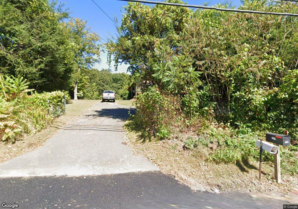
502 Morgan Rd West Springfield, MA 01089
Estimated Value: $330,606 - $383,000
3
Beds
1
Bath
1,491
Sq Ft
$241/Sq Ft
Est. Value
About This Home
This home is located at 502 Morgan Rd, West Springfield, MA 01089 and is currently estimated at $358,902, approximately $240 per square foot. 502 Morgan Rd is a home located in Hampden County with nearby schools including West Springfield High School, Hampden Charter School of Science West, and St Thomas The Apostle School.
Create a Home Valuation Report for This Property
The Home Valuation Report is an in-depth analysis detailing your home's value as well as a comparison with similar homes in the area
Home Values in the Area
Average Home Value in this Area
Tax History
| Year | Tax Paid | Tax Assessment Tax Assessment Total Assessment is a certain percentage of the fair market value that is determined by local assessors to be the total taxable value of land and additions on the property. | Land | Improvement |
|---|---|---|---|---|
| 2025 | $4,387 | $295,000 | $136,200 | $158,800 |
| 2024 | $4,388 | $296,300 | $136,200 | $160,100 |
| 2023 | $4,126 | $265,500 | $136,200 | $129,300 |
| 2022 | $3,778 | $239,700 | $124,500 | $115,200 |
| 2021 | $3,465 | $205,000 | $103,200 | $101,800 |
| 2020 | $3,480 | $204,800 | $103,200 | $101,600 |
| 2019 | $3,473 | $204,800 | $103,200 | $101,600 |
| 2018 | $3,492 | $204,800 | $103,200 | $101,600 |
| 2017 | $3,492 | $204,800 | $103,200 | $101,600 |
| 2016 | $3,423 | $201,500 | $97,800 | $103,700 |
| 2015 | $3,354 | $197,400 | $95,700 | $101,700 |
| 2014 | $814 | $197,400 | $95,700 | $101,700 |
Source: Public Records
Map
Nearby Homes
- 24 Circle Dr
- 300 Circle Dr
- 0 Ahiska Rd Unit 73477754
- 25 Piper Cross Rd
- 36 Shady Brook
- 38 Shady Brook
- 1211 Piper Rd
- 71 Jennifer Dr
- 72 Paulson Dr
- 1318 Piper Rd
- 2 Windpath E
- 543 Amostown Rd
- 1193 Amostown Rd
- 125 Lennys Way
- 51 Lantern Ln
- 13 Parkwood Dr
- 80 Brush Hill Ave Unit 65
- 80 Brush Hill Ave Unit 51
- 80 Brush Hill Ave Unit 40
- 256 Morton St
Your Personal Tour Guide
Ask me questions while you tour the home.