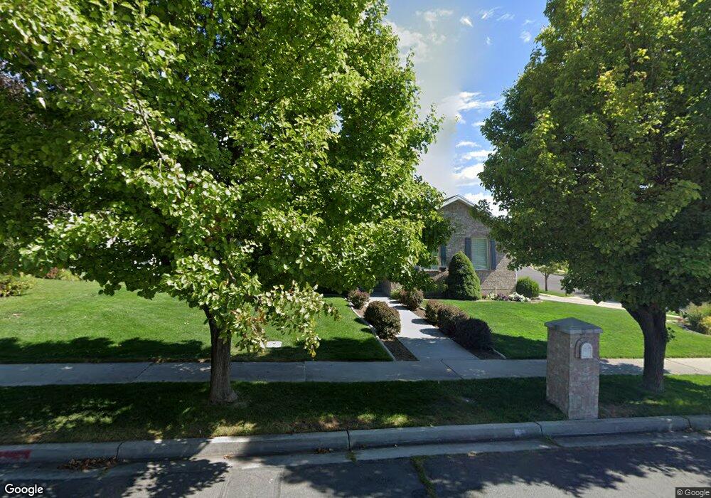
502 N 650 W American Fork, UT 84003
Estimated Value: $569,030 - $580,000
3
Beds
3
Baths
1,378
Sq Ft
$417/Sq Ft
Est. Value
About This Home
This home is located at 502 N 650 W, American Fork, UT 84003 and is currently estimated at $574,758, approximately $417 per square foot. 502 N 650 W is a home located in Utah County with nearby schools including Shelley Elementary School, American Fork Junior High School, and American Fork High School.
Ownership History
Date
Name
Owned For
Owner Type
Purchase Details
Closed on
Nov 14, 2022
Sold by
Cordner Steven
Bought by
Steven And Kathy Cordner Living Trust
Current Estimated Value
Purchase Details
Closed on
Nov 9, 2012
Sold by
Cordner Steven L and Cordner Kathy Curtis
Bought by
Cordner Steven and Cordner Kathy C
Home Financials for this Owner
Home Financials are based on the most recent Mortgage that was taken out on this home.
Original Mortgage
$168,800
Interest Rate
3.34%
Mortgage Type
New Conventional
Purchase Details
Closed on
Jan 27, 2000
Sold by
Van Buren Construction Inc
Bought by
Cordner Steveb L and Cordner Kathy Curtis
Home Financials for this Owner
Home Financials are based on the most recent Mortgage that was taken out on this home.
Original Mortgage
$155,100
Interest Rate
7.87%
Mortgage Type
Seller Take Back
Create a Home Valuation Report for This Property
The Home Valuation Report is an in-depth analysis detailing your home's value as well as a comparison with similar homes in the area
Home Values in the Area
Average Home Value in this Area
Purchase History
| Date | Buyer | Sale Price | Title Company |
|---|---|---|---|
| Steven And Kathy Cordner Living Trust | -- | -- | |
| Cordner Steven | -- | Access Title Co | |
| Cordner Steveb L | -- | First American Title Co |
Source: Public Records
Mortgage History
| Date | Status | Borrower | Loan Amount |
|---|---|---|---|
| Previous Owner | Cordner Steven | $168,800 | |
| Previous Owner | Cordner Steveb L | $155,100 |
Source: Public Records
Tax History Compared to Growth
Tax History
| Year | Tax Paid | Tax Assessment Tax Assessment Total Assessment is a certain percentage of the fair market value that is determined by local assessors to be the total taxable value of land and additions on the property. | Land | Improvement |
|---|---|---|---|---|
| 2025 | $2,485 | $298,870 | $218,800 | $324,600 |
| 2024 | $2,485 | $276,155 | $0 | $0 |
| 2023 | $2,334 | $274,890 | $0 | $0 |
| 2022 | $2,556 | $297,110 | $0 | $0 |
| 2021 | $2,191 | $397,900 | $157,000 | $240,900 |
| 2020 | $2,051 | $361,200 | $140,200 | $221,000 |
| 2019 | $1,878 | $342,000 | $129,700 | $212,300 |
| 2018 | $1,765 | $307,300 | $122,700 | $184,600 |
| 2017 | $1,679 | $157,795 | $0 | $0 |
| 2016 | $1,695 | $148,005 | $0 | $0 |
| 2015 | $1,640 | $135,905 | $0 | $0 |
| 2014 | $1,471 | $120,285 | $0 | $0 |
Source: Public Records
Map
Nearby Homes
- 641 N 420 W
- 777 W State Rd
- 962 N 780 St W Unit 508
- 974 N 780 St W Unit 509
- 916 N 780 St W Unit 501
- 356 N 480 W
- 822 W 800 St N Unit LOT319
- 602 W 860 N
- 540 N 300 W
- 822 N 860 W Unit 317
- 399 W Pacific Dr
- 370 W Pacific Dr Unit 1
- 914 N 400 W Unit A
- 3889 W 950 Cir N Unit 366
- 987 N 410 W
- 901 N Lakota Rd
- 782 N 200 W
- 3935 W 1000 N Unit 438
- 3983 W 1000 N Unit 442
- 4007 W 1000 N