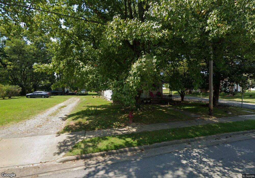
502 N Mill St Carrier Mills, IL 62917
Estimated Value: $54,000 - $68,000
--
Bed
--
Bath
--
Sq Ft
10,019
Sq Ft Lot
About This Home
This home is located at 502 N Mill St, Carrier Mills, IL 62917 and is currently estimated at $61,418. 502 N Mill St is a home with nearby schools including Carrier Mills-Stonefort Elementary School and Carrier Mills-Stonefort High School.
Ownership History
Date
Name
Owned For
Owner Type
Purchase Details
Closed on
Nov 20, 2024
Sold by
Baize Janet R and Oliverbiehl Sharine
Bought by
Mays Patricia A
Current Estimated Value
Purchase Details
Closed on
Oct 3, 2022
Sold by
Parks Jeffrey T and Parks Kristina S
Bought by
Baize Janet R and Oliver-Biehl Sharine A
Purchase Details
Closed on
Jul 5, 2011
Sold by
Miller Greg and Miller Debbie
Bought by
Parks Jeffrey T and Parks Kristina A
Create a Home Valuation Report for This Property
The Home Valuation Report is an in-depth analysis detailing your home's value as well as a comparison with similar homes in the area
Home Values in the Area
Average Home Value in this Area
Purchase History
| Date | Buyer | Sale Price | Title Company |
|---|---|---|---|
| Mays Patricia A | -- | None Listed On Document | |
| Mays Patricia A | -- | None Listed On Document | |
| Baize Janet R | $51,000 | -- | |
| Baize Janet R | $51,000 | None Listed On Document | |
| Parks Jeffrey T | $25,000 | Accommodation |
Source: Public Records
Tax History Compared to Growth
Tax History
| Year | Tax Paid | Tax Assessment Tax Assessment Total Assessment is a certain percentage of the fair market value that is determined by local assessors to be the total taxable value of land and additions on the property. | Land | Improvement |
|---|---|---|---|---|
| 2023 | $1,089 | $17,395 | $1,505 | $15,890 |
| 2022 | $594 | $12,077 | $1,400 | $10,677 |
| 2021 | $508 | $10,979 | $1,273 | $9,706 |
| 2020 | $460 | $10,650 | $1,235 | $9,415 |
| 2019 | $471 | $10,650 | $1,235 | $9,415 |
| 2018 | $481 | $10,650 | $1,235 | $9,415 |
| 2017 | $491 | $10,650 | $1,235 | $9,415 |
| 2016 | $4 | $10,650 | $1,235 | $9,415 |
| 2015 | -- | $10,650 | $1,235 | $9,415 |
| 2014 | $313 | $9,510 | $1,235 | $8,275 |
| 2013 | $313 | $9,510 | $1,235 | $8,275 |
| 2012 | $313 | $9,510 | $1,235 | $8,275 |
Source: Public Records
Map
Nearby Homes
- 603 N Main St
- 437 N Thompson St
- 205 W Washington St
- 315 W Furlong St
- 720 N Mill St
- 518 Fife St
- 736 N Mill St
- 104 Deborann Dr
- 109 Delanor Dr
- 1501 Duncan Rd
- 1501 Duncan Rd
- 0 Frond Rd Unit Lot WP001
- 002 Robinson Hill Rd
- 000 Robinson Hill Rd
- 001 Robinson Hill Rd
- 0 Rock Hole Rd
- 315 Lighthouse Rd
- 7034 Parks Ln
- 3590 Tuller Rd
- 615 Liberty Rd