Estimated Value: $191,000 - $271,000
3
Beds
2
Baths
1,092
Sq Ft
$203/Sq Ft
Est. Value
About This Home
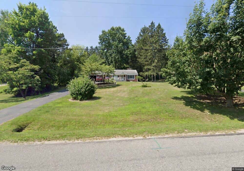
This home is located at 502 N Philip Rd, Niles, MI 49120 and is currently estimated at $221,836, approximately $203 per square foot. 502 N Philip Rd is a home located in Berrien County with nearby schools including Ballard Elementary School, Oak Manor Sixth Grade Center, and Ring Lardner Middle School.
Ownership History
Date
Name
Owned For
Owner Type
Purchase Details
Closed on
Jul 29, 2022
Sold by
Coulter Susan L
Bought by
Susan L Coulter Living Trust
Current Estimated Value
Purchase Details
Closed on
Nov 14, 2018
Sold by
Barrett Edward L and Barrett Marylyn W
Bought by
Barrett Edward L and Zandarsk Susan L
Purchase Details
Closed on
Oct 27, 1988
Purchase Details
Closed on
Jun 11, 1983
Create a Home Valuation Report for This Property
The Home Valuation Report is an in-depth analysis detailing your home's value as well as a comparison with similar homes in the area
Home Values in the Area
Average Home Value in this Area
Purchase History
| Date | Buyer | Sale Price | Title Company |
|---|---|---|---|
| Susan L Coulter Living Trust | -- | Rice & Rice | |
| Barrett Edward L | -- | None Available | |
| -- | $48,000 | -- | |
| -- | $43,200 | -- |
Source: Public Records
Tax History Compared to Growth
Tax History
| Year | Tax Paid | Tax Assessment Tax Assessment Total Assessment is a certain percentage of the fair market value that is determined by local assessors to be the total taxable value of land and additions on the property. | Land | Improvement |
|---|---|---|---|---|
| 2025 | $1,768 | $109,600 | $0 | $0 |
| 2024 | $652 | $100,600 | $0 | $0 |
| 2023 | $621 | $81,200 | $0 | $0 |
| 2022 | $592 | $74,000 | $0 | $0 |
| 2021 | $1,479 | $72,700 | $10,700 | $62,000 |
| 2020 | $1,459 | $67,100 | $0 | $0 |
| 2019 | $1,433 | $62,800 | $10,700 | $52,100 |
| 2018 | $1,366 | $62,800 | $0 | $0 |
| 2017 | $1,355 | $61,800 | $0 | $0 |
| 2016 | $1,319 | $57,800 | $0 | $0 |
| 2015 | $1,315 | $57,100 | $0 | $0 |
| 2014 | $516 | $56,700 | $0 | $0 |
Source: Public Records
Map
Nearby Homes
- 209 N Philip Rd
- 824 N Philip Rd
- 117 N Fairview Ave
- 1836 Platt St
- 219 Arlington Ln
- 218 Arlington Ln
- 143 Lexington Pointe Dr
- Integrity 1610 Plan at Longmeadow
- Elements 2700 Plan at Longmeadow
- 134 Turfway Park
- 1209 Morris Dr
- 103 Lexington Pointe Dr
- 537 Grant St
- 8 Marmont St
- 1639 Sioux Trail
- 110 Bridle Path Ln
- 133 Hummingbird Ln
- 124 S State St
- 139 Poppy Ct
- 98 River St
- 508 N Philip Rd
- 518 N Philip Rd
- 430 N Philip Rd
- 528 N Philip Rd
- 420 N Philip Rd
- 532 N Philip Rd
- 527 N Philip Rd
- 1619 Lykins Ln
- 405 Dublin Ln
- 435 N Philip Rd
- 416 N Philip Rd
- 1734 Platt St
- 536 N Philip Rd
- 533 N Philip Rd
- 410 N Philip Rd
- 425 N Philip Rd
- 322 Shamrock Dr
- 326 Shamrock Dr
- 540 N Philip Rd
- 539 N Philip Rd