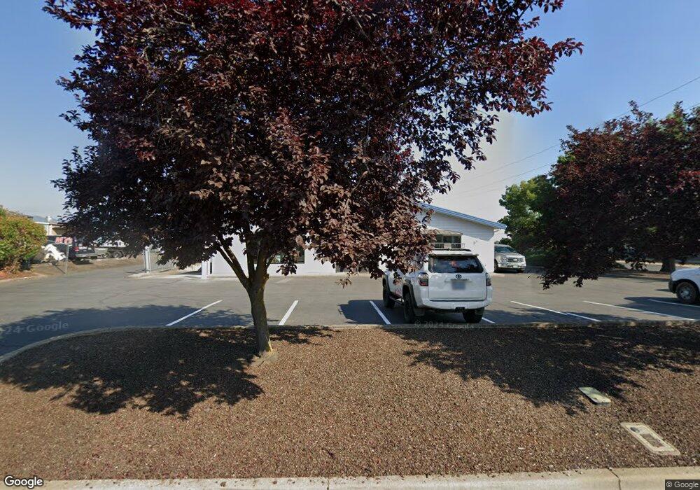
502 Parsons Dr Medford, OR 97501
Northwest Medford NeighborhoodEstimated Value: $1,193,016
--
Bed
--
Bath
4,500
Sq Ft
$265/Sq Ft
Est. Value
About This Home
This home is located at 502 Parsons Dr, Medford, OR 97501 and is currently estimated at $1,193,016, approximately $265 per square foot. 502 Parsons Dr is a home located in Jackson County with nearby schools including Oak Grove Elementary School, McLoughlin Middle School, and North Medford High School.
Ownership History
Date
Name
Owned For
Owner Type
Purchase Details
Closed on
Aug 14, 2001
Sold by
Double Dee Llc
Bought by
Davi Marilyn
Current Estimated Value
Purchase Details
Closed on
Mar 13, 2001
Sold by
Jefferson State Supply Inc
Bought by
Double Dee Llc
Home Financials for this Owner
Home Financials are based on the most recent Mortgage that was taken out on this home.
Original Mortgage
$249,000
Interest Rate
7.12%
Mortgage Type
Commercial
Purchase Details
Closed on
Jan 2, 1998
Sold by
Thomas Sanford L
Bought by
Jefferson State Supply Inc
Purchase Details
Closed on
Nov 14, 1997
Sold by
Thomas Jobeth
Bought by
Thomas Sanford L
Create a Home Valuation Report for This Property
The Home Valuation Report is an in-depth analysis detailing your home's value as well as a comparison with similar homes in the area
Home Values in the Area
Average Home Value in this Area
Purchase History
| Date | Buyer | Sale Price | Title Company |
|---|---|---|---|
| Davi Marilyn | $480,000 | First American Title Ins Co | |
| Double Dee Llc | $418,821 | Crater Title Insurance | |
| Jefferson State Supply Inc | $300,000 | Jackson County Title | |
| Thomas Sanford L | -- | -- |
Source: Public Records
Mortgage History
| Date | Status | Borrower | Loan Amount |
|---|---|---|---|
| Previous Owner | Double Dee Llc | $249,000 |
Source: Public Records
Tax History Compared to Growth
Tax History
| Year | Tax Paid | Tax Assessment Tax Assessment Total Assessment is a certain percentage of the fair market value that is determined by local assessors to be the total taxable value of land and additions on the property. | Land | Improvement |
|---|---|---|---|---|
| 2025 | $4,838 | $333,580 | $105,890 | $227,690 |
| 2024 | $4,838 | $323,870 | $102,810 | $221,060 |
| 2023 | $4,690 | $314,440 | $99,820 | $214,620 |
| 2022 | $4,575 | $314,440 | $99,820 | $214,620 |
| 2021 | $4,457 | $305,290 | $96,920 | $208,370 |
| 2020 | $4,363 | $296,400 | $94,100 | $202,300 |
| 2019 | $4,260 | $279,390 | $88,700 | $190,690 |
| 2018 | $4,150 | $271,260 | $86,120 | $185,140 |
| 2017 | $4,075 | $271,260 | $86,120 | $185,140 |
| 2016 | $4,102 | $255,690 | $81,170 | $174,520 |
| 2015 | $3,943 | $255,690 | $81,170 | $174,520 |
| 2014 | $3,874 | $241,020 | $76,510 | $164,510 |
Source: Public Records
Map
Nearby Homes
- 1129 Pinecroft Ave
- 873 Mindy Sue
- 0 Rossanley Dr Unit D 220175528
- 925 Carol Rae
- 639 Darla Mae
- 720 Hedy Jayne
- 722 Dahl Place Unit 17
- 729 Dahl Place Unit 5
- 705 Tawn Cheree
- 760 Nicholas Lee Dr
- 1916 Elm Ave
- 2435 Stearns Way
- 552 Haven St
- 1049 Beatty St
- 517 Western Ave Unit 17-20
- 672 Heber Ln
- 425 N Columbus Ave
- 931 Highbury Dr
- 410 Kenwood Ave
- 341 Haven St
- 1501 Sage Rd Unit A
- 1501 Sage A Rd
- 506 Parsons Dr
- 532 Parsons Dr Unit 102
- 1505 Sage Rd Unit A
- 1505 Sage Rd
- 1507 Sage 1509 Rd
- 1507 Sage Rd Unit C
- 1507 Sage Rd Unit 1-8
- 1507 Sage Rd Unit A
- 1507 Sage Rd
- 542 Parsons Dr
- 1509 Sage Rd
- 1509 Sage Rd Unit A
- 1509 Sage Rd Unit C
- 1509 Sage Rd Unit D
- 562 Parsons Dr Unit 104
- 562 Parsons Dr Unit 113
- 562 Parsons Dr Unit 103
- 562 Parsons Dr