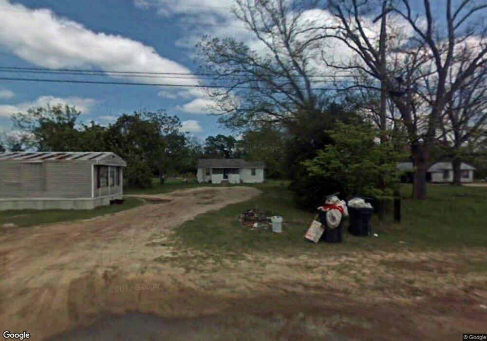
502 Railroad St N Broxton, GA 31519
Estimated Value: $56,000 - $129,000
--
Bed
--
Bath
1,507
Sq Ft
$59/Sq Ft
Est. Value
About This Home
This home is located at 502 Railroad St N, Broxton, GA 31519 and is currently estimated at $88,742, approximately $58 per square foot. 502 Railroad St N is a home with nearby schools including Broxton-Mary Hayes Elementary School, Coffee Middle School, and Coffee County High School.
Ownership History
Date
Name
Owned For
Owner Type
Purchase Details
Closed on
Jan 31, 2017
Sold by
Mcquaig Tommie Jean
Bought by
Porter Marlene
Current Estimated Value
Home Financials for this Owner
Home Financials are based on the most recent Mortgage that was taken out on this home.
Original Mortgage
$57,931
Outstanding Balance
$47,964
Interest Rate
4.2%
Mortgage Type
FHA
Estimated Equity
$40,778
Purchase Details
Closed on
Dec 10, 2016
Sold by
Ann Barbara
Bought by
Mcquaig Tommie Jean
Home Financials for this Owner
Home Financials are based on the most recent Mortgage that was taken out on this home.
Original Mortgage
$57,931
Outstanding Balance
$47,964
Interest Rate
4.2%
Mortgage Type
FHA
Estimated Equity
$40,778
Purchase Details
Closed on
Nov 10, 2015
Sold by
Smith Appie Nevada
Bought by
Lane Barbara Ann and Mcquaig Tommie Jean
Create a Home Valuation Report for This Property
The Home Valuation Report is an in-depth analysis detailing your home's value as well as a comparison with similar homes in the area
Home Values in the Area
Average Home Value in this Area
Purchase History
| Date | Buyer | Sale Price | Title Company |
|---|---|---|---|
| Porter Marlene | $59,000 | -- | |
| Mcquaig Tommie Jean | -- | -- | |
| Lane Barbara Ann | -- | -- |
Source: Public Records
Mortgage History
| Date | Status | Borrower | Loan Amount |
|---|---|---|---|
| Open | Porter Marlene | $57,931 |
Source: Public Records
Tax History Compared to Growth
Tax History
| Year | Tax Paid | Tax Assessment Tax Assessment Total Assessment is a certain percentage of the fair market value that is determined by local assessors to be the total taxable value of land and additions on the property. | Land | Improvement |
|---|---|---|---|---|
| 2024 | $409 | $12,368 | $1,386 | $10,982 |
| 2023 | $359 | $12,368 | $1,386 | $10,982 |
| 2022 | $391 | $12,368 | $1,386 | $10,982 |
| 2021 | $391 | $12,368 | $1,386 | $10,982 |
| 2020 | $391 | $12,368 | $1,386 | $10,982 |
| 2019 | $391 | $12,368 | $1,386 | $10,982 |
| 2018 | $392 | $12,368 | $1,386 | $10,982 |
| 2017 | $393 | $12,368 | $1,386 | $10,982 |
| 2016 | $199 | $12,368 | $1,386 | $10,982 |
| 2015 | $199 | $12,368 | $1,386 | $10,982 |
| 2014 | $199 | $12,368 | $1,386 | $10,982 |
Source: Public Records
Map
Nearby Homes
- 504 Miller Ave
- 1020 Alabama St N
- 714 Fitzgerald Hwy
- 744 Lotts Crossing
- 4653 Douglas Braxton Hwy
- 407 Broxton West Green Hwy
- 310 Leyland Dr
- 2002 Apache Trail
- 5495 Cross Rd
- 699 Twin Lakes Dr
- 161 Green Tree Dr
- 1671 Warren Carter Rd
- 126 Oscar Patton Estates
- 3459 Douglas Broxton Hwy (North Hwy 441)
- 3751 Douglas Braxton Hwy
- 3459 Douglas Braxton Hwy
- 550 Isaac Brigmond Rd
- 0 Hwy 301 Hwy Unit 1635753
- 00 Rocky Pond Rd
- 1428 Cross Rd
- 504 Railroad St N
- 500 Railroad St N
- 506 Railroad St N
- 503 Railroad St N
- 505 Railroad St N
- 412 Leggett St E
- 501 Railroad St N
- 505 Miller Ave
- 600 Railroad St N
- 410 Railroad St N
- 608 N Alabama St
- 509 Miller Ave
- 401 Railroad St N
- 500 Miller Ave
- 101 Leggett St
- 605 Alabama St N
- 605 Miller Ave
- 500 Alabama St N
- 701 Alabama St N
- 406 Miller Ave