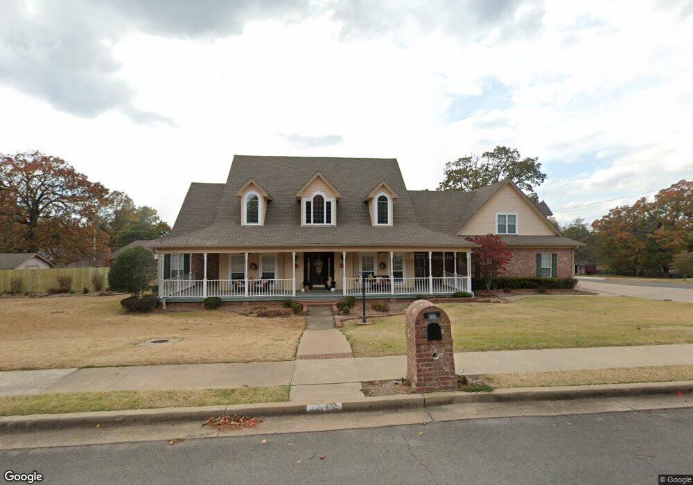
502 Ransten Dr Tahlequah, OK 74464
4
Beds
5
Baths
4,187
Sq Ft
--
Built
About This Home
This home is located at 502 Ransten Dr, Tahlequah, OK 74464. 502 Ransten Dr is a home located in Cherokee County.
Ownership History
Date
Name
Owned For
Owner Type
Purchase Details
Closed on
Oct 11, 2019
Sold by
Carter Alan C and Mcqueen Paula K
Bought by
Mcdonald Robert H and Mcdonald Leigh K
Home Financials for this Owner
Home Financials are based on the most recent Mortgage that was taken out on this home.
Original Mortgage
$342,000
Outstanding Balance
$298,284
Interest Rate
3.5%
Purchase Details
Closed on
Nov 21, 2003
Sold by
Brendex, Inc
Bought by
Alan and Paula Mcqueen
Purchase Details
Closed on
Dec 21, 1998
Sold by
Vicki A Younger
Bought by
Brendex, Inc
Create a Home Valuation Report for This Property
The Home Valuation Report is an in-depth analysis detailing your home's value as well as a comparison with similar homes in the area
Home Values in the Area
Average Home Value in this Area
Purchase History
| Date | Buyer | Sale Price | Title Company |
|---|---|---|---|
| Mcdonald Robert H | $360,000 | Infinity Title | |
| Alan | $355,000 | -- | |
| Brendex, Inc | $43,000 | -- |
Source: Public Records
Mortgage History
| Date | Status | Borrower | Loan Amount |
|---|---|---|---|
| Open | Mcdonald Robert H | $342,000 |
Source: Public Records
Tax History Compared to Growth
Tax History
| Year | Tax Paid | Tax Assessment Tax Assessment Total Assessment is a certain percentage of the fair market value that is determined by local assessors to be the total taxable value of land and additions on the property. | Land | Improvement |
|---|---|---|---|---|
| 2025 | $3,940 | $43,659 | $5,288 | $38,371 |
| 2024 | $3,940 | $41,580 | $5,036 | $36,544 |
| 2023 | $3,940 | $39,600 | $4,895 | $34,705 |
| 2022 | $3,674 | $39,600 | $4,895 | $34,705 |
| 2021 | $3,688 | $39,600 | $4,895 | $34,705 |
| 2020 | $3,754 | $39,600 | $4,895 | $34,705 |
| 2019 | $4,315 | $45,925 | $6,001 | $39,924 |
| 2018 | $4,444 | $46,746 | $6,001 | $40,745 |
| 2017 | $4,300 | $45,316 | $5,807 | $39,509 |
| 2016 | $4,120 | $43,158 | $4,933 | $38,225 |
| 2015 | $3,685 | $41,103 | $5,318 | $35,785 |
| 2014 | $3,685 | $39,145 | $6,600 | $32,545 |
Source: Public Records
Map
Nearby Homes
- 104 Tommye Ln
- 605 S Oak Ave
- 720 S East Ave
- 200 Remington Place
- 103 S Harrison Ave
- 508 Covington Place
- 101 S Harrison Ave
- 0 S Hwy 82 A Hwy Unit 2532332
- 111 N Logan Dr
- 215 S Maple Ave
- 725 Sooner Dr
- 413 Greenwood Dr
- 1005 Kaufman Ave
- 702 Wilson Ave
- 403 S Bluff Ave
- 201 Sandy Cir
- 204 Woodhaven Ave
- 1105 S Maple Ave
- 609 E Ward St
- 952 Edgewater
- 502 Ransten St
- 509 Ransten Dr
- 0 Ransten Dr
- null Ransten Dr
- null Ransten Dr
- 510 Ransten Dr
- 706 E Ross St
- 506 Ransten St
- 501 Forest Ridge Dr
- 709 E Ross St
- 505 Forest Ridge Dr
- 712 E Ross St
- 505 Ransten St
- 0 Forest Ridge Dr
- 99834 Forest Ridge Dr
- 37598 Forest Ridge Dr
- null Forest Ridge Dr
- 508 Ransten St
- 711 E Ross St
- 705 E Ross St