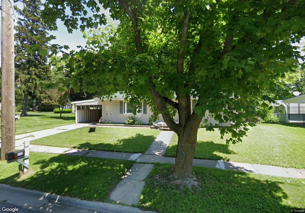
502 Riverside Ave Unit RIVER SIDE Adrian, MI 49221
Estimated Value: $166,000 - $201,000
3
Beds
1
Bath
1,056
Sq Ft
$170/Sq Ft
Est. Value
About This Home
This home is located at 502 Riverside Ave Unit RIVER SIDE, Adrian, MI 49221 and is currently estimated at $180,029, approximately $170 per square foot. 502 Riverside Ave Unit RIVER SIDE is a home located in Lenawee County with nearby schools including Adrian High School, Berean Baptist Academy, and St. Joseph Academy.
Ownership History
Date
Name
Owned For
Owner Type
Purchase Details
Closed on
Jun 3, 2015
Sold by
Navarro David L and Navarro Kathryn Ann
Bought by
Carter Gary M
Current Estimated Value
Home Financials for this Owner
Home Financials are based on the most recent Mortgage that was taken out on this home.
Original Mortgage
$80,514
Outstanding Balance
$64,503
Interest Rate
4.75%
Mortgage Type
FHA
Estimated Equity
$115,526
Purchase Details
Closed on
Mar 18, 2005
Sold by
Navarro David L and Navarro Ronald J
Bought by
Navarro David L
Create a Home Valuation Report for This Property
The Home Valuation Report is an in-depth analysis detailing your home's value as well as a comparison with similar homes in the area
Home Values in the Area
Average Home Value in this Area
Purchase History
| Date | Buyer | Sale Price | Title Company |
|---|---|---|---|
| Carter Gary M | $82,000 | Prestige Title Insurance Age | |
| Navarro David L | -- | None Available |
Source: Public Records
Mortgage History
| Date | Status | Borrower | Loan Amount |
|---|---|---|---|
| Open | Carter Gary M | $80,514 |
Source: Public Records
Tax History
| Year | Tax Paid | Tax Assessment Tax Assessment Total Assessment is a certain percentage of the fair market value that is determined by local assessors to be the total taxable value of land and additions on the property. | Land | Improvement |
|---|---|---|---|---|
| 2025 | $2,502 | $83,800 | $0 | $0 |
| 2024 | $21 | $76,300 | $0 | $0 |
| 2023 | $2,703 | $69,200 | $0 | $0 |
| 2022 | $2,212 | $61,700 | $0 | $0 |
| 2021 | $2,174 | $58,000 | $0 | $0 |
| 2020 | $2,067 | $54,800 | $0 | $0 |
| 2019 | $131,291 | $49,100 | $0 | $0 |
| 2018 | $2,100 | $53,986 | $0 | $0 |
| 2017 | $1,904 | $45,033 | $0 | $0 |
| 2016 | $1,889 | $43,325 | $0 | $0 |
| 2014 | -- | $41,600 | $0 | $0 |
Source: Public Records
Map
Nearby Homes
- 453 Riverside Ave
- 547 Riverside Ave
- 371 Riverside Ave
- 551 & 553 Northwestern Dr
- 710 Lakeshire Trail Unit 201E
- 770 Lakeshire Trail Unit 201 West
- 1001 Saw Mill Ct
- 1003 Saw Mill Ct
- 1005 Saw Mill Ct
- 306 Summer St
- 2550 Bent Oak Ave
- 1007 Saw Mill Ct
- 1012 Saw Mill Ct
- 1014 Saw Mill Ct
- 1018 Saw Mill Ct
- 1016 Saw Mill Ct
- 333 Greenly St
- 703 Company St
- 227 Greenly St
- 2697 Spielman Rd
- 502 Riverside Ave
- 505 Riverside Ave
- 460 Riverside Ave
- 535 Riverside Ave
- 921 Ballenberger Rd
- 534 Riverside Ave
- 915 Ballenberger Rd
- 512 Lake St
- 446 Riverside Ave
- 541 Riverside Ave
- 548 Riverside Ave
- 447 Riverside Ave
- 518 Lake St
- 518 Lake St Unit LAKE
- 554 Riverside Ave
- 441 Riverside Ave
- 553 Riverside Ave
- 519 Lake St
- 519 Lake St Unit LAKE
- 432 Riverside Ave
Your Personal Tour Guide
Ask me questions while you tour the home.