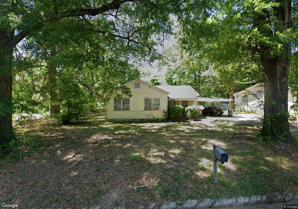
502 S Kenwood Rd Texarkana, TX 75501
Estimated Value: $92,000 - $127,053
--
Bed
--
Bath
1,200
Sq Ft
$90/Sq Ft
Est. Value
About This Home
This home is located at 502 S Kenwood Rd, Texarkana, TX 75501 and is currently estimated at $107,513, approximately $89 per square foot. 502 S Kenwood Rd is a home located in Bowie County with nearby schools including Westlawn Elementary School, Theron Jones Early Literacy Center, and Texas Middle School.
Ownership History
Date
Name
Owned For
Owner Type
Purchase Details
Closed on
Jan 25, 2018
Sold by
Nelson Wayne Dee
Bought by
Hansen Ronald L
Current Estimated Value
Home Financials for this Owner
Home Financials are based on the most recent Mortgage that was taken out on this home.
Original Mortgage
$35,000
Outstanding Balance
$8,369
Interest Rate
3.93%
Mortgage Type
Purchase Money Mortgage
Estimated Equity
$99,144
Create a Home Valuation Report for This Property
The Home Valuation Report is an in-depth analysis detailing your home's value as well as a comparison with similar homes in the area
Home Values in the Area
Average Home Value in this Area
Purchase History
| Date | Buyer | Sale Price | Title Company |
|---|---|---|---|
| Hansen Ronald L | -- | None Available |
Source: Public Records
Mortgage History
| Date | Status | Borrower | Loan Amount |
|---|---|---|---|
| Open | Hansen Ronald L | $35,000 |
Source: Public Records
Tax History Compared to Growth
Tax History
| Year | Tax Paid | Tax Assessment Tax Assessment Total Assessment is a certain percentage of the fair market value that is determined by local assessors to be the total taxable value of land and additions on the property. | Land | Improvement |
|---|---|---|---|---|
| 2025 | $1,518 | $68,971 | $10,000 | $58,971 |
| 2024 | $1,518 | $64,119 | $10,000 | $54,119 |
| 2023 | $1,424 | $60,126 | $10,000 | $50,126 |
| 2022 | $1,102 | $46,157 | $5,000 | $41,157 |
| 2021 | $1,083 | $42,364 | $5,000 | $37,364 |
| 2020 | $1,044 | $40,606 | $5,000 | $35,606 |
| 2019 | $1,038 | $38,932 | $5,000 | $33,932 |
| 2018 | $1,038 | $38,904 | $5,000 | $33,904 |
| 2017 | $1,017 | $38,249 | $5,000 | $33,249 |
| 2016 | $992 | $37,293 | $5,000 | $32,293 |
| 2015 | $931 | $37,215 | $5,000 | $32,215 |
| 2014 | $931 | $35,999 | $5,000 | $30,999 |
Source: Public Records
Map
Nearby Homes
- 0 Meadowbrook Ln
- 1703 Liddell St
- 203 Madison Dr
- 3303 New Boston Rd
- 202 S Kenwood Rd
- 3106 Meadows Dr
- 2211 N Akin Ave
- 2901 Marion St
- 826 Redwater Rd
- 810 Hawkins Ave
- 814 Elaine Dr
- 813 Elaine Dr
- TBD N Kenwood Rd
- 500 Wade Ln
- 720 Diane Dr
- 0 Belt Rd Unit 118684
- 4035 New Boston Rd
- 741 Macarthur Ave
- 702 Hawkins Ave
- 720 Macarthur Ave
- 500 S Kenwood Rd
- S Kenwood Rd
- 524 S Kenwood Rd
- 509 S Kenwood Rd
- 726 Westlawn Dr
- 420 S Kenwood Rd
- 104 Rosewood St
- 801 Westlawn Dr
- 820 Westlawn Dr
- 110 Rosewood St
- 707 Westlawn Dr
- 722 Westlawn Dr
- 807 Westlawn Dr
- 705 Westlawn Dr
- 419 S Kenwood Rd
- 423 S Kenwood Rd
- 822 Westlawn Dr
- 111 Rosewood St
- 111 Rosewood St
- 1718 S Kenwood Rd