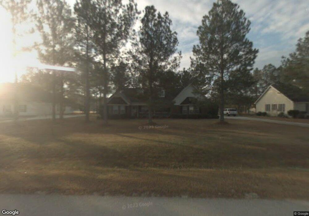
502 Saint Andrews Cir Statesboro, GA 30458
Estimated Value: $322,000 - $345,000
3
Beds
3
Baths
1,972
Sq Ft
$170/Sq Ft
Est. Value
About This Home
This home is located at 502 Saint Andrews Cir, Statesboro, GA 30458 and is currently estimated at $335,783, approximately $170 per square foot. 502 Saint Andrews Cir is a home located in Bulloch County with nearby schools including Langston Chapel Elementary School, Statesboro High School, and Langston Chapel Middle School.
Ownership History
Date
Name
Owned For
Owner Type
Purchase Details
Closed on
Sep 10, 2008
Sold by
Not Provided
Bought by
Willis Mark D and Willis Michelle C
Current Estimated Value
Home Financials for this Owner
Home Financials are based on the most recent Mortgage that was taken out on this home.
Original Mortgage
$140,030
Outstanding Balance
$93,006
Interest Rate
6.49%
Mortgage Type
New Conventional
Estimated Equity
$242,777
Purchase Details
Closed on
Oct 1, 1995
Bought by
Bradley Dudley
Create a Home Valuation Report for This Property
The Home Valuation Report is an in-depth analysis detailing your home's value as well as a comparison with similar homes in the area
Home Values in the Area
Average Home Value in this Area
Purchase History
| Date | Buyer | Sale Price | Title Company |
|---|---|---|---|
| Willis Mark D | $147,400 | -- | |
| Bradley Dudley | -- | -- |
Source: Public Records
Mortgage History
| Date | Status | Borrower | Loan Amount |
|---|---|---|---|
| Open | Willis Mark D | $140,030 |
Source: Public Records
Tax History Compared to Growth
Tax History
| Year | Tax Paid | Tax Assessment Tax Assessment Total Assessment is a certain percentage of the fair market value that is determined by local assessors to be the total taxable value of land and additions on the property. | Land | Improvement |
|---|---|---|---|---|
| 2024 | $2,363 | $107,480 | $20,800 | $86,680 |
| 2023 | $2,603 | $108,320 | $15,600 | $92,720 |
| 2022 | $1,979 | $90,522 | $11,440 | $79,082 |
| 2021 | $1,688 | $75,308 | $11,440 | $63,868 |
| 2020 | $1,635 | $72,486 | $11,440 | $61,046 |
| 2019 | $1,553 | $68,500 | $7,280 | $61,220 |
| 2018 | $1,481 | $62,840 | $7,280 | $55,560 |
| 2017 | $1,428 | $59,946 | $7,280 | $52,666 |
| 2016 | $1,406 | $57,631 | $7,280 | $50,351 |
| 2015 | $1,373 | $56,070 | $7,280 | $48,790 |
| 2014 | $1,269 | $56,070 | $7,280 | $48,790 |
Source: Public Records
Map
Nearby Homes
- 525 Saint Andrews Cir
- 112 Enclave Ct
- 101 Old Barn Rd
- 315 Shallow Well Ct
- 1503 Cayla Way
- 1300 Kermit Dr
- 1501 Cayla Way
- 149 Griffith Ln
- 126 Enclave Ct
- 1713 Muirfield Dr
- 369 Glazebrook Ave
- 367 Glazebrook Ave
- 365 Glazebrook Ave
- 357 Glazebrook Ave
- 355 Glazebrook Ave
- 412 Mayberry Way
- 610 Waverly Ln
- 512 Colquitt Ln
- 509 Colquitt Ln
- 178 Stonebrook Way
- 504 Saint Andrews Cir
- 0 St Andrews Cir Unit 29 8226716
- 0 St Andrews Cir Unit 3146788
- 0 St Andrew Cir Unit 8021199
- 0 St Andrews Cir Unit 3235363
- 0 St Andrews Cir Unit 7580906
- 0 St Andrews Cir Unit 8842989
- 0 St Andrews Cir Unit 3117300
- 0 St Andrews Cir Unit 3180816
- 0 St Andrews Cir Unit 7079572
- 0 St Andrews Cir Unit 7166022
- 0 St Andrews Cir Unit 7289927
- 0 St Andrews Cir Unit 7484549
- 0 St Andrews Cir Unit 7554252
- 0 St Andrews Cir Unit 7624191
- 0 St Andrews Cir Unit 8176666
- 0 St Andrews Cir Unit 8557565
- 0 St Andrews Cir Unit 8634283
- 0 St Andrews Cir Unit 29 8582018
- 500 Saint Andrews Cir