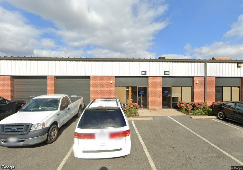
502 Shaw Rd Sterling, VA 20166
--
Bed
--
Bath
119,195
Sq Ft
10.31
Acres
About This Home
This home is located at 502 Shaw Rd, Sterling, VA 20166. 502 Shaw Rd is a home located in Loudoun County with nearby schools including Forest Grove Elementary School, Sterling Middle School, and Park View High School.
Ownership History
Date
Name
Owned For
Owner Type
Purchase Details
Closed on
Aug 29, 1996
Sold by
Tne Funding Corp
Bought by
Bdc Shaw Road Lp
Home Financials for this Owner
Home Financials are based on the most recent Mortgage that was taken out on this home.
Original Mortgage
$2,800,000
Outstanding Balance
$240,007
Interest Rate
8.18%
Mortgage Type
Commercial
Create a Home Valuation Report for This Property
The Home Valuation Report is an in-depth analysis detailing your home's value as well as a comparison with similar homes in the area
Home Values in the Area
Average Home Value in this Area
Purchase History
| Date | Buyer | Sale Price | Title Company |
|---|---|---|---|
| Bdc Shaw Road Lp | $3,600,000 | -- |
Source: Public Records
Mortgage History
| Date | Status | Borrower | Loan Amount |
|---|---|---|---|
| Open | Bdc Shaw Road Lp | $2,800,000 |
Source: Public Records
Tax History Compared to Growth
Tax History
| Year | Tax Paid | Tax Assessment Tax Assessment Total Assessment is a certain percentage of the fair market value that is determined by local assessors to be the total taxable value of land and additions on the property. | Land | Improvement |
|---|---|---|---|---|
| 2025 | $162,402 | $17,556,980 | $3,940,900 | $13,616,080 |
| 2024 | $168,423 | $16,758,540 | $3,940,900 | $12,817,640 |
| 2023 | $117,967 | $13,481,930 | $3,612,900 | $9,869,030 |
| 2022 | $114,984 | $12,919,500 | $3,284,900 | $9,634,600 |
| 2021 | $119,885 | $12,233,200 | $3,284,900 | $8,948,300 |
| 2020 | $125,124 | $12,089,270 | $3,284,900 | $8,804,370 |
| 2019 | $127,947 | $12,243,750 | $3,284,900 | $8,958,850 |
| 2018 | $125,178 | $11,537,110 | $2,956,900 | $8,580,210 |
| 2017 | $129,360 | $11,498,660 | $4,042,000 | $7,456,660 |
| 2016 | $128,267 | $11,202,390 | $0 | $0 |
| 2015 | $116,721 | $6,241,910 | $0 | $6,241,910 |
| 2014 | $110,685 | $5,765,740 | $0 | $5,765,740 |
Source: Public Records
Map
Nearby Homes
- 1043 Margate Ct Unit 1043A
- 1049A Margate Ct
- 1048A Margate Ct
- 1028A Brixton Ct
- 1048A Brixton Ct
- 1044 Brixton Ct Unit B
- 920 Windsor Ct
- 1050 Ramsgate Ct Unit C
- 45458 Oak Trail Square
- 309 Williamsburg Rd
- 1030 Salisbury Ct
- 1034 Salisbury Ct
- 314 E Staunton Ave
- 1006 S Greenthorn Ave
- 100 W Poplar Rd
- 1002 S Buckingham Rd
- 22855 Chestnut Oak Terrace
- 45481 Bluemont Junction Square
- 801 S Concord Ct
- 400 E Poplar Rd
- 1800 S Sterling Blvd
- 22685 Holiday Park Dr
- 1600 S Sterling Blvd
- 1700 S Sterling Blvd
- 45472 Holiday Dr
- 22675 Glenn Dr
- 45604 Terminal Dr
- 22605 Glenn Dr
- 22700 Holiday Park Dr
- 22648 Glenn Dr Unit 104
- 22648 Glenn Dr Unit 103
- 22648 Glenn Dr Unit 301
- 22648 Glenn Dr Unit 105
- 22648 Glenn Dr Unit 101
- 22648 Glenn Dr Unit 204
- 22648 Glenn Dr Unit 302
- 22648 Glenn Dr Unit 303
- 22648 Glenn Dr Unit 206
- 22648 Glenn Dr Unit 102
- 22648 Glenn Dr Unit 202