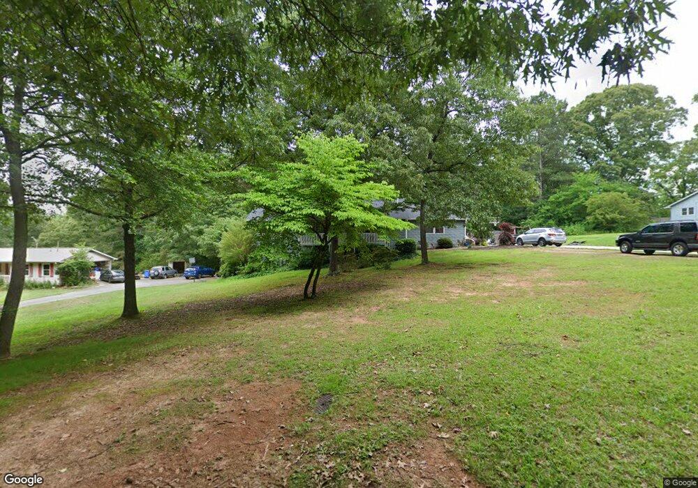
502 Stell Rd Woodstock, GA 30188
Estimated Value: $377,000 - $521,000
3
Beds
3
Baths
2,982
Sq Ft
$151/Sq Ft
Est. Value
About This Home
This home is located at 502 Stell Rd, Woodstock, GA 30188 and is currently estimated at $449,628, approximately $150 per square foot. 502 Stell Rd is a home located in Cherokee County with nearby schools including Little River Elementary, Mill Creek Middle School, and River Ridge High School.
Ownership History
Date
Name
Owned For
Owner Type
Purchase Details
Closed on
Aug 10, 2017
Sold by
Meehan Ronnie Bernard
Bought by
Roper Amanda R and Roper Roy M
Current Estimated Value
Home Financials for this Owner
Home Financials are based on the most recent Mortgage that was taken out on this home.
Original Mortgage
$166,250
Outstanding Balance
$138,323
Interest Rate
4.03%
Mortgage Type
New Conventional
Estimated Equity
$311,305
Create a Home Valuation Report for This Property
The Home Valuation Report is an in-depth analysis detailing your home's value as well as a comparison with similar homes in the area
Home Values in the Area
Average Home Value in this Area
Purchase History
| Date | Buyer | Sale Price | Title Company |
|---|---|---|---|
| Roper Amanda R | $175,000 | -- |
Source: Public Records
Mortgage History
| Date | Status | Borrower | Loan Amount |
|---|---|---|---|
| Open | Roper Amanda R | $166,250 |
Source: Public Records
Tax History Compared to Growth
Tax History
| Year | Tax Paid | Tax Assessment Tax Assessment Total Assessment is a certain percentage of the fair market value that is determined by local assessors to be the total taxable value of land and additions on the property. | Land | Improvement |
|---|---|---|---|---|
| 2025 | $3,383 | $147,916 | $33,400 | $114,516 |
| 2024 | $3,074 | $132,196 | $21,560 | $110,636 |
| 2023 | $2,676 | $133,956 | $21,560 | $112,396 |
| 2022 | $2,317 | $94,956 | $21,560 | $73,396 |
| 2021 | $2,206 | $81,956 | $21,560 | $60,396 |
| 2020 | $2,082 | $76,512 | $22,640 | $53,872 |
| 2019 | $2,069 | $75,960 | $21,560 | $54,400 |
| 2018 | $2,021 | $73,440 | $21,560 | $51,880 |
| 2017 | $2,041 | $177,100 | $22,520 | $48,320 |
| 2016 | $1,868 | $160,400 | $19,320 | $44,840 |
| 2015 | $1,823 | $155,000 | $16,560 | $45,440 |
| 2014 | $1,725 | $146,400 | $14,240 | $44,320 |
Source: Public Records
Map
Nearby Homes
- 1877 Falcon Wood Dr NE
- 156 W Oaks Place
- 205 Leland Way
- 205 Trickum Hills Ln
- 5100 Ravenwood Dr
- 134 Sierra Cir
- 314 Trickum Hills Way
- 3415 Trickum Rd
- 5009 Kingsley Manor Ct
- 202 Wild Ginger Bend
- 452 Maypop Ln
- 226 Hames Rd Unit 405
- 226 Hames Rd Unit 225
- Bramwell Plan at Havencroft
- Hendricks Plan at Havencroft
- Wynstone Plan at Havencroft
- Buckhorn Plan at Havencroft
- Worthdale Plan at Havencroft
- 504 Stell Rd
- 500 Stell Rd
- 522 W Oaks Dr
- 506 Stell Rd
- 542 W Oaks Dr
- 542 W Oaks Dr
- 516 W Oaks Dr
- 566 W Oaks Dr
- 520 W Oaks Dr
- 510 W Oaks Dr
- 540 W Oaks Dr
- 572 W Oaks Dr Unit 4B
- 546 W Oaks Dr Unit 4A
- 514 W Oaks Dr Unit 4A
- 283 Hames Rd
- 564 W Oaks Dr Unit 64E
- 564 W Oaks Dr
- 564 W Oaks Dr Unit 4B
- 504 W Oaks Dr Unit 4A
- 588 W Oaks Dr