502 Swisher Rd Staunton, VA 24401
Estimated Value: $296,000 - $416,000
3
Beds
2
Baths
1,278
Sq Ft
$281/Sq Ft
Est. Value
About This Home
This home is located at 502 Swisher Rd, Staunton, VA 24401 and is currently estimated at $358,541, approximately $280 per square foot. 502 Swisher Rd is a home located in Augusta County with nearby schools including Edward G. Clymore Elementary School, S. Gordon Stewart Middle School, and Fort Defiance High School.
Ownership History
Date
Name
Owned For
Owner Type
Purchase Details
Closed on
Dec 19, 2016
Sold by
Tadd Properties Llc A Virginia Limited L
Bought by
Stewart Loretta T
Current Estimated Value
Home Financials for this Owner
Home Financials are based on the most recent Mortgage that was taken out on this home.
Original Mortgage
$40,000
Outstanding Balance
$32,711
Interest Rate
3.94%
Mortgage Type
New Conventional
Estimated Equity
$325,830
Create a Home Valuation Report for This Property
The Home Valuation Report is an in-depth analysis detailing your home's value as well as a comparison with similar homes in the area
Home Values in the Area
Average Home Value in this Area
Purchase History
| Date | Buyer | Sale Price | Title Company |
|---|---|---|---|
| Stewart Loretta T | $240,000 | Attorney |
Source: Public Records
Mortgage History
| Date | Status | Borrower | Loan Amount |
|---|---|---|---|
| Open | Stewart Loretta T | $40,000 |
Source: Public Records
Tax History Compared to Growth
Tax History
| Year | Tax Paid | Tax Assessment Tax Assessment Total Assessment is a certain percentage of the fair market value that is determined by local assessors to be the total taxable value of land and additions on the property. | Land | Improvement |
|---|---|---|---|---|
| 2025 | $1,503 | $289,100 | $60,000 | $229,100 |
| 2024 | $1,524 | $293,000 | $60,000 | $233,000 |
| 2023 | $1,216 | $193,000 | $55,000 | $138,000 |
| 2022 | $1,216 | $193,000 | $55,000 | $138,000 |
| 2021 | $1,216 | $193,000 | $55,000 | $138,000 |
| 2020 | $1,216 | $193,000 | $55,000 | $138,000 |
| 2019 | $1,216 | $193,000 | $55,000 | $138,000 |
| 2018 | $1,130 | $179,256 | $55,000 | $124,256 |
| 2017 | $1,034 | $178,296 | $55,000 | $123,296 |
| 2016 | $261 | $45,000 | $45,000 | $0 |
| 2015 | $245 | $45,000 | $45,000 | $0 |
| 2014 | $245 | $45,000 | $45,000 | $0 |
| 2013 | $245 | $51,000 | $51,000 | $0 |
Source: Public Records
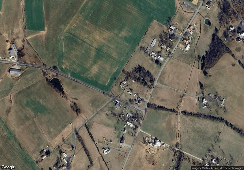
Map
Nearby Homes
- 630 Battlefield Rd
- 2106 Laurel Hill Rd
- 1493 Laurel Hill Rd
- Lot 37a Rife's Ford Rd
- Lot 75b Rife's Ford Rd
- Lot 37a1 Rife's Ford Rd
- Lot 37j Rife's Ford Rd
- Lot 10g Rife's Ford Rd
- Lot 37k Rife's Ford Rd
- Lot 75d Rife's Ford Rd
- 175 Bailey Rd
- 5 Sunderlin Place
- 6 Bingham St
- TBD Samsons Cir
- 212 Westgate Rd
- 61 Kendrick Ave
- 16 Kelford St
- 73 Bailey Rd
- 1430 E Side Hwy
- 3392 E Side Hwy
- 374 Battlefield Rd
- 505 Swisher Rd
- 522 Swisher Rd
- 346 Battlefield Rd
- 324 Battlefield Rd
- 352 Battlefield Rd
- 318 Battlefield Rd
- 392 Battlefield Rd
- 352 Battlefield Rd
- 1 Swisher Rd
- 414 Battlefield Rd
- 352 Battlefield Rd
- 426 Battlefield Rd
- 442 Battlefield Rd
- 297 Battlefield Rd
- 391 Battlefield Rd
- 457 Battlefield Rd
- 451 Battlefield Rd
- 501 Swisher Rd
- 268 Battlefield Rd