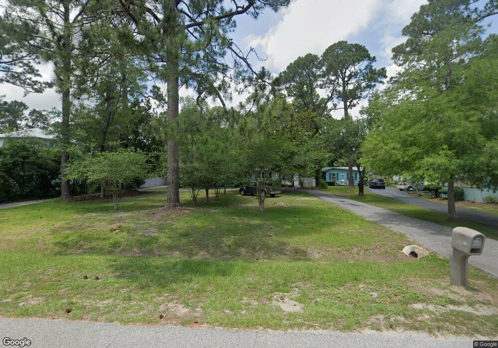
502 W Canal Dr Gulf Shores, AL 36542
Estimated Value: $614,000 - $836,000
3
Beds
2
Baths
2,144
Sq Ft
$339/Sq Ft
Est. Value
About This Home
This home is located at 502 W Canal Dr, Gulf Shores, AL 36542 and is currently estimated at $727,736, approximately $339 per square foot. 502 W Canal Dr is a home located in Baldwin County with nearby schools including Gulf Shores Elementary School, Gulf Shores Middle School, and Gulf Shores High School.
Ownership History
Date
Name
Owned For
Owner Type
Purchase Details
Closed on
Jun 17, 2025
Sold by
Demers Matthew D
Bought by
Dichiara Jimmy A
Current Estimated Value
Purchase Details
Closed on
Mar 9, 2006
Sold by
Lamb Frederick Stephen and Lamb Julia Anne
Bought by
Demers Matthew D
Home Financials for this Owner
Home Financials are based on the most recent Mortgage that was taken out on this home.
Original Mortgage
$417,000
Interest Rate
6.19%
Mortgage Type
New Conventional
Create a Home Valuation Report for This Property
The Home Valuation Report is an in-depth analysis detailing your home's value as well as a comparison with similar homes in the area
Home Values in the Area
Average Home Value in this Area
Purchase History
| Date | Buyer | Sale Price | Title Company |
|---|---|---|---|
| Dichiara Jimmy A | $274,464 | Professional Land Title | |
| Demers Matthew D | -- | None Available |
Source: Public Records
Mortgage History
| Date | Status | Borrower | Loan Amount |
|---|---|---|---|
| Previous Owner | Demers Matthew D | $417,000 |
Source: Public Records
Tax History Compared to Growth
Tax History
| Year | Tax Paid | Tax Assessment Tax Assessment Total Assessment is a certain percentage of the fair market value that is determined by local assessors to be the total taxable value of land and additions on the property. | Land | Improvement |
|---|---|---|---|---|
| 2024 | $4,648 | $140,860 | $72,120 | $68,740 |
| 2023 | $4,580 | $138,800 | $76,080 | $62,720 |
| 2022 | $3,683 | $111,620 | $0 | $0 |
| 2021 | $3,096 | $93,820 | $0 | $0 |
| 2020 | $2,914 | $88,300 | $0 | $0 |
| 2019 | $2,932 | $88,840 | $0 | $0 |
| 2018 | $2,784 | $81,860 | $0 | $0 |
| 2017 | $2,531 | $76,700 | $0 | $0 |
| 2016 | $2,264 | $68,620 | $0 | $0 |
| 2015 | -- | $69,060 | $0 | $0 |
| 2014 | -- | $68,920 | $0 | $0 |
| 2013 | -- | $67,720 | $0 | $0 |
Source: Public Records
Map
Nearby Homes
- 510 W Canal Dr
- 2605 Bienville Ave
- 2608 Chastain St
- 2617 Bienville Ave
- 578 Shepard St
- 615 Shepard St
- 449 W 22nd Ave
- 2704 Chastain St
- 0 Chastain St Unit 378999
- Lot 60 Wedgewood Dr
- 533 Wedgewood Dr
- 485 Orleans St
- 2712 Bienville Ave
- 2526 Bienville Ave
- 2540 Bienville Ave Unit 25
- 2511 Bienville Ave
- 437 Wedgewood Dr
- 417 Wedgewood Dr
- 621 Wedgewood Dr
- 662 Oleander St