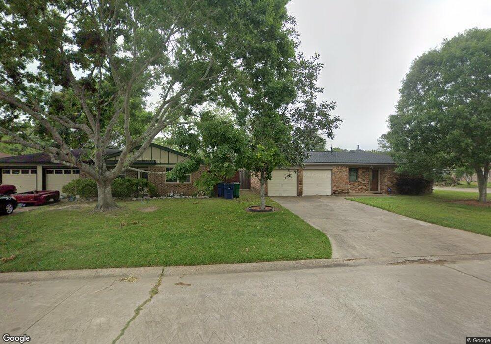
502 W Mimosa St Angleton, TX 77515
Estimated Value: $240,000 - $311,000
--
Bed
2
Baths
1,666
Sq Ft
$170/Sq Ft
Est. Value
About This Home
This home is located at 502 W Mimosa St, Angleton, TX 77515 and is currently estimated at $283,049, approximately $169 per square foot. 502 W Mimosa St is a home located in Brazoria County.
Ownership History
Date
Name
Owned For
Owner Type
Purchase Details
Closed on
Aug 14, 2003
Sold by
Tolbirt Phillip L
Bought by
Tolbirt Deborah
Current Estimated Value
Home Financials for this Owner
Home Financials are based on the most recent Mortgage that was taken out on this home.
Original Mortgage
$50,100
Interest Rate
5.51%
Mortgage Type
Credit Line Revolving
Purchase Details
Closed on
Jun 11, 1998
Sold by
Williams John Marion and Williams Barbara Ann
Bought by
Tolbirt Phillip L and Tolbirt Deborah
Create a Home Valuation Report for This Property
The Home Valuation Report is an in-depth analysis detailing your home's value as well as a comparison with similar homes in the area
Home Values in the Area
Average Home Value in this Area
Purchase History
| Date | Buyer | Sale Price | Title Company |
|---|---|---|---|
| Tolbirt Deborah | -- | -- | |
| Tolbirt Phillip L | -- | -- |
Source: Public Records
Mortgage History
| Date | Status | Borrower | Loan Amount |
|---|---|---|---|
| Closed | Tolbirt Deborah | $50,100 |
Source: Public Records
Tax History Compared to Growth
Tax History
| Year | Tax Paid | Tax Assessment Tax Assessment Total Assessment is a certain percentage of the fair market value that is determined by local assessors to be the total taxable value of land and additions on the property. | Land | Improvement |
|---|---|---|---|---|
| 2025 | $471 | $226,306 | $108,620 | $206,720 |
| 2023 | $471 | $187,030 | $83,430 | $209,580 |
| 2022 | $2,684 | $170,027 | $48,170 | $176,710 |
| 2021 | $2,591 | $154,570 | $28,670 | $125,900 |
| 2020 | $2,741 | $162,910 | $48,740 | $114,170 |
| 2019 | $2,544 | $157,980 | $47,460 | $110,520 |
| 2018 | $2,330 | $126,310 | $23,610 | $102,700 |
| 2017 | $2,354 | $126,310 | $23,610 | $102,700 |
| 2016 | $2,281 | $126,310 | $23,610 | $102,700 |
| 2015 | $1,527 | $111,270 | $19,680 | $91,590 |
| 2014 | $1,527 | $102,980 | $9,980 | $93,000 |
Source: Public Records
Map
Nearby Homes
- 338 County Road 912a
- 307 Avenue G
- 10186 County Road 400
- 549 E New York St
- 706 E New York St
- 409 Carlton St
- 523 Lazy Ln
- 4773 County Road 652
- 232 Magnolia St
- 0 Pecan Dr
- 401 E Texas St
- 229 Yaupon Dr
- 230 E New York St
- 441 County Road 849
- 519 County Road 849
- 310 E Texas St
- 145
- 1208 S Brooks St
- 34654 Fm 521 Rd
- 8922 Fm 521 Rd
- 432 County Road 912
- 433 County Road 912
- 433 Cr 912
- 418 County Road 912
- 427 County Road 912
- 409 County Road 912
- 409 Cr 912
- 334 County Road 912
- 24 Lonesome Dove
- 324 County Road 912
- 432 County Road 912a
- 15 Lonesome Dove
- 310 County Road 912
- 42 Lonesome Dove
- 550 County Road 912a
- 550 County Road 912a
- 550 County Road 912a
- 550 Cr 912a
- 435 County Road 912a
- 313 County Road 912