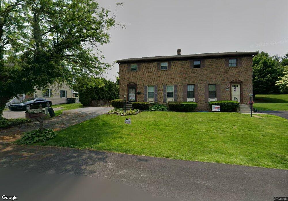
5020 Mohawk Dr Schnecksville, PA 18078
North Whitehall Township NeighborhoodEstimated Value: $284,000 - $347,000
3
Beds
3
Baths
1,440
Sq Ft
$221/Sq Ft
Est. Value
About This Home
This home is located at 5020 Mohawk Dr, Schnecksville, PA 18078 and is currently estimated at $318,597, approximately $221 per square foot. 5020 Mohawk Dr is a home located in Lehigh County with nearby schools including Schnecksville School, Orefield Middle School, and Parkland High School.
Ownership History
Date
Name
Owned For
Owner Type
Purchase Details
Closed on
Jun 24, 2002
Sold by
Scott Franklin T and Scott Janet L
Bought by
Bonner Edward T and Bonner Kimberly
Current Estimated Value
Home Financials for this Owner
Home Financials are based on the most recent Mortgage that was taken out on this home.
Original Mortgage
$114,700
Outstanding Balance
$48,498
Interest Rate
6.81%
Mortgage Type
FHA
Estimated Equity
$270,099
Purchase Details
Closed on
Sep 10, 1999
Sold by
Kuhn Lawrence E and Kuhn Marie E
Bought by
Scott Franklin T and Scott Janet L
Purchase Details
Closed on
Apr 27, 1990
Sold by
Leh Fred B
Bought by
Kuhn Lawrence E and Kuhn Marie E
Purchase Details
Closed on
Aug 28, 1987
Sold by
Leh Fred B and Leh Donna M
Bought by
Leh Fred B
Purchase Details
Closed on
Nov 21, 1986
Bought by
Leh Fred B and Leh Donna M
Create a Home Valuation Report for This Property
The Home Valuation Report is an in-depth analysis detailing your home's value as well as a comparison with similar homes in the area
Home Values in the Area
Average Home Value in this Area
Purchase History
| Date | Buyer | Sale Price | Title Company |
|---|---|---|---|
| Bonner Edward T | $116,500 | -- | |
| Scott Franklin T | $102,000 | -- | |
| Kuhn Lawrence E | $105,000 | -- | |
| Leh Fred B | -- | -- | |
| Leh Fred B | -- | -- |
Source: Public Records
Mortgage History
| Date | Status | Borrower | Loan Amount |
|---|---|---|---|
| Open | Bonner Edward T | $114,700 |
Source: Public Records
Tax History Compared to Growth
Tax History
| Year | Tax Paid | Tax Assessment Tax Assessment Total Assessment is a certain percentage of the fair market value that is determined by local assessors to be the total taxable value of land and additions on the property. | Land | Improvement |
|---|---|---|---|---|
| 2025 | $3,477 | $156,600 | $24,000 | $132,600 |
| 2024 | $3,270 | $156,600 | $24,000 | $132,600 |
| 2023 | $3,176 | $156,600 | $24,000 | $132,600 |
| 2022 | $3,162 | $156,600 | $132,600 | $24,000 |
| 2021 | $3,162 | $156,600 | $24,000 | $132,600 |
| 2020 | $3,162 | $156,600 | $24,000 | $132,600 |
| 2019 | $3,079 | $156,600 | $24,000 | $132,600 |
| 2018 | $3,018 | $156,600 | $24,000 | $132,600 |
| 2017 | $2,974 | $156,600 | $24,000 | $132,600 |
| 2016 | -- | $156,600 | $24,000 | $132,600 |
| 2015 | -- | $156,600 | $24,000 | $132,600 |
| 2014 | -- | $156,600 | $24,000 | $132,600 |
Source: Public Records
Map
Nearby Homes
- 5119 Stahley Dr
- 5033 Ancinetta Dr
- 5153 Shawnee Blvd
- 5148 Pennsylvania 873
- 5053 Lilac Dr
- 5132 Liberty Ln
- 4332 Route 309
- 3576 Neffs Laurys Rd
- 5706 Pennsylvania 873
- 5706 Route 873
- 3450 George St Unit 8
- 3462 George St Unit 6
- 4482 Valley Green Dr Unit 37
- 3456 George St Unit 7
- 4473 Valley Green Dr Unit 38
- 3444 George St Unit 9
- 5734 Route 873
- 4408 Valley Green Dr
- 5318 Chariot Dr
- 3457 George St Unit 23
- 5024 Mohawk Dr
- 5016 Mohawk Dr
- 5028 Mohawk Dr
- 5012 Mohawk Dr
- 5032 Mohawk Dr
- 5008 Mohawk Dr
- 5019 Mohawk Dr
- 5013 Mohawk Dr
- 5025 Mohawk Dr
- 5036 Mohawk Dr
- 5004 Mohawk Dr
- 5009 Mohawk Dr
- 5033 Mohawk Dr
- 5040 Mohawk Dr
- 5003 Mohawk Dr
- 5008 Shawnee Blvd
- 5041 Mohawk Dr
- 5004 Shawnee Blvd
- 5012 Shawnee Blvd
- 5044 Mohawk Dr