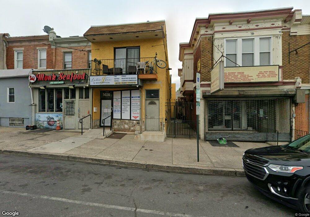
5020 N 5th St Philadelphia, PA 19120
Olney NeighborhoodEstimated Value: $326,240
--
Bed
--
Bath
2,432
Sq Ft
$134/Sq Ft
Est. Value
About This Home
This home is located at 5020 N 5th St, Philadelphia, PA 19120 and is currently estimated at $326,240, approximately $134 per square foot. 5020 N 5th St is a home located in Philadelphia County with nearby schools including Thurgood Marshall School, Birney Preparatory Academy, and Olney Charter High School.
Ownership History
Date
Name
Owned For
Owner Type
Purchase Details
Closed on
Jun 26, 2019
Sold by
Crespo John and Crespo Laura
Bought by
Hincapie David H and Quintero Silene Solis
Current Estimated Value
Home Financials for this Owner
Home Financials are based on the most recent Mortgage that was taken out on this home.
Original Mortgage
$146,250
Outstanding Balance
$65,693
Interest Rate
5.5%
Mortgage Type
Adjustable Rate Mortgage/ARM
Estimated Equity
$260,547
Purchase Details
Closed on
Dec 31, 1997
Sold by
Mccarriston Mark J
Bought by
Golasa Crespo John and Golasa Crespo Laura
Create a Home Valuation Report for This Property
The Home Valuation Report is an in-depth analysis detailing your home's value as well as a comparison with similar homes in the area
Home Values in the Area
Average Home Value in this Area
Purchase History
| Date | Buyer | Sale Price | Title Company |
|---|---|---|---|
| Hincapie David H | $195,000 | None Available | |
| Golasa Crespo John | $28,000 | -- |
Source: Public Records
Mortgage History
| Date | Status | Borrower | Loan Amount |
|---|---|---|---|
| Open | Hincapie David H | $146,250 |
Source: Public Records
Tax History Compared to Growth
Tax History
| Year | Tax Paid | Tax Assessment Tax Assessment Total Assessment is a certain percentage of the fair market value that is determined by local assessors to be the total taxable value of land and additions on the property. | Land | Improvement |
|---|---|---|---|---|
| 2025 | $2,280 | $202,200 | $40,440 | $161,760 |
| 2024 | $2,280 | $202,200 | $40,440 | $161,760 |
| 2023 | $2,280 | $162,900 | $32,580 | $130,320 |
| 2022 | $2,623 | $162,900 | $32,580 | $130,320 |
| 2021 | $2,623 | $0 | $0 | $0 |
| 2020 | $2,623 | $0 | $0 | $0 |
| 2019 | $2,598 | $0 | $0 | $0 |
| 2018 | $2,455 | $0 | $0 | $0 |
| 2017 | $2,096 | $0 | $0 | $0 |
| 2016 | $2,096 | $0 | $0 | $0 |
| 2015 | $2,006 | $0 | $0 | $0 |
| 2014 | -- | $149,700 | $19,415 | $130,285 |
Source: Public Records
Map
Nearby Homes
- 5010 N 5th St
- 515-17 W Ruscomb St
- 4937 N 5th St
- 0 Lindley Ave
- 429 W Ashdale St
- 5111 N Fairhill St
- 638 W Rockland St
- 542 W Rockland St
- 5112 N Fairhill St
- 5134 N Fairhill St
- 5149 N Fairhill St
- 520 W Duncannon Ave
- 313 Lindley Ave
- 2511 N Leithgow St
- 263 W Sulis St
- 253 W Albanus St
- 437 W Roosevelt Blvd
- 4815 N 7th St
- 194 W Roosevelt Blvd
- 258 W Sheldon St
- 5018 N 5th St
- 5016 N 5th St
- 5014 N 5th St
- 516 W Ashdale St
- 518 W Ashdale St
- 520 W Ashdale St
- 522 W Ashdale St
- 511 W Ashdale St
- 509 W Ashdale St
- 524 W Ashdale St
- 5004 N 5th St
- 513 W Ashdale St
- 526 W Ashdale St
- 515 W Ashdale St
- 5038 N 5th St
- 517 W Ashdale St
- 5002 N 5th St
- 503 W Ruscomb St
- 505 W Ruscomb St
- 528 W Ashdale St