5020 N State Highway 67 Sedalia, CO 80135
Estimated Value: $896,000 - $1,127,000
5
Beds
5
Baths
3,614
Sq Ft
$284/Sq Ft
Est. Value
About This Home
This home is located at 5020 N State Highway 67, Sedalia, CO 80135 and is currently estimated at $1,024,662, approximately $283 per square foot. 5020 N State Highway 67 is a home located in Douglas County with nearby schools including Sedalia Elementary School, Castle Rock Middle School, and Castle View High School.
Ownership History
Date
Name
Owned For
Owner Type
Purchase Details
Closed on
Jun 9, 2009
Sold by
Lund Greg W
Bought by
Clark Eric A and Clark Lou Ann
Current Estimated Value
Home Financials for this Owner
Home Financials are based on the most recent Mortgage that was taken out on this home.
Original Mortgage
$284,000
Outstanding Balance
$181,362
Interest Rate
4.97%
Mortgage Type
Unknown
Estimated Equity
$843,300
Purchase Details
Closed on
Jun 16, 2003
Sold by
Hackbarth Robert V and Hackbarth Doris R
Bought by
Lund Greg W
Home Financials for this Owner
Home Financials are based on the most recent Mortgage that was taken out on this home.
Original Mortgage
$292,500
Interest Rate
5.56%
Mortgage Type
Unknown
Purchase Details
Closed on
Aug 29, 1968
Sold by
Thomko Thomas T and Tomka Marjorie M
Bought by
Hackbarth Robert V and Hackbarth Doris R
Create a Home Valuation Report for This Property
The Home Valuation Report is an in-depth analysis detailing your home's value as well as a comparison with similar homes in the area
Home Values in the Area
Average Home Value in this Area
Purchase History
| Date | Buyer | Sale Price | Title Company |
|---|---|---|---|
| Clark Eric A | $355,000 | Title America | |
| Lund Greg W | $390,000 | First American Heritage Titl | |
| Hackbarth Robert V | $26,300 | -- |
Source: Public Records
Mortgage History
| Date | Status | Borrower | Loan Amount |
|---|---|---|---|
| Open | Clark Eric A | $284,000 | |
| Previous Owner | Lund Greg W | $292,500 |
Source: Public Records
Tax History Compared to Growth
Tax History
| Year | Tax Paid | Tax Assessment Tax Assessment Total Assessment is a certain percentage of the fair market value that is determined by local assessors to be the total taxable value of land and additions on the property. | Land | Improvement |
|---|---|---|---|---|
| 2024 | $5,528 | $71,020 | $34,170 | $36,850 |
| 2023 | $5,593 | $71,020 | $34,170 | $36,850 |
| 2022 | $4,070 | $51,380 | $26,230 | $25,150 |
| 2021 | $4,238 | $51,380 | $26,230 | $25,150 |
| 2020 | $3,822 | $47,390 | $20,220 | $27,170 |
| 2019 | $3,838 | $47,390 | $20,220 | $27,170 |
| 2018 | $3,354 | $41,200 | $17,760 | $23,440 |
| 2017 | $3,098 | $41,200 | $17,760 | $23,440 |
| 2016 | $3,194 | $41,570 | $17,910 | $23,660 |
| 2015 | $3,272 | $41,570 | $17,910 | $23,660 |
Source: Public Records
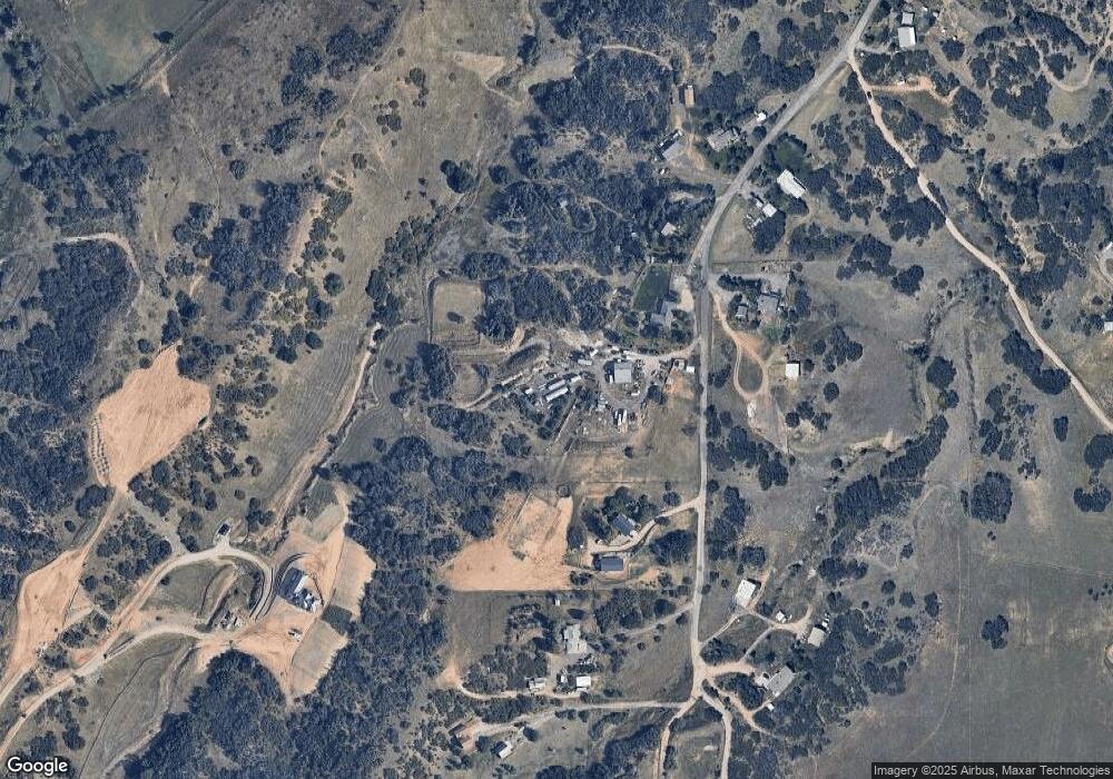
Map
Nearby Homes
- 3120 Bears Den Dr
- 3013 Bears Den Dr
- 3330 Tweet Place
- 2367 Keep Dr
- 3248 Tweet Place Unit Parcel 9
- 6751 Cherokee Dr
- 4279 Sanctuary Way
- 2810 Bartizan Ln Unit 19
- 3878 Turret Ln Unit 37
- 2814 Charlford Ln
- 5740 Lambert Ranch Trail
- 2301 Keep Dr Unit 46
- 2327 Keep Dr
- 2360 Charlford Ln Unit 60
- 6555 Meadowbrook Ln
- 7037 W Meadowbrook Ln
- 810 N Perry Park Rd
- 4985 Bear Paw Dr
- 3091 Craig Ct
- 7225 Box Canyon Rd
- 5018 N State Highway 67
- 5022 N State Highway 67
- 5023 N State Highway 67
- 5032 N State Highway 67
- 5024 N State Highway 67
- 5028 N State Highway 67
- 5028 N State Highway 67
- 5004 N State Highway 67
- 5026 N State Highway 67
- 5012 N State Highway 67
- 5036 N State Highway 67
- 5014 N State Highway 67
- 5010 N State Highway 67
- 5042 N State Highway 67
- 5003 N State Highway 67
- 4702 N State Highway 67
- 5034 N State Highway 67
- 4804 N State Highway 67
- 4804 N State Highway 67
- 5038 N State Highway 67