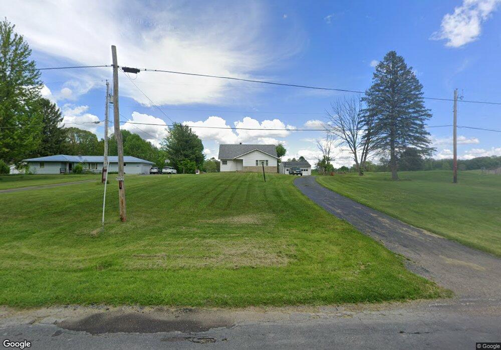
5020 Phillips Rice Rd Cortland, OH 44410
Estimated Value: $164,000 - $222,000
3
Beds
1
Bath
1,645
Sq Ft
$119/Sq Ft
Est. Value
About This Home
This home is located at 5020 Phillips Rice Rd, Cortland, OH 44410 and is currently estimated at $195,198, approximately $118 per square foot. 5020 Phillips Rice Rd is a home located in Trumbull County with nearby schools including Maplewood Middle School, Maplewood Elementary School, and Maplewood High School.
Ownership History
Date
Name
Owned For
Owner Type
Purchase Details
Closed on
Jun 22, 2023
Sold by
Stowe Herbert D and Stowe Deborah L
Bought by
Scott Randall E
Current Estimated Value
Purchase Details
Closed on
Jan 1, 1990
Bought by
Patricia Scott
Create a Home Valuation Report for This Property
The Home Valuation Report is an in-depth analysis detailing your home's value as well as a comparison with similar homes in the area
Home Values in the Area
Average Home Value in this Area
Purchase History
| Date | Buyer | Sale Price | Title Company |
|---|---|---|---|
| Scott Randall E | $50,000 | None Listed On Document | |
| Patricia Scott | -- | -- |
Source: Public Records
Tax History Compared to Growth
Tax History
| Year | Tax Paid | Tax Assessment Tax Assessment Total Assessment is a certain percentage of the fair market value that is determined by local assessors to be the total taxable value of land and additions on the property. | Land | Improvement |
|---|---|---|---|---|
| 2024 | $1,933 | $48,970 | $8,960 | $40,010 |
| 2023 | $1,933 | $48,970 | $8,960 | $40,010 |
| 2022 | $1,267 | $37,950 | $8,300 | $29,650 |
| 2021 | $1,336 | $37,950 | $8,300 | $29,650 |
| 2020 | $1,308 | $37,950 | $8,300 | $29,650 |
| 2019 | $1,216 | $34,620 | $7,670 | $26,950 |
| 2018 | $1,208 | $34,620 | $7,670 | $26,950 |
| 2017 | $1,205 | $34,620 | $7,670 | $26,950 |
| 2016 | $1,159 | $33,680 | $6,900 | $26,780 |
| 2015 | $1,124 | $33,680 | $6,900 | $26,780 |
| 2014 | $1,120 | $33,680 | $6,900 | $26,780 |
| 2013 | $1,148 | $33,680 | $6,900 | $26,780 |
Source: Public Records
Map
Nearby Homes
- 507 Tournament Trail
- 121 Fairway Dr
- 400 Tournament Trail Unit 400
- 525 Sycamore Trail
- 428 Cherry Hill Ln
- 404 Cherry Hill Ln
- 101 Elizabeth Ct
- 0 St Andrews Unit 5113795
- 0 N High St
- 160 Saint Andrews
- 155 Heritage Ln
- 124 Saint Andrews
- 2684 Griffith Dr
- 20 Harneds Landing Unit 20
- 278 Rosewae Ave
- 167 S Mecca St
- 4400 Ridge Rd
- 151 Cedar Cir
- 408 S Colonial Dr
- 105 Diamond Way Unit 105
- 5030 Phillips Rice Rd
- 5044 Phillips Rice Rd
- 4976 Phillips Rice Rd
- 4999 Phillips Rice Rd
- 5027 Phillips Rice Rd
- 4957 Phillips Rice Rd
- 4957 Phillips Rice Rd
- 4949 Phillips Rice Rd
- 5081 Phillips Rice Rd
- 4934 Phillips Rice Rd
- 4939 Phillips Rice Rd
- 4923 Phillips Rice Rd
- 4896 Phillips Rice Rd
- 5114 Phillips Rice Rd
- 4909 Phillips Rice Rd
- 4891 Phillips Rice Rd
- 4874 Phillips Rice Rd
- 4870 Phillips Rice Rd
- 5162 Phillips Rice Rd
- 5000 Phillips Rice Rd