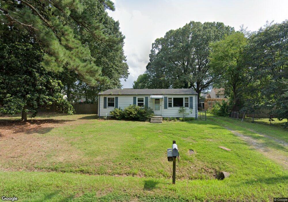
5021 Bay Cir Suffolk, VA 23435
Nansemond NeighborhoodEstimated Value: $229,000 - $303,000
--
Bed
--
Bath
912
Sq Ft
$280/Sq Ft
Est. Value
About This Home
This home is located at 5021 Bay Cir, Suffolk, VA 23435 and is currently estimated at $255,143, approximately $279 per square foot. 5021 Bay Cir is a home located in Suffolk City with nearby schools including Northern Shores Elementary School, John Yeates Middle School, and Nansemond River High School.
Ownership History
Date
Name
Owned For
Owner Type
Purchase Details
Closed on
Feb 1, 2017
Sold by
Martin John J and Martin Ruth M
Bought by
Brandriff Art and Brandriff Anne
Current Estimated Value
Home Financials for this Owner
Home Financials are based on the most recent Mortgage that was taken out on this home.
Original Mortgage
$110,000
Outstanding Balance
$91,075
Interest Rate
4.2%
Mortgage Type
Seller Take Back
Estimated Equity
$164,068
Create a Home Valuation Report for This Property
The Home Valuation Report is an in-depth analysis detailing your home's value as well as a comparison with similar homes in the area
Home Values in the Area
Average Home Value in this Area
Purchase History
| Date | Buyer | Sale Price | Title Company |
|---|---|---|---|
| Brandriff Art | $110,000 | Attorney |
Source: Public Records
Mortgage History
| Date | Status | Borrower | Loan Amount |
|---|---|---|---|
| Open | Brandriff Art | $110,000 |
Source: Public Records
Tax History Compared to Growth
Tax History
| Year | Tax Paid | Tax Assessment Tax Assessment Total Assessment is a certain percentage of the fair market value that is determined by local assessors to be the total taxable value of land and additions on the property. | Land | Improvement |
|---|---|---|---|---|
| 2024 | $2,618 | $194,800 | $74,200 | $120,600 |
| 2023 | $2,477 | $173,400 | $74,200 | $99,200 |
| 2022 | $1,712 | $157,100 | $74,200 | $82,900 |
| 2021 | $1,664 | $149,900 | $74,200 | $75,700 |
| 2020 | $1,674 | $150,800 | $74,200 | $76,600 |
| 2019 | $1,674 | $150,800 | $74,200 | $76,600 |
| 2018 | $1,677 | $147,900 | $74,300 | $73,600 |
| 2017 | $1,583 | $147,900 | $74,300 | $73,600 |
| 2016 | $1,550 | $144,900 | $74,300 | $70,600 |
| 2015 | $790 | $134,800 | $64,200 | $70,600 |
| 2014 | $790 | $134,800 | $64,200 | $70,600 |
Source: Public Records
Map
Nearby Homes
- 5109 Hoffler St
- 5028 Bay Cir
- 6832 Ivanhoe Ct
- 6602 James Point Ct
- 4913 Marina Dr
- 6750 Burbage Landing Cir
- 6446 Olde Bullocks Cir
- 6417 Pelican Crescent N
- 4726 River Shore Rd
- 1132 Samuel Greene Way
- 1130 Samuel Greene Way
- 4071 Long Point Blvd
- 1129 Marston St
- 6215 Cambridge Dr
- 1211 Worden Way
- 1207 Worden Way
- 1018 Ashworth Way
- 6109 Compton Ct
- 2002 Ashworth Way
- 2020 Ashworth Way
- 5025 Bay Cir
- 5017 Bay Cir
- 6815 Burbage Landing Cir
- 6813 Burbage Landing Cir
- 6817 Burbage Landing Cir
- 5201 Ellen St
- 6819 Burbage Landing Cir
- 5013 Bay Cir
- 5029 Bay Cir
- 5100 Hoffler St
- 6809 Burbage Landing Cir
- 6821 Burbage Landing Cir
- 5203 Ellen St
- 6807 Burbage Landing Cir
- 6700 Burbage Landing Cir
- 6823 Burbage Landing Cir
- 5031 Bay Cir
- 5009 Bay Cir
- 6810 Burbage Landing Cir
- 5104 Hoffler St