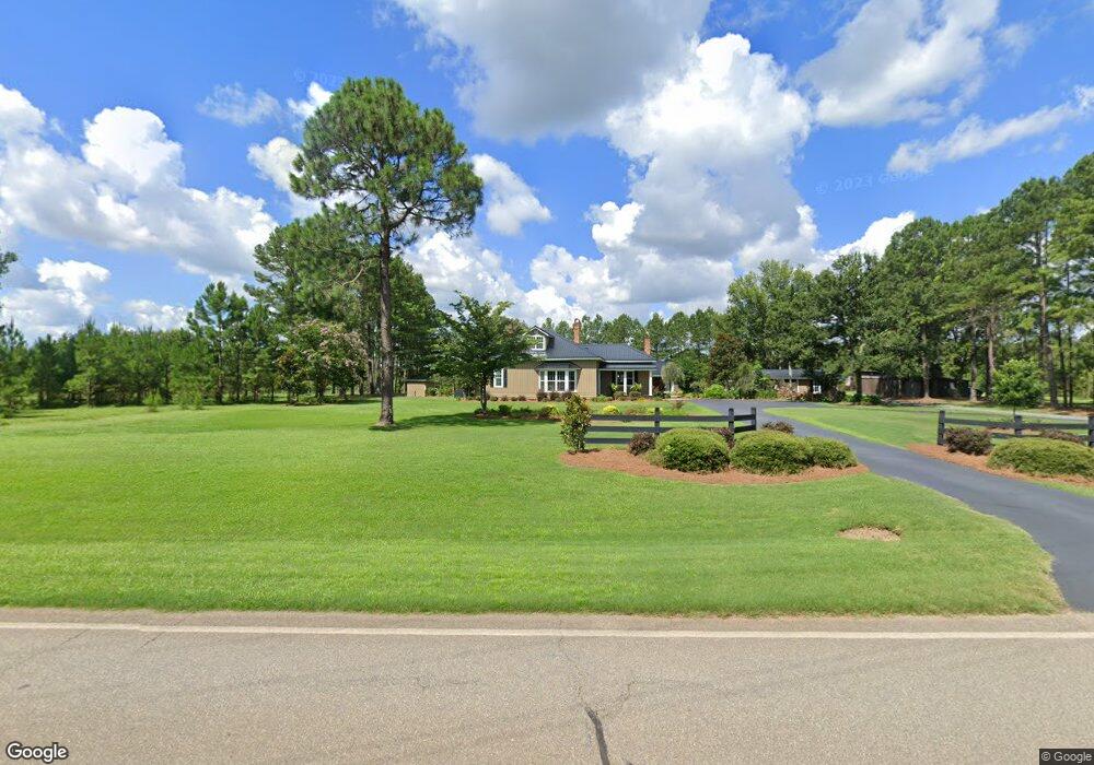
5023 Ga Highway 41 Shellman, GA 39886
Estimated Value: $231,000 - $267,000
2
Beds
2
Baths
1,762
Sq Ft
$142/Sq Ft
Est. Value
About This Home
This home is located at 5023 Ga Highway 41, Shellman, GA 39886 and is currently estimated at $249,701, approximately $141 per square foot. 5023 Ga Highway 41 is a home located in Randolph County with nearby schools including Randolph County Elementary School, Randolph Clay Middle School, and Randolph Clay High School.
Ownership History
Date
Name
Owned For
Owner Type
Purchase Details
Closed on
Aug 24, 2005
Sold by
Langford Bryson H
Bought by
Langford Daniel Scott and Langford Kelli B
Current Estimated Value
Home Financials for this Owner
Home Financials are based on the most recent Mortgage that was taken out on this home.
Original Mortgage
$116,000
Outstanding Balance
$61,132
Interest Rate
5.71%
Mortgage Type
New Conventional
Estimated Equity
$188,569
Purchase Details
Closed on
Aug 25, 1999
Bought by
Langford Bryson H
Create a Home Valuation Report for This Property
The Home Valuation Report is an in-depth analysis detailing your home's value as well as a comparison with similar homes in the area
Home Values in the Area
Average Home Value in this Area
Purchase History
| Date | Buyer | Sale Price | Title Company |
|---|---|---|---|
| Langford Daniel Scott | $115,000 | -- | |
| Langford Daniel Scott | $115,000 | -- | |
| Langford Bryson H | $20,000 | -- | |
| Langford Bryson H | $20,000 | -- |
Source: Public Records
Mortgage History
| Date | Status | Borrower | Loan Amount |
|---|---|---|---|
| Open | Langford Daniel Scott | $116,000 | |
| Closed | Langford Daniel Scott | $116,000 |
Source: Public Records
Tax History Compared to Growth
Tax History
| Year | Tax Paid | Tax Assessment Tax Assessment Total Assessment is a certain percentage of the fair market value that is determined by local assessors to be the total taxable value of land and additions on the property. | Land | Improvement |
|---|---|---|---|---|
| 2024 | $2,946 | $74,228 | $3,440 | $70,788 |
| 2023 | $2,627 | $74,228 | $3,440 | $70,788 |
| 2022 | $2,626 | $74,228 | $3,440 | $70,788 |
| 2021 | $2,029 | $56,478 | $3,467 | $53,011 |
| 2020 | $2,088 | $56,478 | $3,467 | $53,011 |
| 2019 | $2,081 | $56,478 | $3,467 | $53,011 |
| 2018 | $1,734 | $49,134 | $3,467 | $45,667 |
| 2017 | $1,741 | $49,134 | $3,467 | $45,667 |
| 2016 | $1,718 | $48,297 | $2,630 | $45,667 |
| 2015 | -- | $48,297 | $2,630 | $45,667 |
| 2014 | -- | $43,326 | $2,630 | $40,696 |
| 2013 | -- | $43,326 | $2,629 | $40,696 |
Source: Public Records
Map
Nearby Homes
- 6605 Pearl St
- 48 Cheney St
- Pierce Rd
- 6 E Railroad St
- 0 Carver St
- 4560 Graves Hwy
- 2373 Moncus Rd
- 540 Veneys Mill Pond Rd
- 161 College St
- 0 Main St
- 151 College St NE
- 109 Main St
- 318 Church St
- 2055 Payne Pond Rd
- 0 Cattle Gap Rd
- 109 Cattle Gap Rd
- 6310 Georgia 520
- 3649 Benevolence Hwy
- 1853 Warner Rd
- 13XX Graves Hwy